
The Earth’s Open Ledger: Anjihai Grand Canyon’s Red Layers in Shawan, Tacheng
红层千仞裂平川,一谷雷霆落九天 Hóngcéng qiānrèn liè píngchuān, yī gǔ léitíng luò jiǔtiān – A thousand ren of red strata split the plain; one canyon of thunder falls from the ninth heaven.
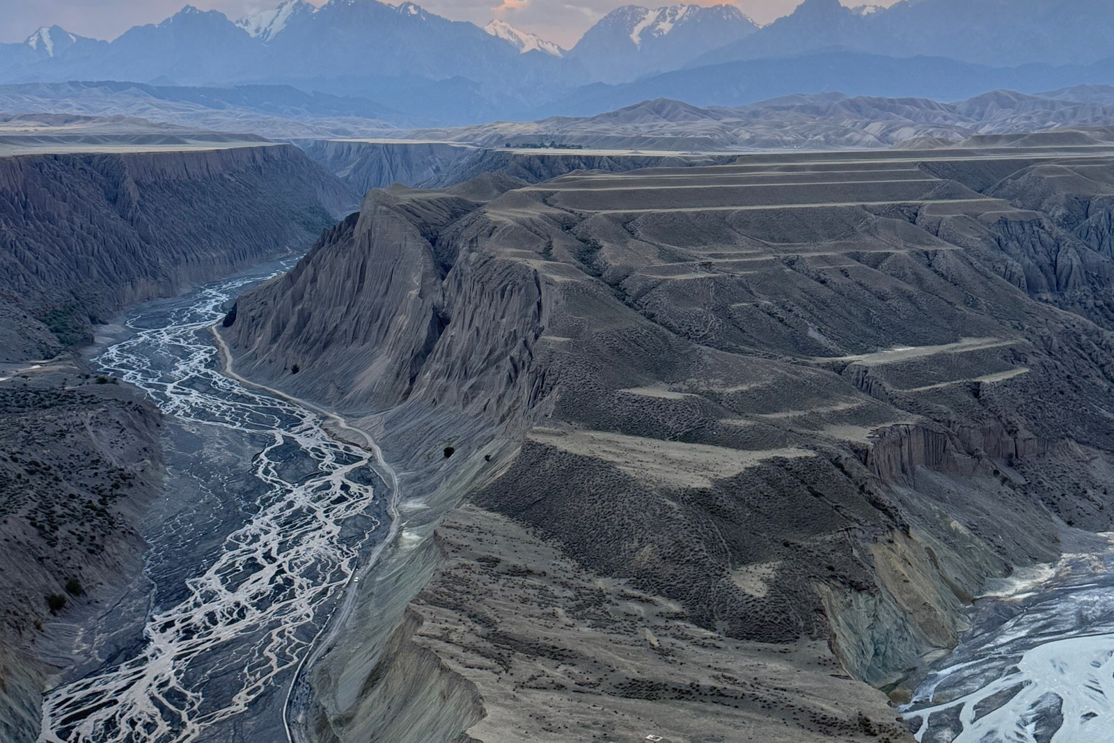
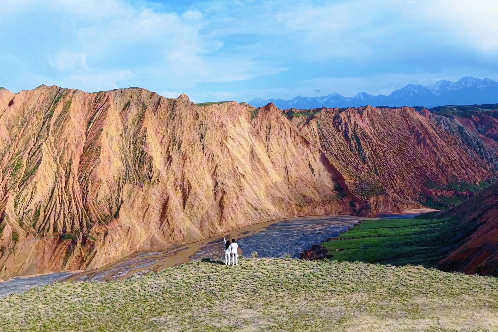
安集海大峡谷 Ānjíhǎi Dàxiágǔ the Anjihai Grand Canyon – locals also call it Hongshan, the red mountain – opens without warning in the flat farmland of Shawan on the northern rim of the Tianshan (worth confirming the details for the access roads, since the rim is reached on farm tracks that change with the season and the county keeps no grand entrance gate). The Anjihai river cuts through hundreds of metres of stacked sediment – rust, ochre, grey-green and ash – and the braided gravel bed below spreads like a silver rope thrown down the gorge. From the rim the canyon reads as a ledger of the Quaternary: every flood season writes a new page, every drought leaves a stripe.
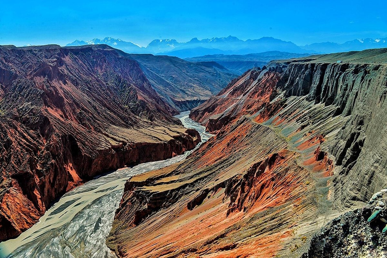
Two plans cover the gorge. The first is the rim drive: follow the viewpoint tracks on the western lip, walk ten minutes between the viewing knolls, and keep back from the overhangs, which crumble without sound. The second is the photograph plan – come in late afternoon when the west light flattens the red bands and the shadows pool in the side gullies, or at dawn in May when snow still dusts the far rims. The stock answer in kind: stand where the fence ends, not where the crowd clusters; the best knoll is usually the second one back from the pull-off.
Call it honestly: this is a working landscape, not a scenic area – no railings, no tickets, no toilets beyond the village shops (worth confirming the details for the wind, which on the rim is constant and cold even in July). What repays the drive is the scale: a canyon that begins as a crack in a wheat field and ends as a kilometre-deep amphitheatre, with the Tianshan snowline holding the horizon. Give it two hours, wear closed shoes, and never walk the lip after rain.
Practicalities
Nearly everything else on this Tacheng list trades a different mood on the same prefecture: 塔城红楼 Tǎchéng Hónglóu the Tacheng Red Mansion for the border-town history, 巴尔鲁克山 Bā’ěrlǔkè Shān the Barluk mountains for the bloom slopes, 库鲁斯台草原 Kùlúsītái Cǎoyuán the Kurustai grassland for the flat wet meadows, or 江格尔文化城 Jiānggé’ěr Wénhuà Chéng the Janger Culture City for the epic’s homeland – four more doors into the same 塔城地区 Tǎchéng Dìqū Tacheng Prefecture. Once the day is planned, our Tacheng food map fills the eating hours.
Practicalities
Words and Names
flowcloud would say the Anjihai gorge is the prefecture’s open ledger: the river keeps writing, the red layers keep answering, and every visitor reads a different page. All checked November 2026.
Getting there: The canyon rim lies about thirty kilometres south-west of Shawan city centre on the old Anjihai river road; self-drive is the practical way, taxis negotiate round trips, and the last kilometres run on dirt farm tracks – dry weather only, and no lip walking after rain. All checked November 2026.