
Where the Dunes Walk into the Water: White Sand Lake on the Karakoram Highway
白沙拥碧水,一镜两重山 Báishā yōng bìshuǐ, yī jìng liǎng chóng shān – White sand embraces jade water; one mirror holds two ranges of mountains
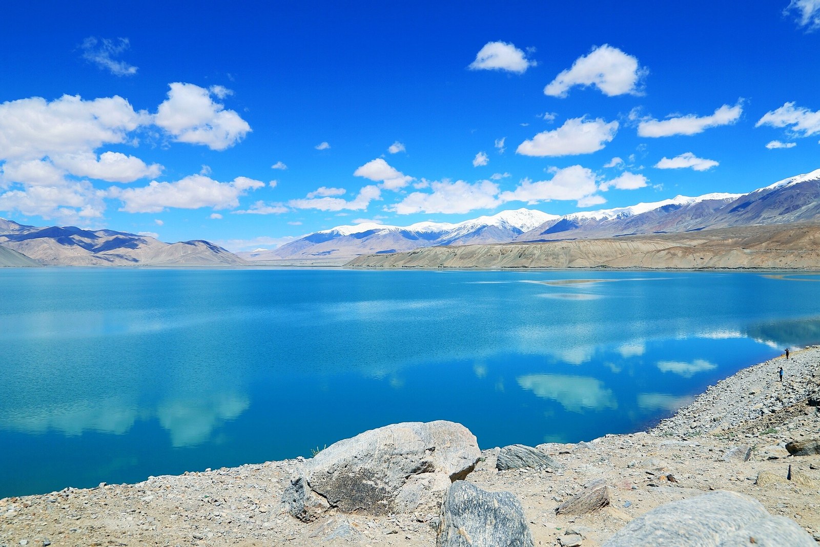
正文:白沙湖 Báishā Hú White Sand Lake appears beside the Karakoram highway about twenty kilometres north of Aktao county town, deep in 克孜勒苏柯尔克孜自治州 Kèzīlèsū Kē’ěrkèzī Zìzhìzhōu Kizilsu Kirghiz Autonomous Prefecture – a glacial basin where pale sand dunes slide off the hills and end, quite literally, in turquoise water. On calm mornings the lake turns into a single unbroken mirror: dunes above, dunes below, snow peaks of the eastern Pamir stacked behind, and the highway’s early traffic reflected as softly as the clouds. Travellers who have crossed half of Xinjiang by road name this pullout the moment the landscape stopped making sense in the best way.
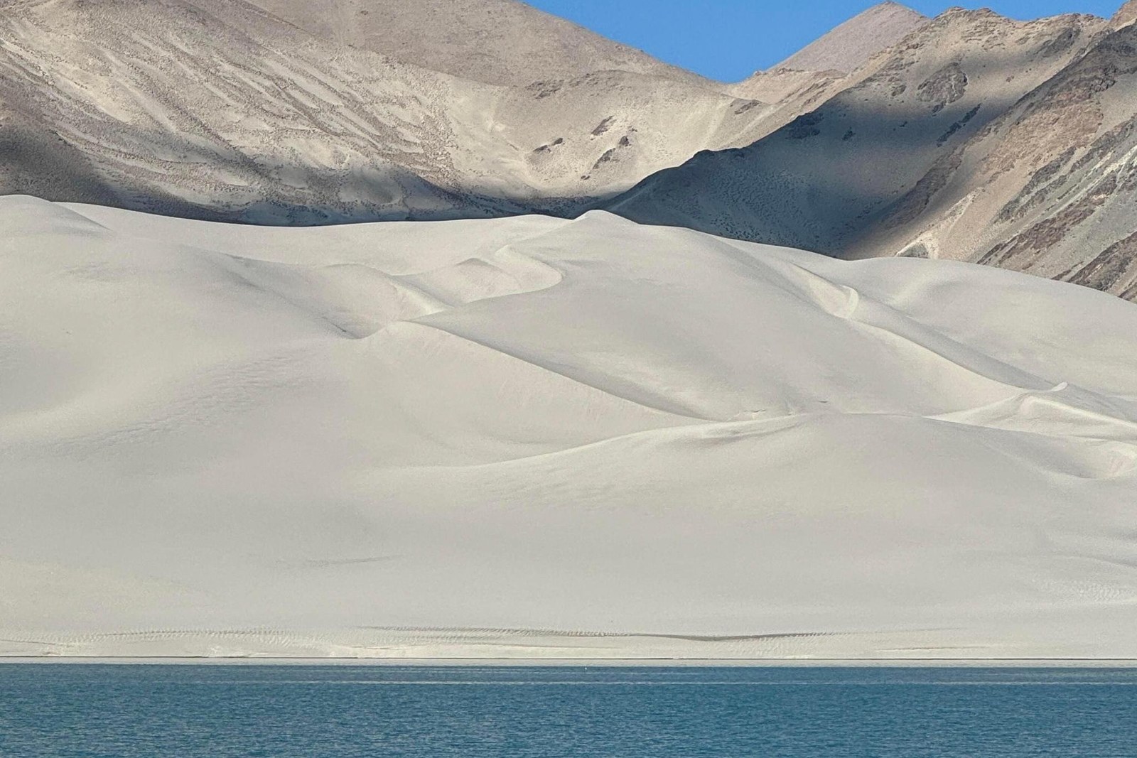
The dunes are the odd part. Sand here did not blow in from a desert far away; it is ground-down rock, light-coloured and fine, shed by the surrounding mountains and sorted by wind into crescents that lean on the lakeshore. The result is a paired landscape – sand mountain and snow mountain in one frame – that geologists explain as glacial flour and weathered granite meeting at the waterline, and that everyone else simply photographs until the memory card fills. Walk the shore and your footprints cross wind ripples that would look at home in the Taklamakan, three thousand metres lower.
Weather writes the day’s script. Windless mornings give the mirror; afternoon winds rough the surface into brass and push the sand in visible streams off the crests – the dunes are still moving, grain by grain, into the water. Clouds change everything: grey days flatten the turquoise, but broken cloud brings light shafts that wander across the shallows like searchlights. Rain is rare; snow in winter turns the whole scene monochrome and silent, with the dunes wearing thin white caps above water that stays impossibly blue-green where springs feed it from below.
The lake sits at about three thousand three hundred metres, which visitors feel as a dry, thin air and a fast-setting sun. Locals from Aktao treat it as a picnic destination and a stop on the way to Tashkurgan; long-distance buses on the G314 will halt at the pullout on request, and the roadside vendors – tea eggs, flatbread, hot milk tea in the cold months – are better than their positioning suggests. Half an hour here resets a road-weary traveller completely; two hours is enough to watch the light do a full act change.
Practicalities worth knowing. There is no ticket booth on the highway shoulder – viewpoints are informal and the shore is public land, so mind the traffic and the fence lines. Bring your own water and layers; the wind cuts even in summer, and there is no shade anywhere on the sand. Drone rules along this border corridor are strict, so leave the aircraft packed. Altitude sickness is mild here but real for flyers coming straight from lowland cities – take the pullout slowly and let the tea help.
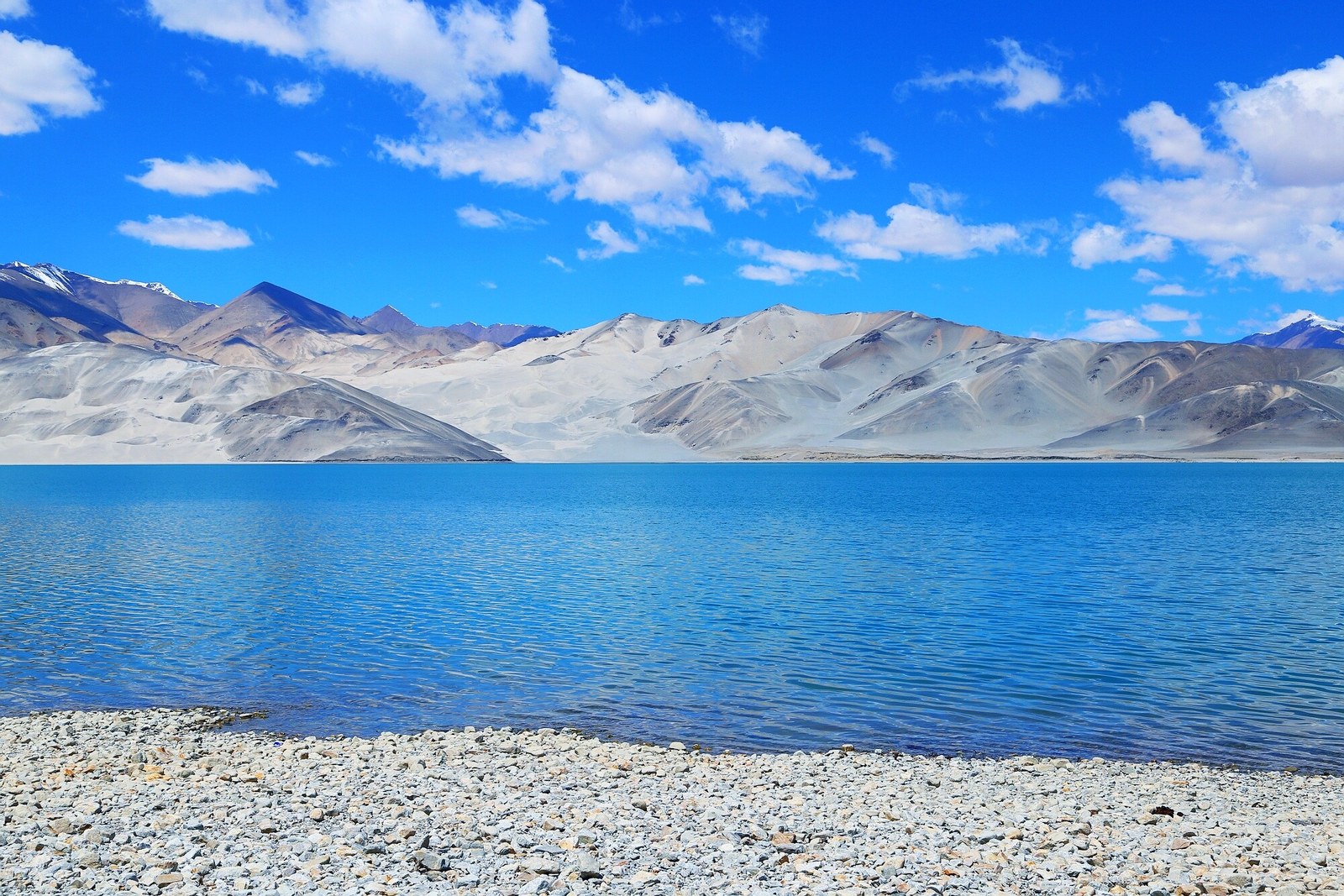
Photographers should decide their priority before arriving: mirror mornings argue for sleeping in Aktao and arriving at first light, while the moving-sand afternoons argue for a later start from Atush or a lunch stop en route to the Khunjerab. Both schools agree on one thing – walk to the far end of the first dune ridge, where the sand meets the reeds and the water goes glassy between the hummocks. That corner, more than the highway pullout, is the lake’s real portrait.
As a waypoint the lake anchors the whole southern loop of Kizilsu: glaciers and arch in the north, dune-lake and border plateaus in the south, with the Karakoram highway stitching them together through gorges that deserve their own slow day. Whatever the itinerary, plan the fuel and the checkpoint buffer around Aktao town, keep the camera batteries warm, and let the sand do the talking – it has clearly been rehearsing for millennia.
Practicalities
South along the highway, the same 克孜勒苏柯尔克孜自治州 Kèzīlèsū Kē’ěrkèzī Zìzhìzhōu Kizilsu Kirghiz Autonomous Prefecture keeps more places worth the detour: 奥依塔克冰川公园 Àoyītǎkè Bīngchuān Gōngyuán Oytagh Glacier Park for the spruce and ice, 阿图什天门 Ātúshí Tiānmén Atush Tianmen for the stone arch, 阿合奇猎鹰 Āhéqí Lièyīng Aheqi Falconry for the horseback eagles, or 西陲第一哨 Xīchuí Dìyī Shào the West Frontier First Outpost for China’s last sunrise – four more doors into the same 克孜勒苏柯尔克孜自治州 Kèzīlèsū Kē’ěrkèzī Zìzhìzhōu Kizilsu Kirghiz Autonomous Prefecture. Once the dunes are seen, our Kizilsu food map fills the day.
Practicalities
Words and Names
flowcloud would say White Sand Lake is the Karakoram highway’s best trick: you round a bend expecting more gravel and instead find dunes walking into turquoise water under snow peaks, all in one unearned, unforgettable frame. All checked November 2026.
Getting there: The lake lies right beside the G314 Karakoram highway about 120 kilometres south of Atush and roughly 20 kilometres north of Aktao county town – every Kashgar-to-Tashkurgan bus and minivan passes the pullout, and drivers will stop on request. Coming by private car, park at the lakeside lot on the west shore. All checked November 2026.