
Where the Mountain Wears Flowers: The Barluk Range and Its Wild Almond Slopes Above Yumin
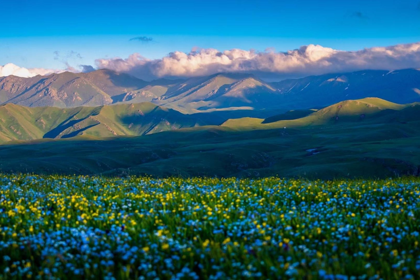
山花烂漫接云涯,牧笛一声过岭斜 Shānhuā lànmàn jiē yúnyá, mùdí yīshēng guò lǐng xié – Mountain flowers run wild to the edge of the clouds; one herder’s flute crosses the slope aslant.
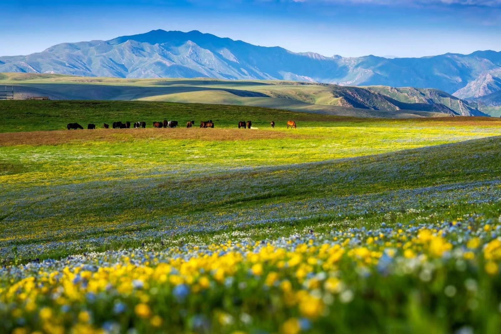
巴尔鲁克山 Bā’ěrlǔkè Shān the Barluk mountains rise between Yumin county and the Kazakhstan line, a long green wall whose southern slopes hold one of Xinjiang’s strangest sights – hillsides of wild almond, the yěbādànxìng wild Balkhash almond scrub, that flower pink-white for two or three weeks each May (worth confirming the details for the bloom window, which shifts with the year and is announced locally rather than in any national forecast). Below the blossom slopes the land folds into sheep pastures and spruce gullies; above it the ridgelines carry the frontier, watched from the famous poplar guard post lower in the valley.
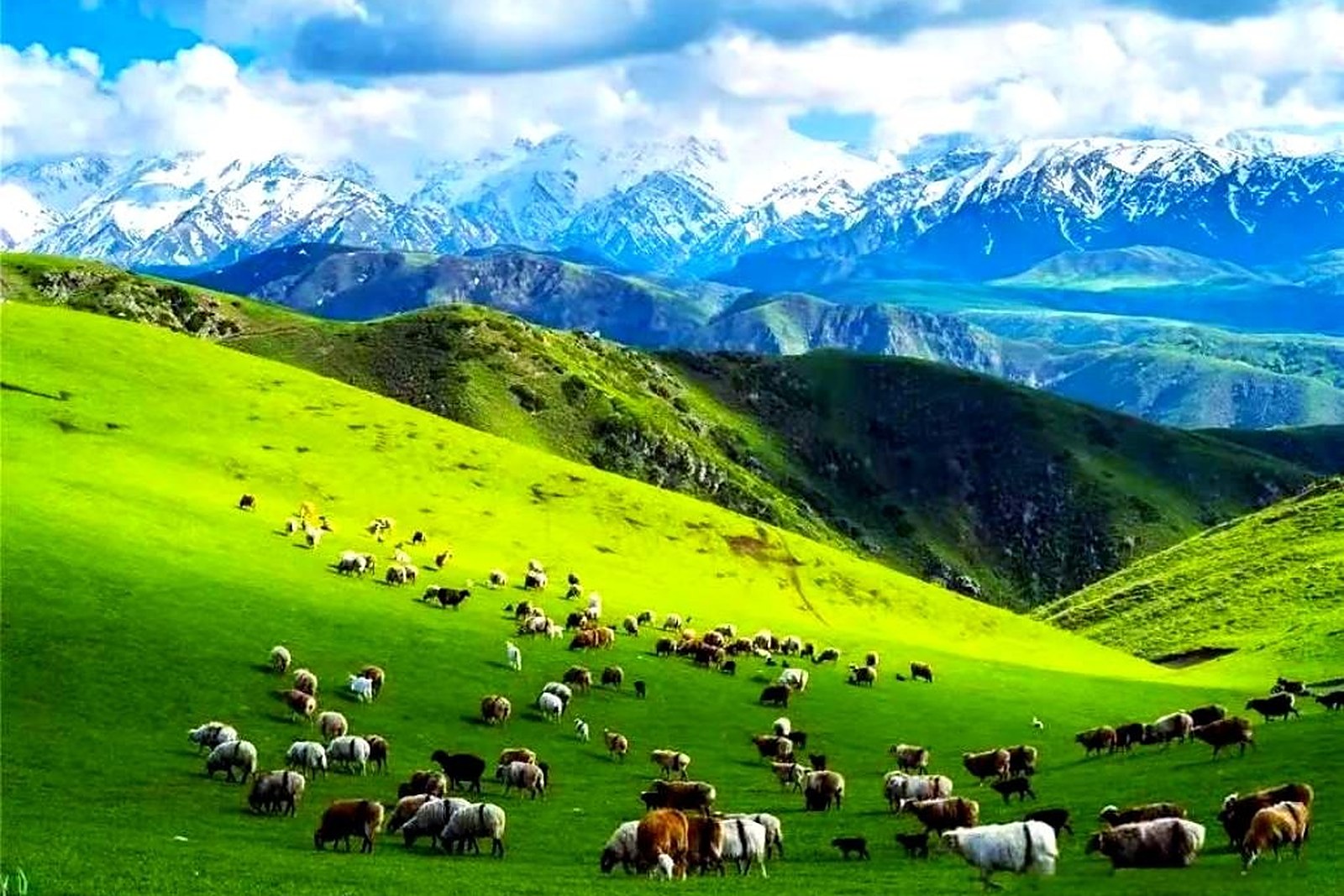
Two plans cover the range. The first is the bloom run: base in Yumin county town, drive up through the foothill pastures in the first week of the flower news, and walk the boardwalk sections of the wild almond reserve where the bushes grow shoulder-high. The second is the mountain plan – the summer pastures behind the ridge hold Kazakh camps, horse trails and cold springs, and the valley roads link a full loop with the border museum on the way home. The stock answer in kind: go at bloom time, sleep in Yumin, and let the mountain take the whole day.
Call it honestly: the Barluk is a locals’ mountain, not a scenic-area machine – signage is thin, English is thinner, and the best slopes open and close with the herding calendar (worth confirming the details for the reserve rules, which protect the almond scrub and forbid picking). What repays the effort is the rarity: a hillside in full flower that smells faintly of almonds, with eagles over the ridgeline and no coach park in sight.
Practicalities
Nearly everything else on this Tacheng list trades a different mood on the same prefecture: choose 安集海大峡谷 Ānjíhǎi Dàxiágǔ the Anjihai Grand Canyon for the red strata, 塔城红楼 Tǎchéng Hónglóu the Tacheng Red Mansion for the trade-era brick, 库鲁斯台草原 Kùlúsītái Cǎoyuán the Kurustai grassland for the flat meadows, or 江格尔文化城 Jiānggé’ěr Wénhuà Chéng the Janger Culture City for the epic halls – four more doors into the same 塔城地区 Tǎchéng Dìqū Tacheng Prefecture. Once the day is planned, our Tacheng food map fills the eating hours.
Practicalities
Words and Names
flowcloud would say the Barluk is the prefecture’s flower ledger: May writes it pink, June writes it green, and the herders’ flute signs every page. All checked November 2026.
Getting there: The reserve roads start about twenty kilometres south of Yumin county town on paved foothill highways; self-drive and hired cars from Yumin or Tacheng city work best, and the bloom slopes spread across several side valleys – plan two or three stops rather than one gate. All checked November 2026.