
Empire in Rammed Earth: The Tang Frontier Capital of Beiting in Changji, Xinjiang
大都护府土城深,一堵残垣说盛唐 Dà dūhù fǔ tǔchéng shēn, yī dǔ cán yuán shuō shèng Táng – Deep in the earth walls of the Grand Protectorate, one broken rampart still tells of the High Tang.
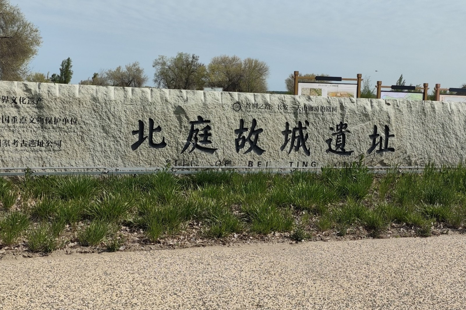
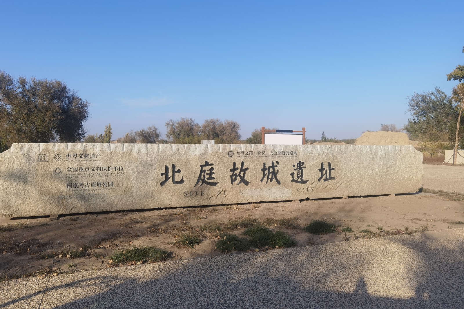
北庭故城 Běitíng gùchéng the Beiting ruins level out across the wheat plain of Jimsar county, the eleven-kilometre rectangle of rammed earth that was the Tang dynasty’s supreme military seat in the Western Regions – protectorate seat, Buddhist stronghold, and silk-road customs post in one (worth confirming the details for the new museum hall and its bronze-plate models of the Tang town). The listing is UNESCO’s, on the Silk Roads corridor, but the experience is rawer than that suggests: you drive or walk a perimeter between gate stumps and wall fragments, cross land where the monastery pagoda base still rises, and read fourteenth centuries of wind erosion as architecture. Nothing is rebuilt; everything is legible.
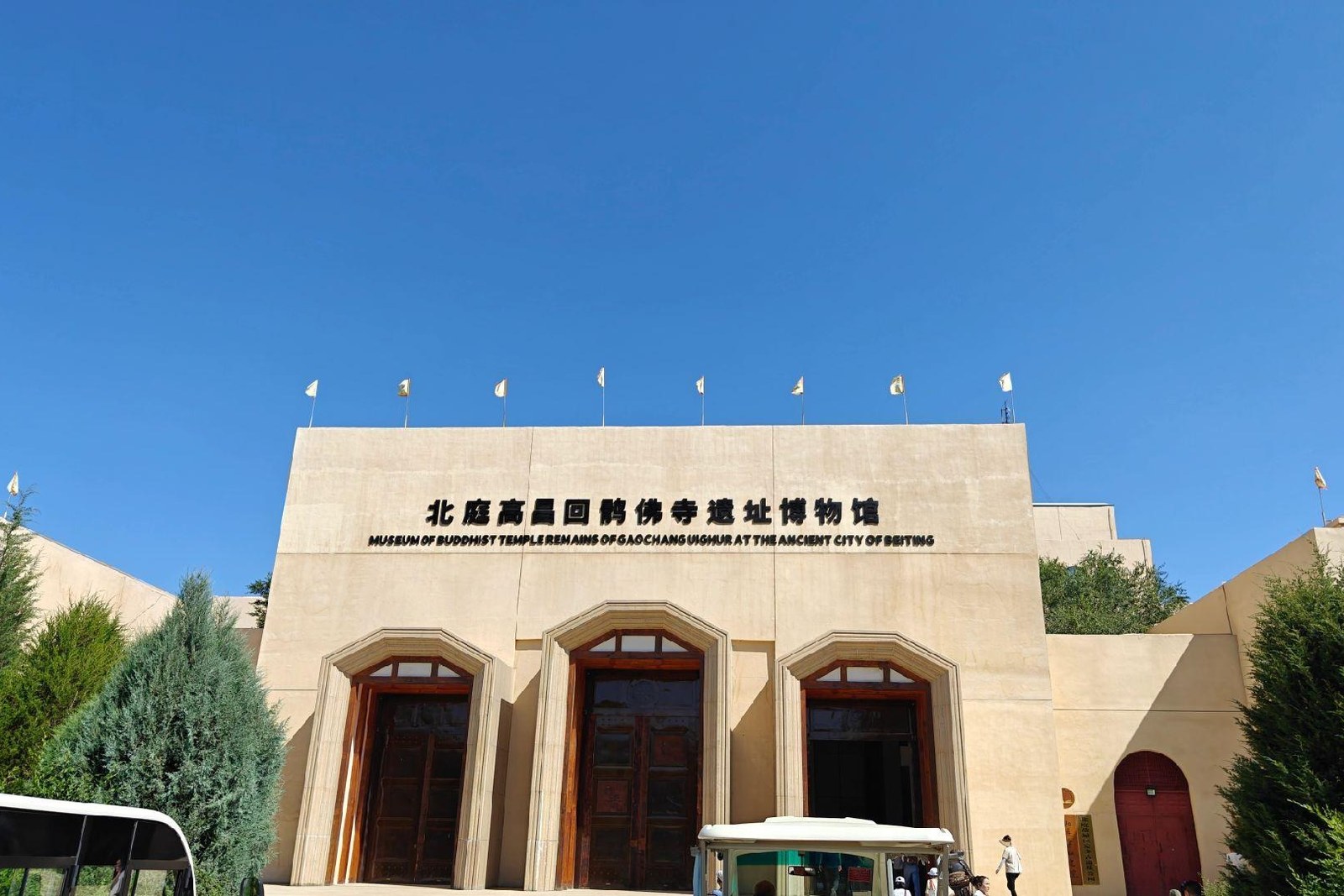
Two kinds of travellers get the most from it. The first are history travellers who arrive having read about Gaochang and Anxi, and who stand on the western rampart reconstructing a garrison city from a mound field – the museum’s excavated pagoda chambers and painted clay fragments give them the detail the plain withholds. The second are road trippers breaking the Urumqi-Barkol run, who stop for an hour and find the light over the earth walls worth the detour alone. The stock answer in kind: enter at opening, walk the south wall first while the sun is low, and let the wheat fields do the colour work around the mud.
Call it honestly: Beiting is a site for the imagination rather than the camera bag – there is no shaded walk, little interpretation in English, and the walls are low enough that first-time visitors sometimes feel they are looking at a ploughed field (worth confirming the details for the pagoda-site interior visits, which run on guided sessions). What converts sceptics is context: a museum hour before the wall walk, plus the knowledge that this earth held the Tang empire’s westernmost supreme command. Come in May or September for clear air, bring sun protection and water, and give the site two unhurried hours rather than a drive-by.
Practicalities
Nearly everything else on this Changji list trades a different mood on the same prefecture: choose 天山天池 Tiānshān Tiānchí the Heavenly Lake for the alpine counterpoint, 江布拉克 Jiāngbùlākè Jiangbulake for the living wheat country that once fed this garrison, 奇台魔鬼城 Qítái móguǐchéng the Qitai Ghost City for the wind’s own architecture, or 昌吉小吃街 Chāngjí xiǎochījiē the Changji food street for a warm bowl after the walls – four more doors into the same 昌吉回族自治州 Chāngjí Huízú Zìzhìzhōu Changji Hui Autonomous Prefecture. Once the day is planned, our Changji food map fills the eating hours.
Practicalities
Words and Names
flowcloud would say Beiting is the prefecture’s memory palace: mud and patience, wind for a soundtrack, and the Tang still standing in the only material that never needed to impress anyone. All checked November 2026.
Getting there: The ruins lie a few kilometres north of Jimsar county town, an easy taxi run from the bus station (worth confirming the details for the museum annex hours); the perimeter road allows driving between the gate stumps, and dawn light reads the earthen ramparts best. All checked November 2026.