
Fur Roads and Furrows: The Tenth Division’s Story at the Beitun Museum
锹镐开出万顷田,戍边人写一家言 Qiāogǎo kāichū wàn qǐng tián, shùbiān rén xiě yījiā yán – Spades and hoes opened ten thousand acres of field; the frontier holders wrote their own account
正文:北屯博物馆 Běitún Bówùguǎn the Beitun museum keeps the story of the Tenth Division – the regiment-farm army that walked into the Altai frontier in 1950 and never really marched out. Halls move from the deep past to the hard present: the stone-age carvings and fur-trade routes of the Irtysh valley, the herding cultures of the Kazakh and Mongol grasslands, and then the turn of the century when soldiers put down rifles, took up spades, and drew the farm maps that became 北屯市 Běitún Shì Beitun City.
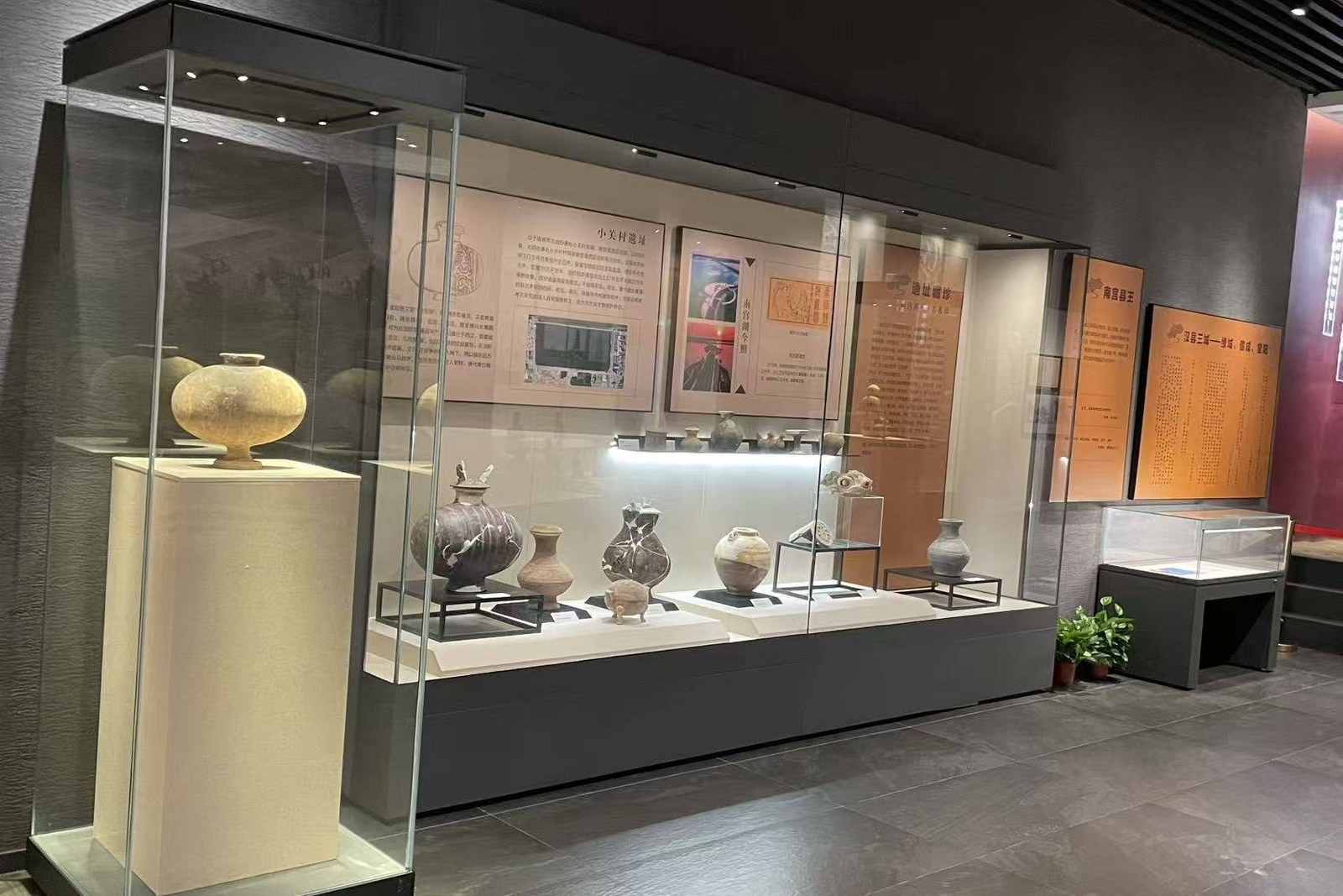
The frontier galleries come first, and they set the stage well. Display cases hold the tools of the old river economy – saddle fittings, silverwork, the saddlery and tack of a horse-based world – while wall maps trace the fur caravans and the caravan towns that ringed the Altai. The regiment rooms then pick up the chronology: the 1950 landfall at this river bend, the first winter dugouts, the canal lines inked over empty steppe, and the instrument panels of a decade that measured everything in sweat and survey chains.
The reclamation hall is the heart of it. Vitrines hold the actual kit – the fur-lined boots, the horse-drawn seeders, kerosene lamps and the hand-copied muster books – and the wall photographs do the talking: rows of mud-brick cabins rising on treeless flats, women teaching class in rooms that were barns the month before, and the first harvests stacked against a sky with nothing else in it. It is a small museum, but the story it keeps is not a small one.
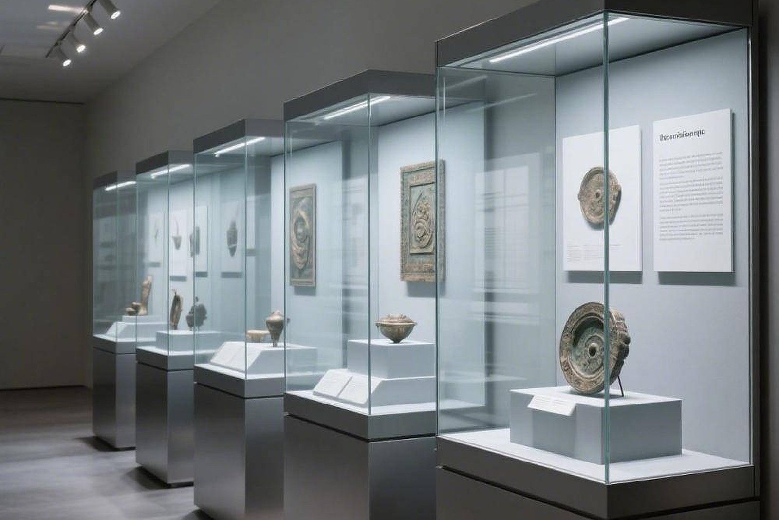
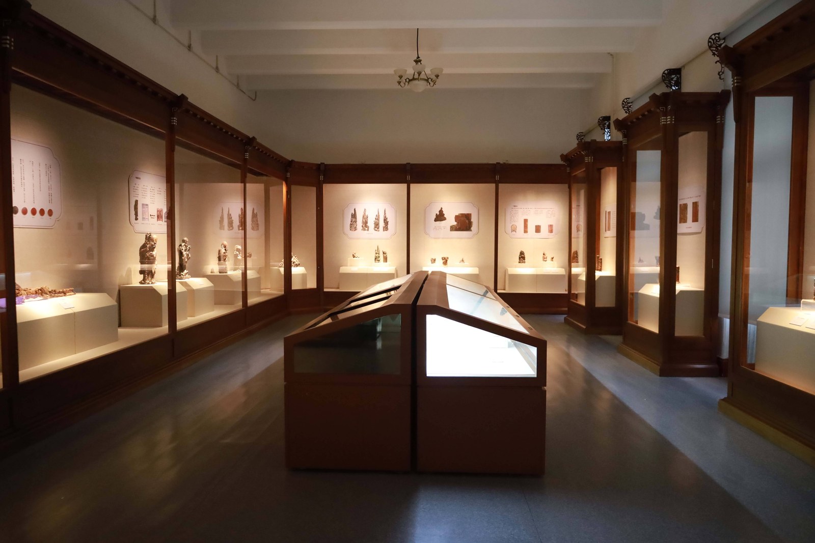
Allow an unhurried hour and the sequence lands. Captions run in Chinese with English summaries in the lobby folder, the halls are lit kindly, and the regiment map room – the farm lines drawn across the whole northern frontier – rewards a slow look from the bench in the middle. Families manage it easily in a morning; photographers give the artefact cases their patience and are paid in texture: sheepskin, ironwood, stamped brass.
The museum also frames the city outside. When you leave, the streets make sense – why the avenues run so straight, why the poplar belts follow the canals, why the farms you passed on the road in carry numbers instead of names. Few towns of this size keep their own founding papers so tidily, and fewer still stage them beside the older, deeper frontier that the regiments stepped into.
Practicalities first. The museum sits in the civic quarter a short taxi ride from the center, runs daytime hours with the usual Monday closing, and asks only an ID at the desk. Pair it with the river promenade in the afternoon – the gallery’s maps and the actual river bend, one after the other, is the best single history lesson Beitun sells.
Practicalities
Beyond the museum, the same 北屯市 Běitún Shì Beitun City keeps more places worth the detour: 额尔齐斯河畔 É’ěrqísī Hé Pàn the Irtysh river banks, 得仁山 Dérén Shān Deliang mountain with its viewing terraces, 白沙湖 Báishā Hú Baishahu lake on the far frontier, or 塘巴湖 Tángbā Hú Tangbahu lake for the reedbed sunsets – four more doors into the same 北屯市 Běitún Shì Beitun City. Once the museum is seen, our Beitun food map fills the day.
Practicalities
Words and Names
flowcloud would say the Beitun museum is the frontier’s family album opened to the public: fur roads and survey chains, dugouts and muster books, and the plain pride of a division that drew its farms in ink and then built them in mud and salt – a small hall with a long memory. All checked November 2026.
Getting there: The museum stands in Beitun’s civic quarter, a short taxi ride from the center; the halls run daytime hours and the regiment map room rewards a slow hour. All checked November 2026.