
玉带白云,横锁苍山。Yùdài báiyún, héng suǒ Cāngshān – A white cloud like a jade belt lies across Cangshan.
苍山 Cāngshān Cangshan Mountain is the wall Dali leans its back against – a fault-block range running about 50 km along the lake’s west side, cut by nineteen peaks and the eighteen streams that fall from them into Erhai, with the highest point 马龙峰 Mǎlóng Fēng Malong Peak at 4,122 m. The mountain is not free: three ropeways sell the view, and the price ladder is the plan. 感通索道 Gǎntōng Suǒdào returns for 100 yuan after the 2025 fare adjustment (platforms bundle the geopark entry at 119-130), 中和索道 Zhōnghé Suǒdào for about 105, and the 洗马潭索道 Xǐmǎtán Suǒdào for 320 return on the full line to the 3,900-plus m upper station, half-line about 190. The honest shape is that the mountain is a paid day trip sold in three slices, and you pick one.
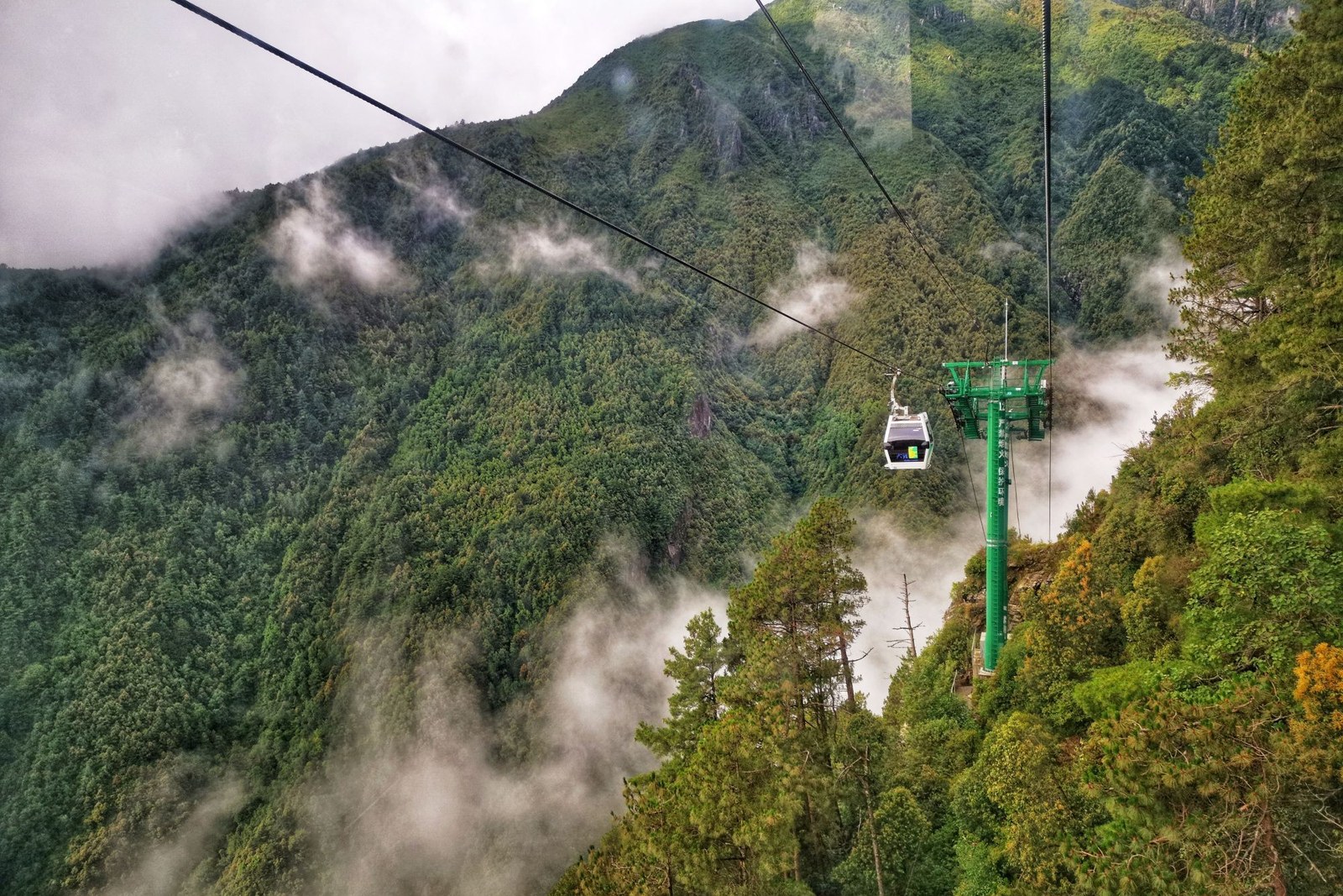
The mechanism is water meeting stone. The range is a world geopark – a fault-block wall of old metamorphic rock, the marble that took Dali’s name – and the 玉带云 Yùdài Yún jade-belt cloud that locks across its middle each morning is Erhai’s own vapour condensing against the ridge. The 十八溪 Shibā Xī eighteen streams are the lake’s plumbing; the 玉带云游路 Yùdài Yún Yóu Lù cloud-belt trail (about 11.5 km between the ropeway areas) is the flat walk along the cloud line. In early summer the upper slopes turn pink with 杜鹃 dùjuān azalea and hydrangea, and above 3,500 m the 冷杉 lěngshān firs grow flag-shaped, every tree a weather vane. The comparison with the old town is exact: the town is the stroll, the mountain is the day.
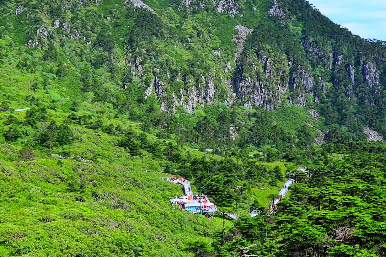
Locals pick the ropeway by what they want to eat. 感通索道 Gǎntōng Suǒdào lands at 2,600 m above 感通寺 Gǎntōng Sì and 寂照庵 Jìzhào Ān Jizhao nunnery – a vegetarian convent famous for succulents and a simple 素斋 sùzhāi lunch (20 yuan a head, served from about 11:30) – and is the first-timer’s line, twenty minutes in a six-seat cabin. 中和索道 Zhōnghé Suǒdào runs open chairs to 中和寺 Zhōnghé Sì for the wide 苍洱 Cāng’ěr Cangshan-Erhai panorama. 洗马潭索道 Xǐmǎtán Suǒdào is the summit line – 5,555 m of cable and 1,648 m of climb to the high lake that carries a Mongol horse-watering legend – and the upper station is real altitude: bring a layer, take it slow, and check the line is running in wind or snow before you buy, because the ropeways stop for weather.
Practicalities
Tickets: The mountain is not free, and the price ladder is the plan: 感通索道 Gǎntōng Suǒdào returns for 100 yuan after the 2025 fare adjustment (platforms bundle the geopark entry at 119-130), 中和索道 Zhōnghé Suǒdào for about 105, and 洗马潭索道 Xǐmǎtán Suǒdào for 320 return on the full line to the 3,900-plus m upper station, 190 on the half line. There is no graded 景区 to buy into: 苍山 Cāngshān is a UNESCO world geopark (admitted September 2014, a national geopark since 2005) inside a nature reserve, run as a paid ropeway operation, with the geopark entry bundled into the ropeway tickets on the platforms. The honest shape is a mountain sold in three slices, and you pick one.
Opening hours: Ropeway hours are the mountain’s hours, set by the stations rather than a gate: 感通索道 Gǎntōng Suǒdào sells about 08:30-16:00, and the summit line runs shorter hours in wind or snow, so the honest instruction is to check the day’s running before you buy – the upper station is real altitude at about 3,900 m, and the ropeways stop for weather. The practical split is morning over afternoon, because cloud builds across the belt after noon.
Closing day: None published for the mountain itself, which is a reserve rather than a museum; the ropeways stop for weather rather than for a calendar day, which is the honest caveat. Book the morning cabin if the forecast is doubtful, because a stopped ropeway is the day’s only real closure – the trails do not shut.
Getting there: 苍山 Cāngshān, 大理市 Dàlǐ Shì, west of the old town – the ropeway stations sit along the 214国道 Èryāosì Guódào / 西景线 Xījǐng Xiàn west road: 感通索道 Gǎntōng Suǒdào at 七里桥 Qīlǐqiáo (the address for 感通寺 Gǎntōng Sì and 寂照庵 Jìzhào Ān), 洗马潭索道 Xǐmǎtán Suǒdào near 三月街 Sānyuè Jiē and the film city, 中和索道 Zhōnghé Suǒdào on the 隐仙路 Yǐnxiān Lù side. Taxis from the old town run 15-30 minutes; driving, give the navigation the ropeway name, never “Cangshan”.
Words and Names
苍山 Cāngshān Cangshan Mountain · the 50-km fault-block wall west of the lake, nineteen peaks and eighteen streams
十九峰十八溪 Shíjiǔ Fēng Shíbā Xī “nineteen peaks, eighteen streams” · the mountain’s own count and the lake’s plumbing
马龙峰 Mǎlóng Fēng Malong Peak, 4,122 m · the range’s highest point, the one that keeps the snow
玉带云 Yùdài Yún the jade-belt cloud · Erhai’s vapour condensing across the ridge each morning
洗马潭 Xǐmǎtán Xima Pool, the high lake · the summit line’s goal, with its Mongol horse-watering legend
寂照庵 Jìzhào Ān Jizhao nunnery, vegetarian · the succulent convent above 感通寺 Gǎntōng Sì, 素斋 sùzhāi lunch at 20 yuan
感通茶 Gǎntōng Chá Gantong tea · the mountain’s own tea, grown and sold beside the lower ropeway
苍洱 Cāng’ěr the Cangshan-Erhai pair · “silver mountain, jade lake”, the plain’s standing couplet
flowcloud would say that Cangshan is the wall Dali built its back against – nineteen peaks, eighteen streams, 4,122 m at Malong, sold by the ropeway – and that the honest move is to pick one line, not three, because the cloud belt is the view and the summit is the weather. All checked October 2026.