
Half a kilometre east of the 和平镇 Hépíng zhèn government building in east-central Qiongzhong, the 乘坡河 Chéngpō hé – which is to say, the upper Wanquan river by another name – runs over a kilometre-long apron of granite and through a question nobody has quite closed: are these potholes the work of ice or of water? The provincial daily put it plainly in 2018: geologists are still arguing. One camp says glacial potholes, 冰臼 bīngjiù, drilled more than two million years ago by meltwater falling through glacier fissures; the other says giant fluvial potholes, 壶穴 húxué, ground out over hundreds of thousands of years by gravel spinning in the current, wearing the rock hollow. Either way the result is the same field: a riverbed some 300 metres wide and a kilometre long, pocked with stone mortars, free to walk, and still arguing with itself about its own age.
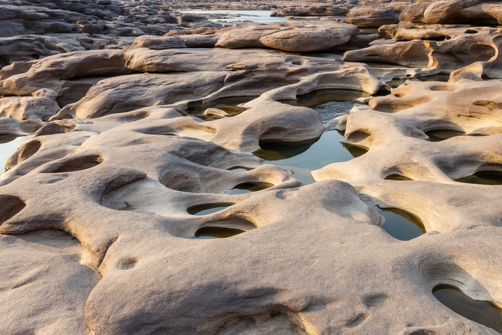
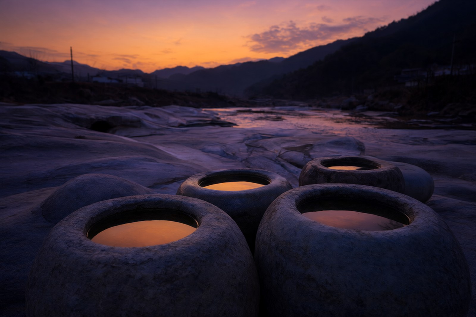
The shapes run to a local taxonomy. There are hoofprint mortars, bathtub mortars, mortars deep enough to stand in unbroken, and one perfectly round basin that local writers swear catches the full moon on the right night – filed here as riverbank poetry, not hydrology. The measurable version: round potholes from twenty centimetres to two metres across, trough forms ten-plus metres long, mortars nested inside mortars and linked in chains – 臼中套臼、臼外连臼, as the province’s own travel page prints it – some holding water, some pierced through at the bottom to show the river still working underneath. Among the two hundred-odd pothole fields Hainan has catalogued, the county’s claim is that this one is the boss.
Both theories fit the same evidence, which is why the argument lives. The glacial reading needs an ice age Hainan is not usually credited with, but its proponents point to the potholes’ depth, their polished interiors and their position on beds that today’s mild river could hardly gouge; the fluvial reading answers with physics that can be watched – steep cascade steps on a hard-gradient mountain river, vortices drilling trapped gravel round and round, decades compounding into centuries. The 2018 field piece let both stand, and so does this one: walk the bed and pick your own mechanism, preferably aloud.
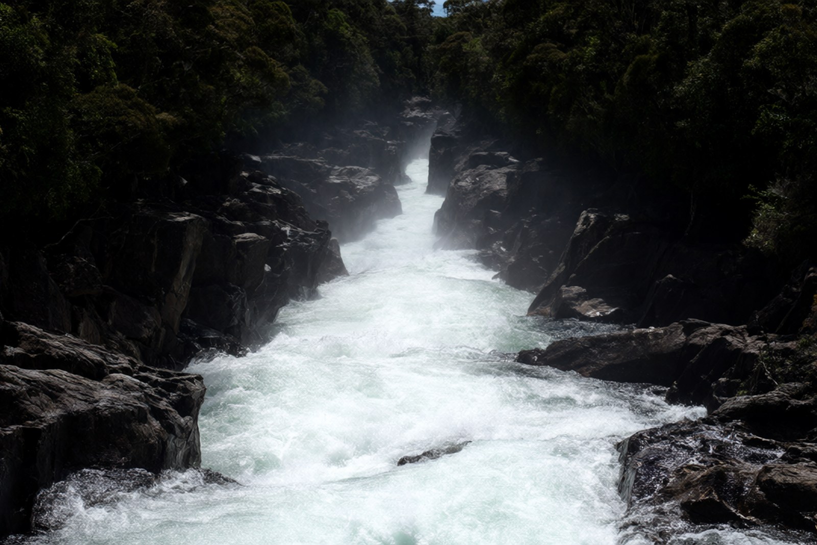
The river keeps its history too. On a boulder on the east bank is cut 唯战能存 wéi zhàn néng cún – only through struggle is there survival – the horizontal inscription of 王毅 Wáng Yì, the Qiongya defence commander of the war years, cut into the granite in running script. Upstream, the water backs into 万泉湖 Wànquán hú, the Niululing reservoir, with boat services reaching across to Qionghai past island clusters and gorges. Development has stayed light – the site was designated a potholes geopark as far back as 1985 and never built out, and a 2015 provincial push to create a full geopark has not produced a gate – so the county’s recent tourism line pairs it with the rafting run nearby: ride the rapids first, then read the riverbed.
Timing is the whole visit. In the dry season, roughly November to April, the river shrinks, the bed bares itself end to end and every mortar shows; in the wet months the field drowns, the current turns brown and loud – loud enough that conversation at the bank is shouting – and the safe distance is from the bank. The granite is slick even under dry feet, rain and rising water close the bed entirely, and the best camera angles are the main belt east of the town government and the near-ninety-degree bend a little upstream, where the river swings north and drops. Pair it with the morning at Baihua Ridge and the drive back through the orange orchards, and the day closes itself.
Practicalities
Tickets. Free – an undeveloped natural riverbed with no gate, no booth and no ticketing infrastructure of any kind. The rafting centre upstream sells its own tickets, separately.
Opening hours. Open at all hours, being a river: no walls, no lighting and no staff. Go in daylight, and go when it has not rained hard for a while.
Closing day. No closing day exists – the site is reachable year-round – but the full pothole field only emerges when the dry-season water level drops, so check recent rainfall before committing the drive; after heavy rain the bed is closed by water, not by rule.
Getting there. From the county seat it is about 30-40 minutes by car or hired car to the Heping town centre, on the road toward Wanning. Park in the town government’s own yard or by the people’s hospital opposite, and walk the few minutes east to the main pothole belt – the field begins two hundred metres from the government building. Buses are thin on this line; the drive is the practical way.
flowcloud would say that the potholes are the county’s honestest attraction – no gate, no price, no story settled – and that a field which took either two million years of meltwater or half a million years of spinning gravel to carve can certainly spare the visitor an hour to decide which.
Getting there: 乘坡河石臼群 Chéngpō hé shíjiù qún lies two hundred metres east of the Heping town government, 和平镇 Hépíng zhèn, Qiongzhong, Hainan, about 30-40 minutes by car from the county seat with parking in the government yard or by the hospital opposite; the site is free and open at all hours as an undeveloped riverbed (checked September 2026), the complete pothole field shows only in the dry season from about November to April, and the granite is slick – keep off the bed after rain or rising water.