
Where the River Meets the Guns: Dagu Fort Ruins
海门古炮对潮声,百年烟云土垒横 Hǎimén gǔpào duì cháoshēng, bǎinián yānyún tǔlěi héng – Old guns at the river’s mouth face the tide’s sound; a century of smoke and cloud lies across the earthen ramparts
大沽口炮台遗址 Dàgǔ Kǒu Pàotái Yízhǐ guards the Haihe mouth where the river meets the Bohai in 天津市滨海新区 Tiānjīn Shì Bīnhǎi Xīn Qū Binhai New Area – earthen ramparts and cannon mounts rebuilt around the battle scars of 1858 and 1900, when the fort line was the last gate before the capital’s coast. The small museum beside the walls walks visitors through smoke charts, recovered guns and the treaty-port years, and the river-bank platforms still hold the wide estuary sightline the fort was built to watch.
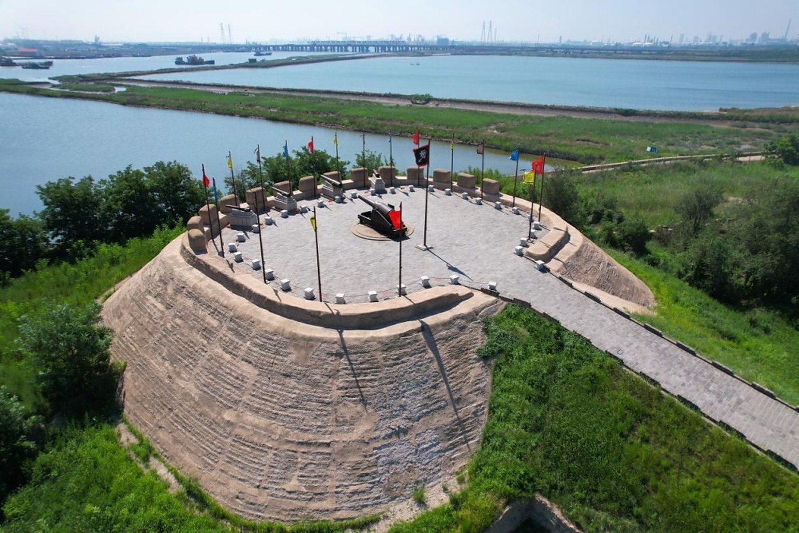
The ramparts are the visit’s spine. Grass-capped earthen walls curve above the tidal flats, cannon mouths pointed at a shipping channel that now carries container ships instead of gunboats, and the museum’s roofline sits low so the fort keeps its horizon. Standing on the platform, you read the water the way the gunners once did – every bend a firing solution, every tide a clock.
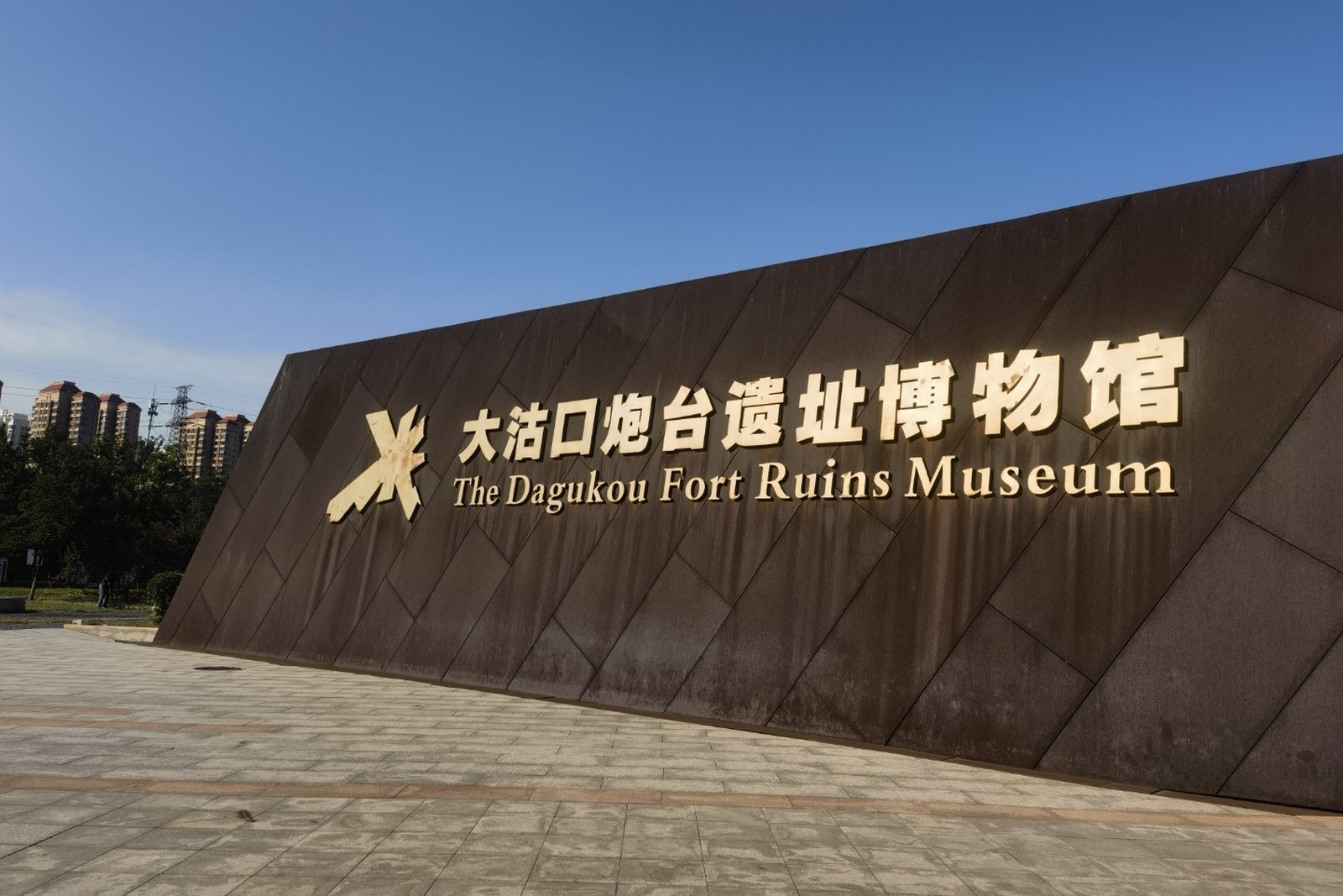
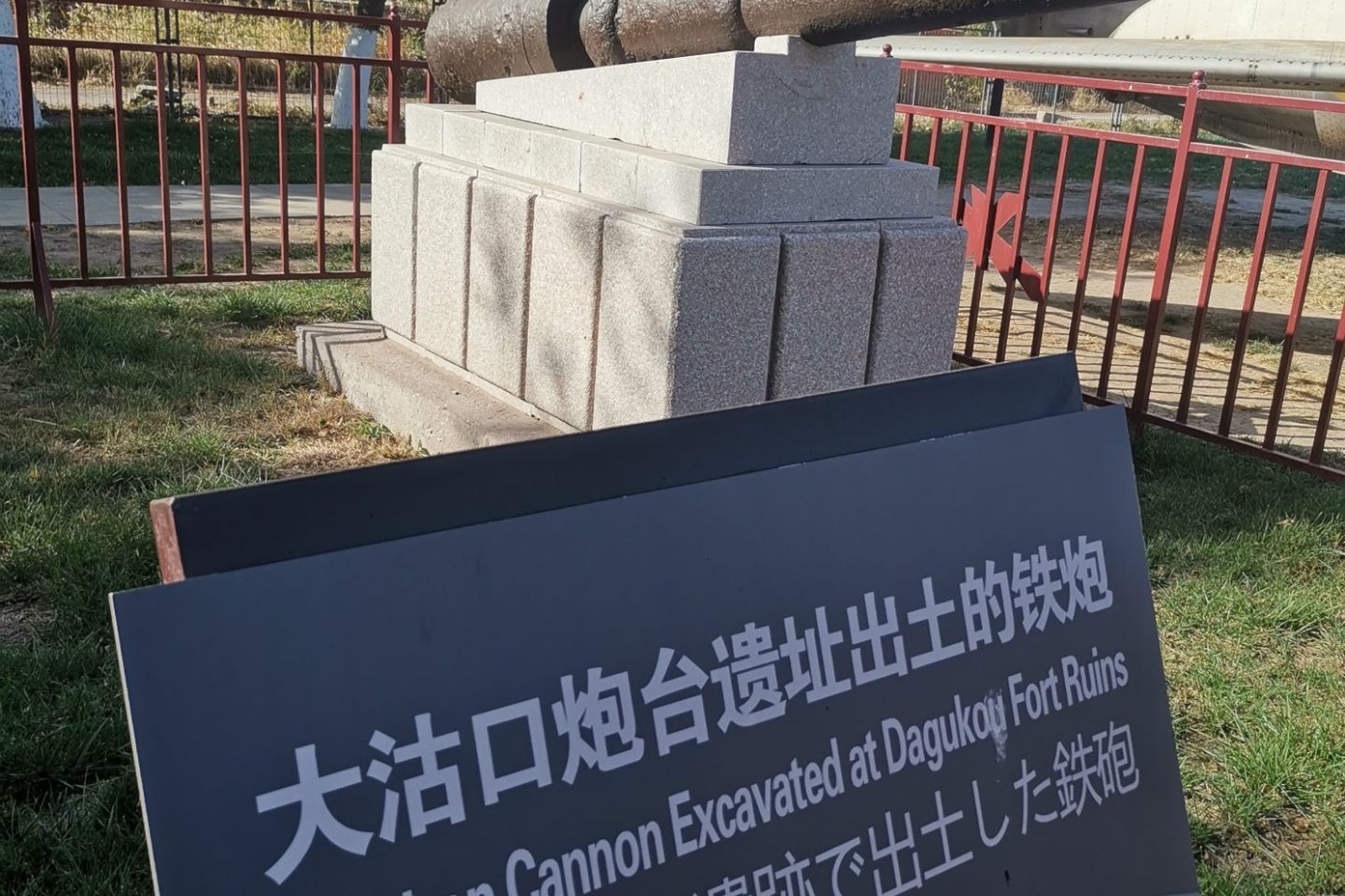
The museum fills in the story the walls can only hint at. Cast-iron guns fished from the riverbed, uniform plates and treaty documents, scale models of the fort line at its 1859 peak – the exhibits trace three battles and a dynasty’s coastal panic in an hour. The hall’s account of the 1859 defense, when the Qing guns bloodied the British squadron, remains the museum’s proudest room.
The setting gives the ruin its weight. The Haihe widens here into mudflats and gull flocks, the port skyline rises faintly downriver, and the wind off the Bohai keeps the reeds moving along the bund. Few sites in Tianjin tie geography to history this directly: the fort fell, the treaties followed, and the estuary you photograph is the reason both happened.
Practicalities
- The museum and rampart circuit take about two hours; the river-bank platforms are the photo stops.
- Signage runs Chinese-first with English captions in the main hall – the model rooms carry the fuller labels.
- Wind off the estuary is constant; a windbreaker earns its space even in summer.
- Pair the site with a Tanggu lunch – the harbor dining streets sit twenty minutes back upriver.
Words and Names
大沽口 Dàgǔ Kǒu the Dagu river mouth; 炮台 pàotái cannon fort; 京畿海门 jīngjī hǎimén the “sea gate of the capital,” the fort’s old title; 遗址 yízhǐ ruins site; 海河 Hǎihé the Haihe, Tianjin’s mother river. Beyond the fort, the same 天津市滨海新区 Tiānjīn Shì Bīnhǎi Xīn Qū Binhai New Area keeps more places worth the detour: 泰达航母主题公园 Tàidá Hángmǔ Zhǔtí Gōngyuán the aircraft carrier park, 国家海洋博物馆 Guójiā Hǎiyáng Bówùguǎn the national maritime museum, 东疆湾沙滩 Dōngjiāng Wān Shātān the man-made beach, or 滨海妈祖文化园 Bīnhǎi Māzǔ Wénhuà Yuán the sea-goddess park on the reclaimed coast – four more doors into the same Binhai New Area. Once the ramparts are behind you, our Binhai food map fills the table.
flowcloud would say Dagu Fort is the coast’s memory bank: earthen walls that read tides, a museum that reads treaties, and an estuary that explains why both exist. All checked November 2026.
Getting there: The fort site sits on the south bank of the Haihe mouth – drive the Tianjin Avenue corridor to the museum lots, or light-rail to Tanggu and a short cab across the river bridge; the museum and rampart circuit take about two hours. All checked November 2026.