
East Tianshan: The Snow Pass North of Hami, the White-Stone Meadows and the Scenic Highway Between Desert and Grassland in Hami, Xinjiang
雪线之上六月白,一路盘旋两重天。Xuěxiàn zhī shàng liùyuè bái, yī lù pánxuán liǎng chóng tiān – Above the snow line June lies white; the road twists through two different skies.
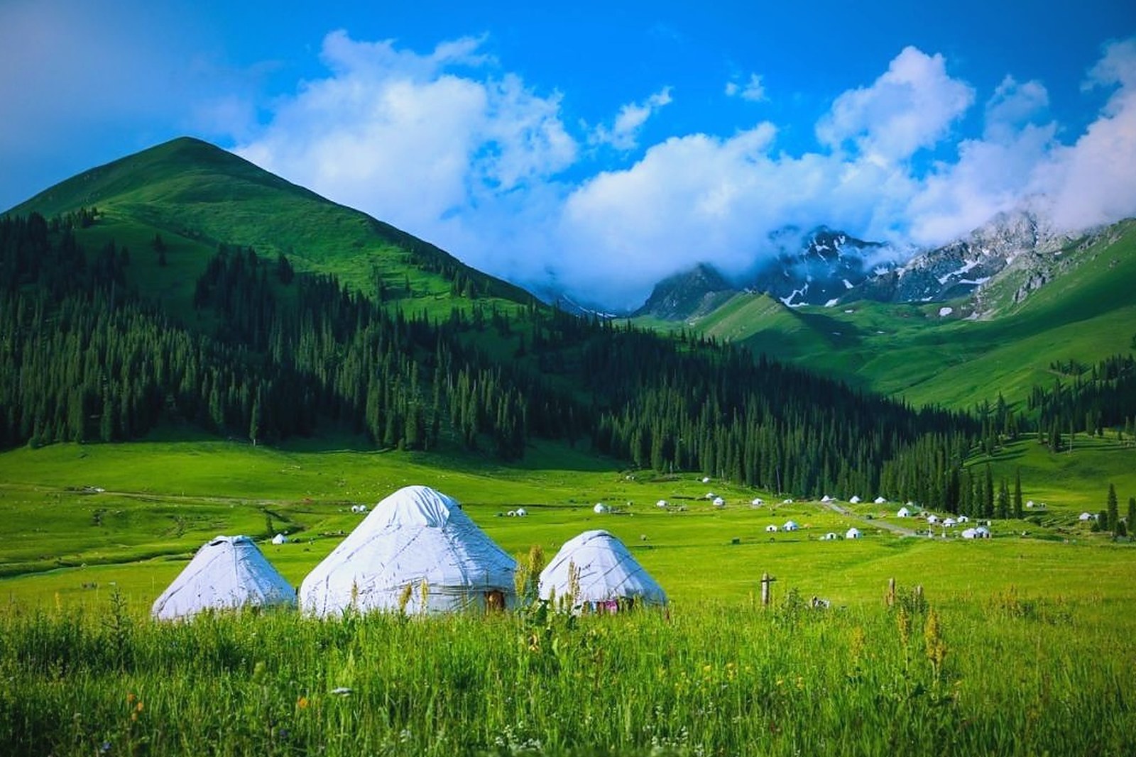
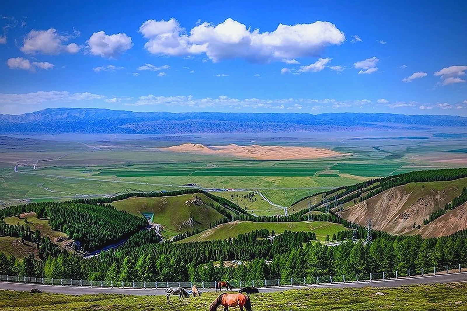
东天山 Dōngtiānshān the East Tianshan is the wall of snow and meadow that stands directly north of 哈密市 Hāmì Shì Hami City – the eastern section of the Tianshan range, crossed by the highway that climbs from the desert basin over the pass and down into the 巴里坤草原 Bālǐkūn Cǎoyuán Barkol Grassland beyond (worth confirming the details for the pass conditions, since the same road that carries summer tourists closes or chains-up in the winter snows). The drive is the attraction: the road leaves furnace heat at the basin floor, climbs through loess gullies and spruce belts, and tops out beside meadows where the 白石头 Báishítou White Stone scenic area lays out the classic composition – boulder, grass, snow peak, Kazakh horse. In June the upper slopes still hold snow while the meadows bloom; in October the larches go gold under the first dusting. The register is vertical weather: a day trip that crosses as many climates as a week of travel elsewhere.
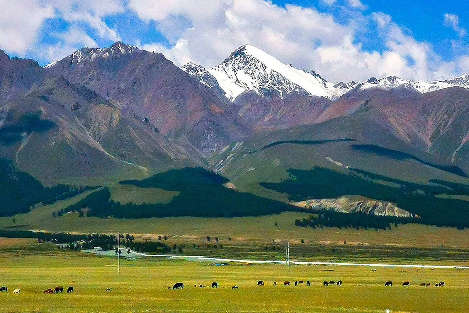
Two crowds take the pass: self-drivers working the Hami-to-Barkol route who stop at every pullout, and summer picnickers from the city who come for the meadow cool and the horse rides around the White Stone flats (worth confirming the details for the seasonal pass closures, which the snow weeks trigger). The stock answer in kind: the best mountain scenery Hami owns, a highway that does the sightseeing for you, and the fastest route from desert to snow in the prefecture.
Call it honestly: the East Tianshan is a road corridor more than a destination – the viewpoints are pullouts rather than built sites, the weather owns the schedule, and travellers expecting a summit cable car will find a highway and a meadow instead (worth confirming the details for the roadside facilities, which thin out above the tree line). What the map repays is the crossing itself: an hour’s drive moves you from date-palm heat to sheepskin-coat altitude, and the pass photo – snow above, desert haze behind – is one of the region’s best road shots. Against that: the scenery belongs to the driver as much as the passenger, fuel and food thin out on the Barkol side, and the wind at the top is a permanent institution. Drive it in daylight, keep the layers handy, and let the mountain collect the climates for you.
Practicalities
Nearly everything else on this Hami list trades a different mood on the same prefecture: choose 哈密回王府 Hāmì Huíwángfǔ the Hami Royal Mansion for the frontier court in the old city, 巴里坤草原 Bālǐkūn Cǎoyuán the Barkol Grassland for the valley this road descends into, 庙尔沟 Miào’ěrgōu Miaoergou for the foothill valley below the pass and 伊吾胡杨林 Yīwú Húyánglín the Yiwu Populus Euphratica Forest for the desert’s ancient groves – four more doors into the same 哈密市 Hāmì Shì Hami City. Once the day is planned, our Hami food map fills the eating hours.
Practicalities
Words and Names
flowcloud would say that an East Tianshan day is bought for the climb and the two skies – desert haze to snow-meadow noon in the November 2026 snapshot, all worth confirming the details – and that the honest move is to treat the road itself as the sight, because the pass sells the crossing and the meadow is the reward, keep the White Stone flats and the pullout photos as the plan, and let the range keep its winters locked above the grass. All checked November 2026.
Getting there: The scenic strip climbs the range directly north of the city – the highway over to Barkol crosses the best section, with viewpoints along the pass (worth confirming the details for the seasonal pass closures, which the snow weeks trigger); the 白石头 Báishítou White Stone area anchors the meadow walks. All checked November 2026.