
The River That Runs West: The Irtysh Banks at Beitun
一河春水向西流,白杨两岸锁清秋 Yī hé chūnshuǐ xiàng xī liú, báiyáng liǎng’àn suǒ qīngqiū – A river of spring water flowing west; poplar banks locking in the clear autumn
正文:额尔齐斯河畔 É’ěrqísī Hé Pàn the Irtysh river banks belong to the strangest river story in China – for the Irtysh is the country’s only great river that runs west, gathering the snowmelt of the Altai and carrying it through 北屯市 Běitún Shì Beitun City toward Kazakhstan and, a continent later, the Arctic Ocean. Along the city’s northern edge the water moves past poplar levees and gravel shoals in long green bends, and the promenade that follows it has become the town’s evening ritual: fishers on the weir, couples on the bench line, and the low gold light that makes even the power pylons look painted.
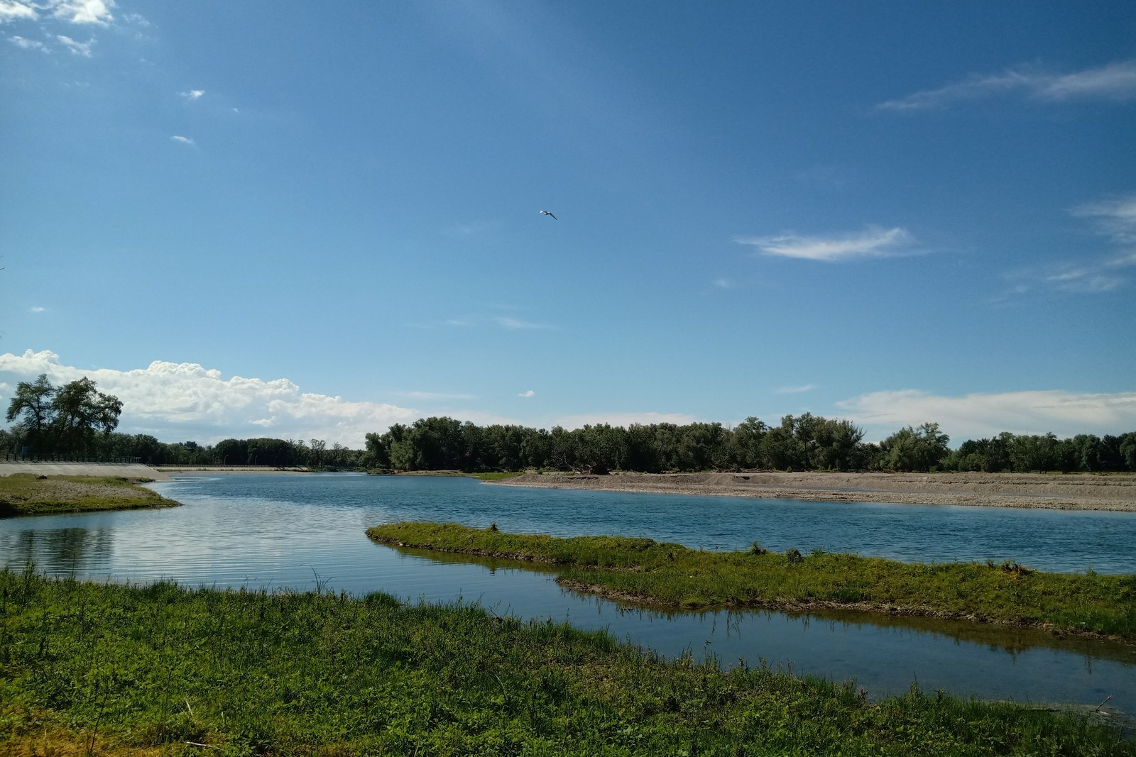
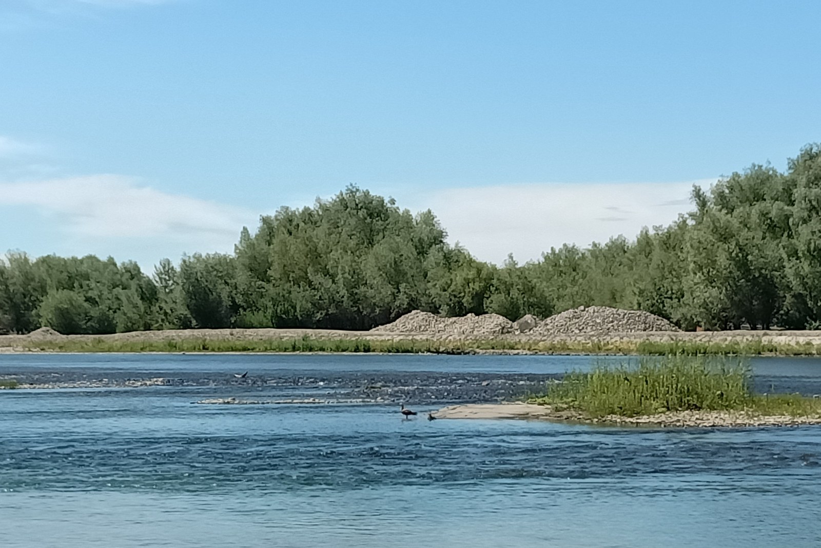
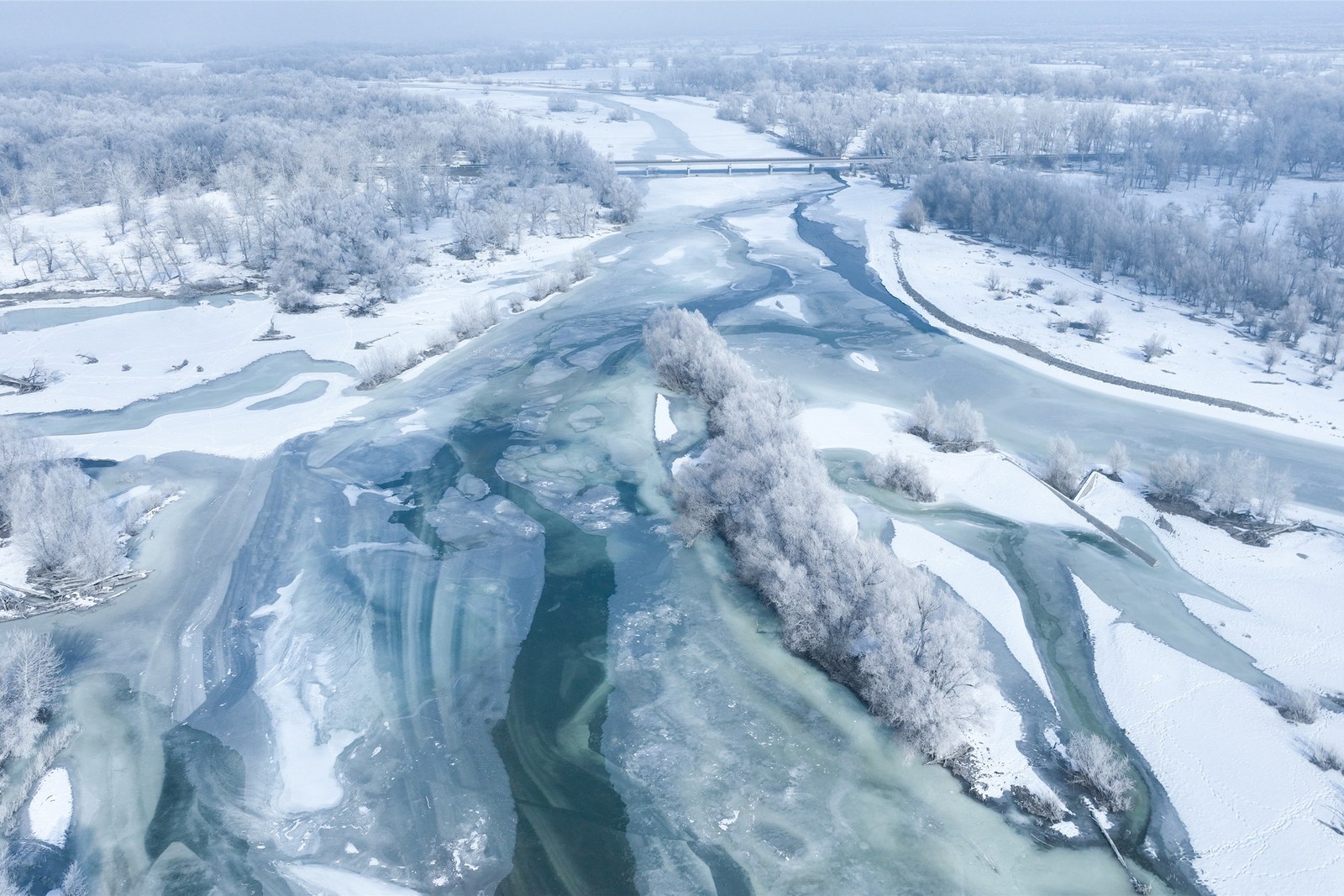
The banks change character with the seasons. Spring brings high grey-green water rolling with the thaw; summer drops the river into braided channels where herons stalk the shallows; and autumn sets the poplar belt on fire, gold against a sky that seems wider here than anywhere south of the mountains. In winter the whole river locks – locals call it 封河 fēnghé – and the ice carries ridges of spray frozen mid-roll, an aerial seascape that drone pilots cross counties to shoot.
Walk it the local way: start at the levee steps by the eastern bridge, follow the waterline as far as the ferry memory-park, and sit out the last light on the western point where the river bends out of sight. The paths are flat and lit, the water sounds close, and the mountains frame everything – on clear evenings you can pick out the snowline that feeds the river you are watching.
The river is also the reason Beitun exists. The Tenth Regiment of the Xinjiang Production and Construction Corps chose this bend in the 1950s precisely because water ran past the door – canals took off from the bank to feed the farms, and the ferry crossing put the town on the road north. The levee carries that history quietly: old mooring stones, the crane posts of the first landing, and the poplars themselves, planted row by row by hands that were digging canals the same week.
For photographers the banks are the most generous hour of the day. Come in the hour before sunset and the water turns pewter and gold in stripes; come at first light in October and the mist lifts off the shallows while the birches on the far bank hold their yellow. Anglers working the weir pools make honest foreground subjects, and the geese and swans that rest here on migration will sit for you if you sit for them first.
Practicalities first. The promenade is free and open at all hours; the western end is calmer, the eastern bridge livelier, and the levee paths are stroller-friendly the whole way. Summer evenings bring the town out – ice-cream carts, kite lines, and the sunset crowd – while mornings belong to the fishers and the birds. Either way the river is the easiest, cheapest and most Beitun thing you can do with an hour.
Practicalities
Beyond the banks, the same 北屯市 Běitún Shì Beitun City keeps more places worth the detour: 得仁山 Dérén Shān Deliang mountain for the viewing terraces over the bend, 北屯博物馆 Běitún Bówùguǎn the Beitun museum for the regiment story, 白沙湖 Báishā Hú Baishahu lake for the dune-rimmed water of the far frontier, or 塘巴湖 Tángbā Hú Tangbahu lake for the reedbeds at dusk – four more doors into the same 北屯市 Běitún Shì Beitun City. Once the river banks are seen, our Beitun food map fills the day.
Practicalities
Words and Names
flowcloud would say the Irtysh banks at Beitun are the town exhaling: a west-running river with the whole Altai behind it, poplars doing their gold act every October, and a levee walk that turns a frontier city into a porch at sundown. All checked November 2026.
Getting there: The river banks run along the northern edge of Beitun; taxis reach the levee in minutes and the promenade is flat – late afternoon gives the poplars and water their best light. All checked November 2026.