
Guge Kingdom — the Citadel That Vanished Above the Sutlej
土山百丈殿千门,一朝王气化尘痕 Tǔ shān bǎi zhàng diàn qiān mén, yī zhāo wángqì huà chénhén – A hundred-zhang hill of a thousand-hall citadel; one morning the royal vapor turned to dust and trace
古格王朝遗址 Gǔgé Wángcháo Yízhǐ the Guge kingdom ruins crown a cream-yellow hill above the Sutlej gorge in 札达县 Zhádá Xiàn Zanda county – the walled citadel of a dynasty founded by the royal line of the old Tibetan empire around the tenth century and ruled, for some seven hundred years, from this single commanding rock. At its height Guge ran the western trade routes, patronized a great translation of the Buddhist canon, and built monasteries whose paintings still anchor the art history of the whole plateau; its fall, in the seventeenth century, came in a siege by the Ladakhi army that local telling still recounts step by step.
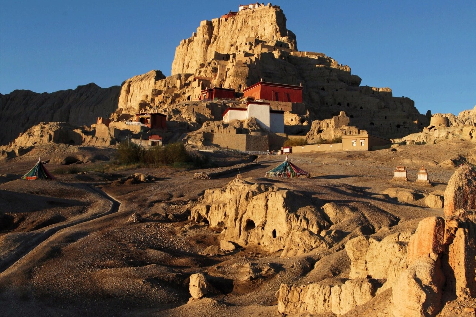
What remains is astonishing in scale and detail: several hundred rooms and storage caves honeycombing the cliff, 碉楼 diāolóu watchtowers and defensive walls ribboning the slopes, and palace halls on the summit reached by one guarded stair. Four temple halls survive – among them the 红殿 Hóng Diàn Red Chapel and 白殿 Bái Diàn White Chapel – and their mural cycles are the treasure: Kashmiri-influenced buddhas, mandalas of terrible precision, court scenes of dancers, musicians and tribute bearers, painted in pigments that have kept their warmth for four centuries behind closed doors.
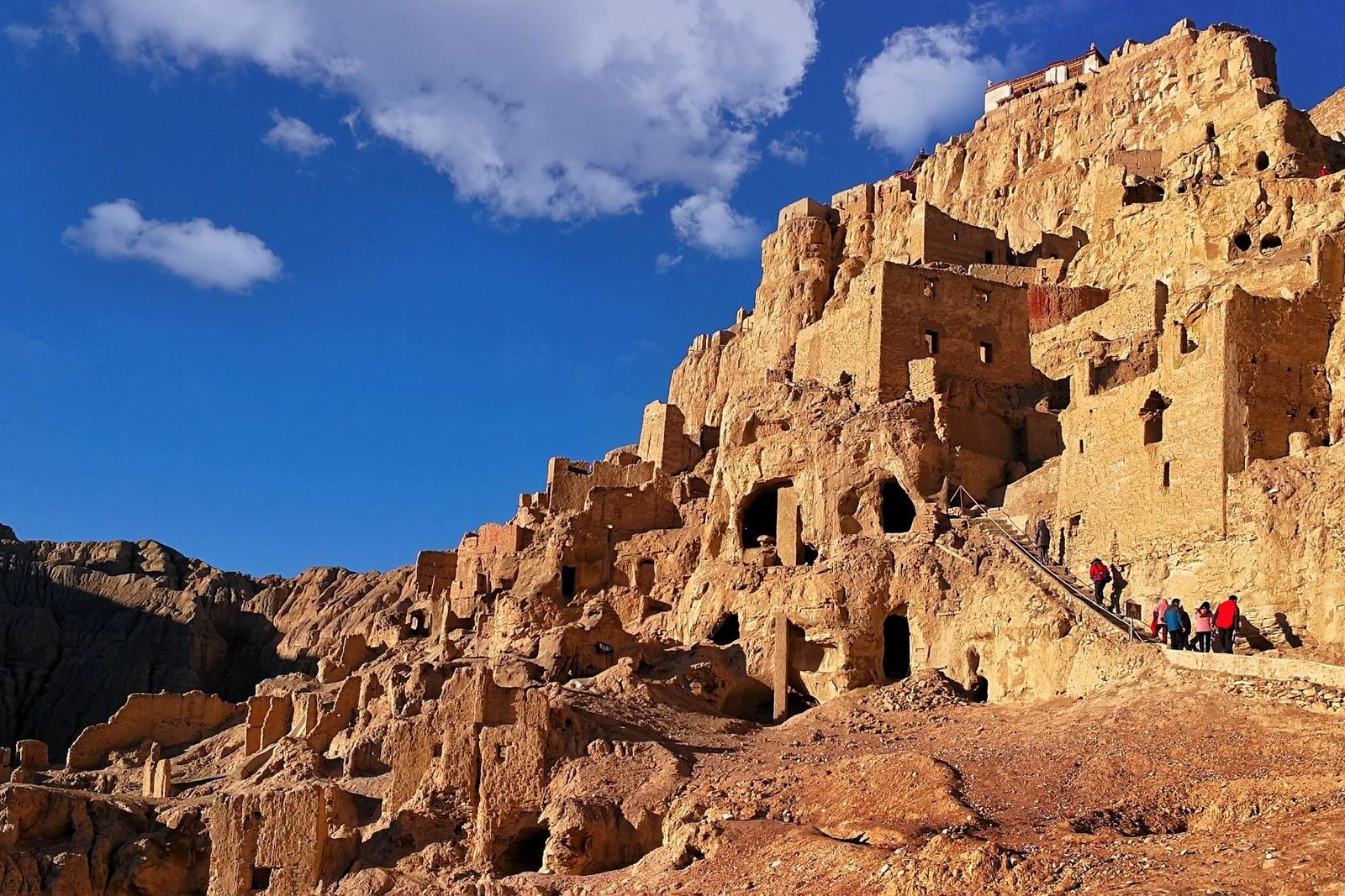
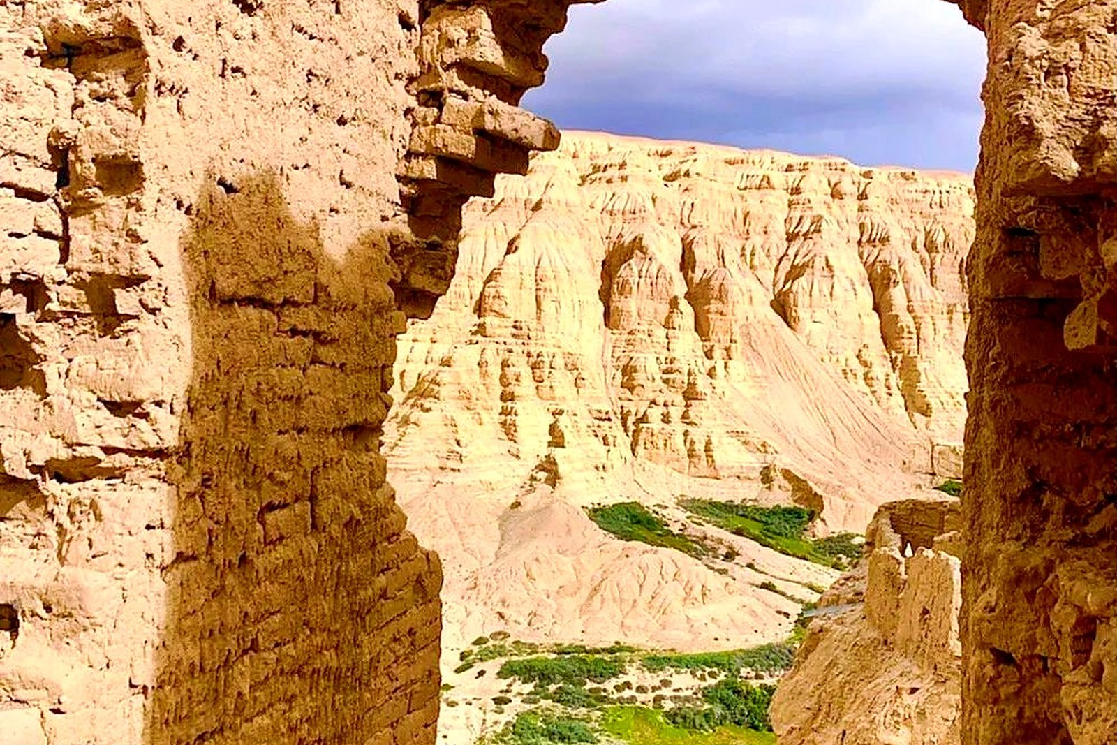
The citadel reads differently from every level. From below it is a mountain with a crown; from the terraces it is streets of doorways with no houses left; from the summit it is the whole Sutlej valley laid bare – the river’s green ribbon, the walls of the earth forest, the snow ranges of the Himalaya on the southern horizon. Cave mouths still puncture the cliff faces where monks, soldiers and the king’s stores once sat; the tunnel that once linked palace to river is still pointed out, half by legend.
Guge’s deeper story is the one the murals tell: this was where Buddhism’s second coming to the plateau was organized, where the translator-prince Yeshe O sent scholars to Kashmir and India, where the great Rinchen Zangpo worked, and where the paintings show a court at the crossroads of four civilizations. The kingdom fell, the caves emptied, and the site slept for centuries until archaeologists climbed here in modern times. Walk the citadel slowly – the finest hours are the first and last, when the low sun turns the whole hill the color of old gold.
Practicalities
- The site lies about twenty minutes west of Zanda county town by road; allow a full morning for the temples and the summit.
- The Red and White chapels are opened by caretakers with flashlights – photography rules are strict; ask before any picture.
- The summit path is steep at 3,800 meters of valley altitude; go slowly and carry water.
- Pair the visit with the Tholing monastery in town – the two foundations belonged to one religious world.
Words and Names
古格王朝遗址 Gǔgé Wángcháo Yízhǐ the Guge kingdom ruins, the dynastic citadel above the Sutlej; 红殿 Hóng Diàn the Red Chapel, the great mural hall; 白殿 Bái Diàn the White Chapel; 象泉河 Xiàngquán Hé the Sutlej, the river the citadel overlooks; 碉楼 diāolóu watchtowers, the defensive towers of the slopes. Beyond the citadel, the same 阿里地区 Ālǐ Dìqū Ngari keeps more places worth the detour: 冈仁波齐 Gāngrénbōqí the holy pyramid of Purang, 玛旁雍错 Mǎpáng Yōngcuò the great sacred lake, 札达土林 Zhádá Tǔlín the earth forest at Guge’s door, or 班公错 Bāngōng Cuò the long lake of Rutog – four more doors into the same Ngari. Once the ruins are behind you, our Ngari food map fills the table.
flowcloud would say Guge is history standing still at attention – seven centuries of a kingdom filed into one cliff of rooms. All checked November 2026.
Getting there: Drive south from Shiquanhe toward Zanda county town, then west about twenty minutes on the valley road to the site; the route descends through the earth-forest canyon to the river. Allow a full day from Shiquanhe. All checked November 2026.