
The Flaming Mountains: The Red Sandstone Ridges of the Monkey King’s Trial, the Giant Thermometer and the Hottest Walk in China in Turpan, Xinjiang
赤焰烧空八百里,金箍量得地皮温。Chìyàn shāo kōng bābǎi lǐ, jīngū liáng dé dìpí wēn – Red flame burns the sky for eight hundred li; a golden staff measures the heat of the very ground.
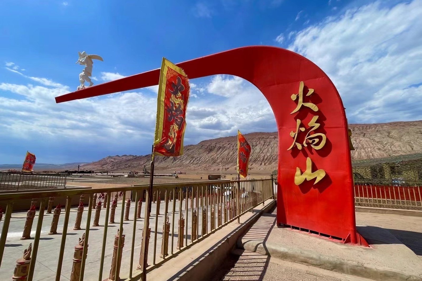
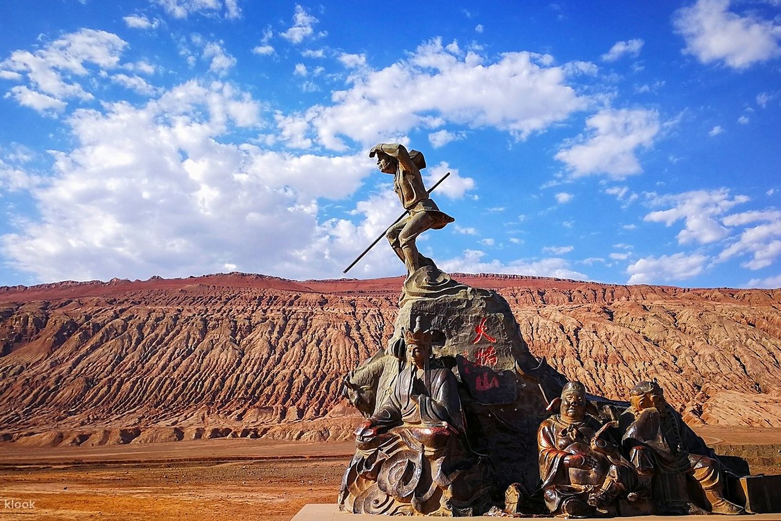
火焰山 Huǒyànshān the Flaming Mountains run for roughly a hundred kilometres along the northern rim of the 吐鲁番盆地 Tǔlǔfān Péndì Turpan Basin, a spine of oxidized red sandstone that erodes into gullies the colour of glowing coal – and in the noon glare, with heat shimmer rising off the rock, the mountain earns its name without any literary help. The scenic strip east of the city on the 312 highway is where the coach crowds stop, drawn by the giant 金箍棒 jīngūbàng golden staff thermometer that reports the ground temperature in real digits all summer (worth confirming the details for the reading extremes, which the displays log in the seventies and eighties Celsius on the fiercest days). The mountain is a 《西游记》Xīyóujì Journey to the West character in its own right – the fire that the Monkey King borrowed a fan to extinguish – and the site plays the association straight, with statues, murals and a gift trade to match. The register is spectacle and endurance: a landscape so hot that visiting it is the story.
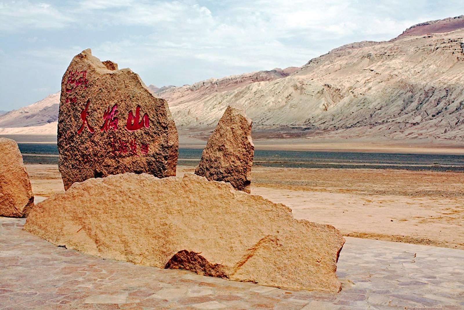
Two crowds stand at the thermometer: summer tour groups measuring the reading for the photo, and self-driving travellers along the northern road who stop at the roadside pullouts where the ridgeline flares in the low sun (worth confirming the details for the midday closures, which the hottest summer days can trigger). The stock answer in kind: the most famous mountain in Chinese fiction made visible, a temperature reading worth the trip in itself, and an hour that recalibrates your respect for every karez and vineyard in the basin below.
Call it honestly: the Flaming Mountains are a viewpoint, not a hike – the scenic strip serves a photo stop, the ridges themselves are not a walking destination in the ordinary sense, and in summer the experience is measured in minutes rather than hours (worth confirming the details for the viewing-platform hours, which follow the tourist season). What the map repays is timing rather than effort: come in the soft light of early morning or the hour before sunset, when the gullies glow instead of glare and the temperature is merely hot rather than hostile. Against that: the mountain is free-adjacent spectacle on the road between Turpan’s sights, the geological stripes photograph like brushwork, and the storybook framing – fan, monkey, monk – turns a red hill into a narrative. Stop at golden hour, bring frozen water, and let the thermometer do the performing – the mountain has been the hottest show in the region for a thousand years and needs no rehearsal.
Practicalities
Nearly everything else on this Turpan list trades a different mood on the same basin: choose 交河故城 Jiāohé Gùchéng Jiaohe Ancient City for the river-locked earth town, 高昌故城 Gāochāng Gùchéng Gaochang Ancient City for the walled ruin at the mountain’s foot, 葡萄沟 Pútáo Gōu Grape Valley for the cool gorge cut into the red and 坎儿井 Kǎn’érjǐng the Karez Wells for the water that defies the heat – four more doors into the same 吐鲁番市 Tǔlǔfān Shì Turpan City. Once the day is planned, our Turpan food map fills the eating hours.
Practicalities
Words and Names
flowcloud would say that a Flaming Mountain stop is bought for the glow and the number on the staff – red ridgeline to dusk ember in the November 2026 snapshot, all worth confirming the details – and that the honest move is to come early or late and keep the visit short, because the mountain sells exactly the heat it is made of, keep the thermometer and the golden-hour ridges as the plan, and let the shimmer remind you why the oasis below is an achievement. All checked November 2026.
Getting there: The mountains flank the 312 highway east of the city, with the big thermometer viewpoint at the roadside scenic area – buses toward Shanshan pass the gate, and taxis out of the city take half an hour or less (worth confirming the details for the midday closures, which the hottest summer days can trigger); the viewing platform faces the best stripes. All checked November 2026.