
Wheat Terraces Under the Snow Line: The Ridge Fields of Jiangbulake in Changji, Xinjiang
旱田万顷叠金黄,麦浪随风上雪冈 Hàntián wàn qǐng dié jīnhuáng, màilàng suí fēng shàng xuěgāng – Ten thousand acres of dryland fields fold into gold, and wheat waves climb the snowy ridge with the wind.
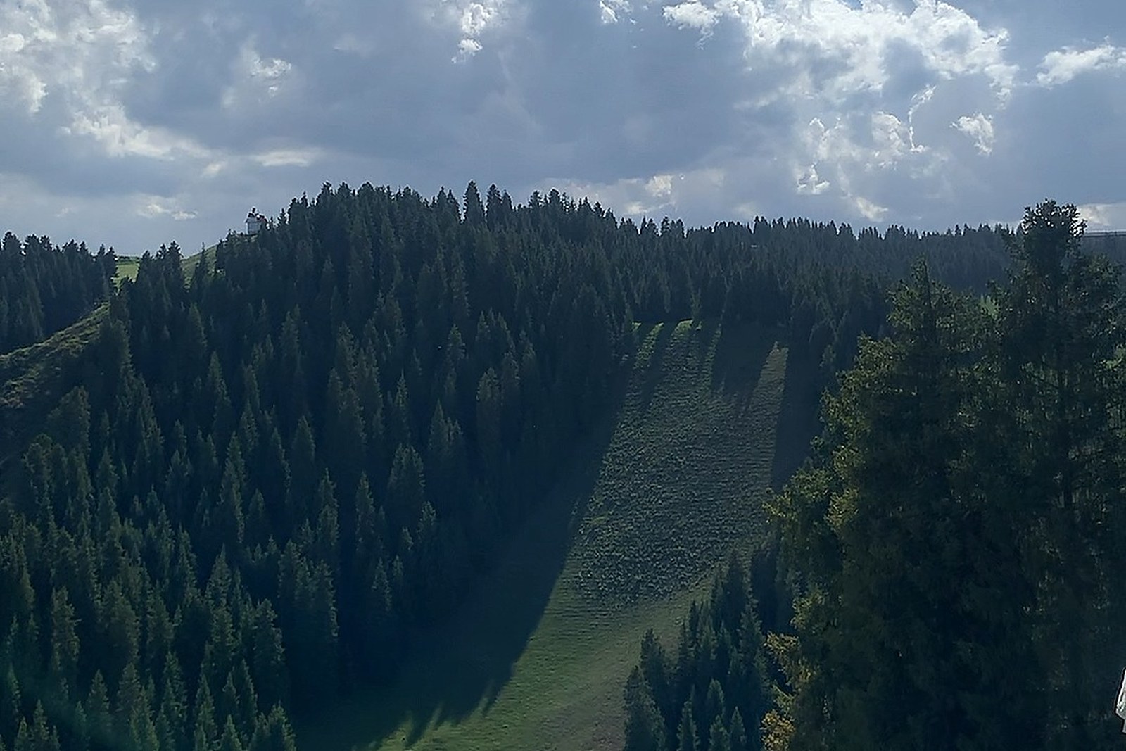
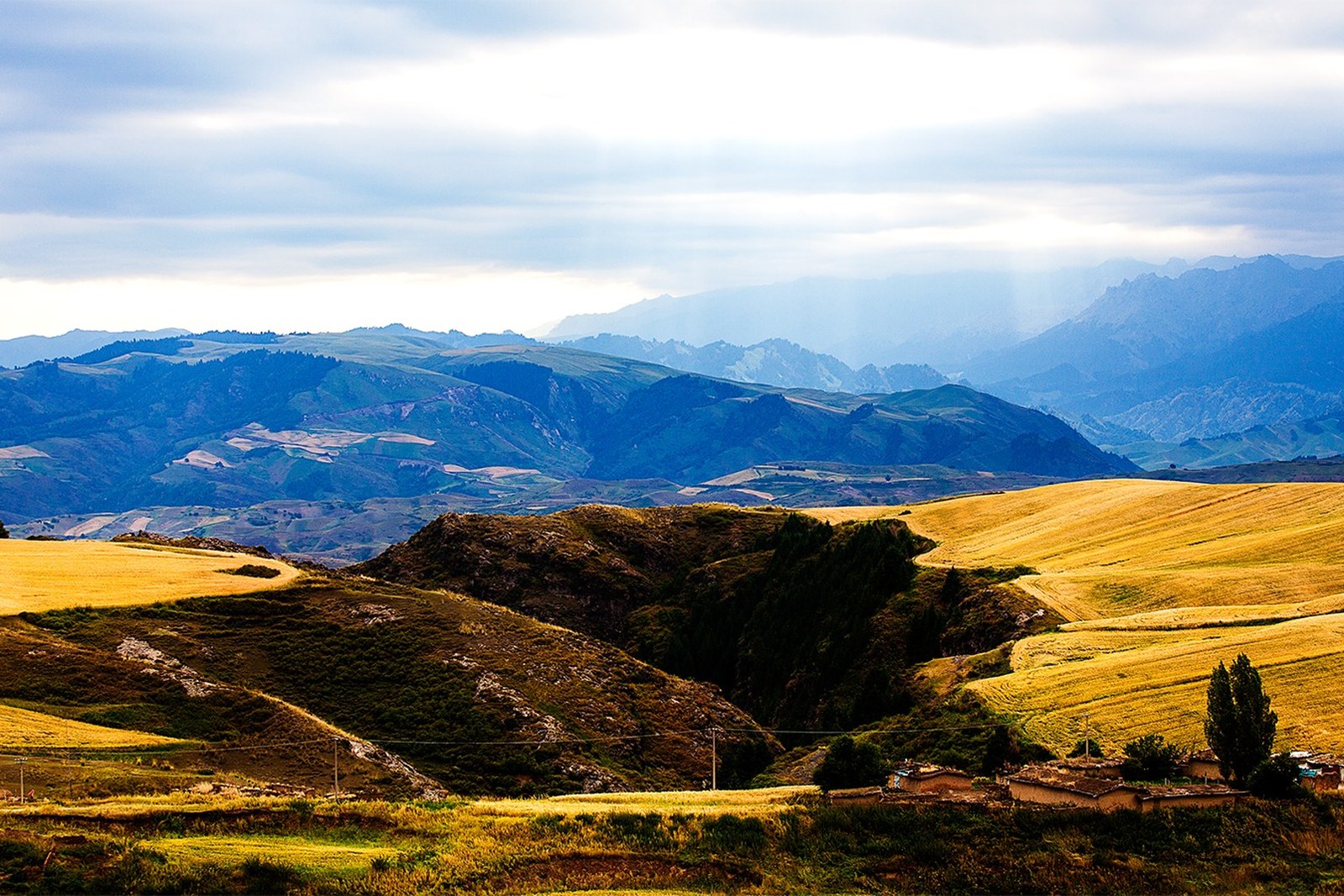
江布拉克 Jiāngbùlākè Jiangbulake spreads across the southern slopes above Qitai county, where dryland wheat terraces climb to the snow line and roll in unirrigated waves – no ditches, no pumps, only loess soil and mountain weather feeding one of the strangest beautiful farmscapes in China (worth confirming the details for the internal sightseeing-shuttle ticket that stitches the gates together). The name means holy spring, and the valley carries it well: campgrounds sit in birch meadows, a wreathed boardwalk called the sky-line runs the crest, and ancient poplar-shaded picnic groves dot the lower fields. In July the wheat patches turn from emerald to gold at different speeds, so the hillsides look quilted rather than planted.
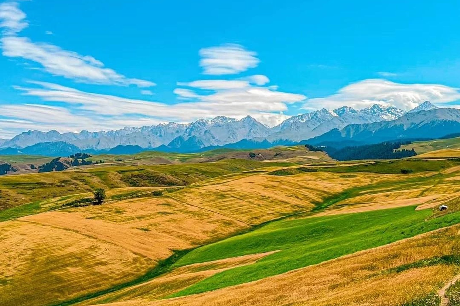
Two kinds of travellers fit here naturally. The first are photographers and campers who book the valley campgrounds and work the light – dawn mist in the wheat, noon clouds dragging shadows across the terraces, and a night sky that keeps the city’s glare far below. The second are families on the Urumqi weekend circuit who come for the cool air, the Kazakh yogurt stalls and the short boardwalk loops that even small legs can finish. The stock answer in kind: ride the shuttle to the top gate first, walk the sky-line downhill against the crowd, and end the day in a yurt with tea while the wheat changes colour.
Call it honestly: Jiangbulake is a working farm landscape wearing a scenic-area management – shuttles run to schedules, some boardwalk sections close for restoration, and the wheat is harvest equipment’s business, not yours (worth confirming the details for the post-harvest weeks, when the terraces turn stubble-brown and less photogenic). The payoff remains uncommon: a landscape made by dryland grain instead of tourism, vistas that need no telephoto, and temperatures that drop a season the moment the road climbs. Come midsummer for the quilted gold, bring a windproof layer, and eat at the Banjiegou guesthouses below the gate rather than the park cafés.
Practicalities
Nearly everything else on this Changji list trades a different mood on the same prefecture: choose 天山天池 Tiānshān Tiānchí the Heavenly Lake for glacier water and spruce, 北庭故城 Běitíng gùchéng the Beiting ruins for the Tang frontier, 奇台魔鬼城 Qítái móguǐchéng the Qitai Ghost City for wind-carved gobi, or 昌吉小吃街 Chāngjí xiǎochījiē the Changji food street for the prefecture’s longest menu – four more doors into the same 昌吉回族自治州 Chāngjí Huízú Zìzhìzhōu Changji Hui Autonomous Prefecture. Once the day is planned, our Changji food map fills the eating hours.
Practicalities
Words and Names
flowcloud would say Jiangbulake is the prefecture’s slow heartbeat: wheat instead of ticket booths, weather instead of schedules, and a wind that combs the hills while you decide nothing at all. All checked November 2026.
Getting there: The park gates sit above Banjiegou town, reached by a paved county road from Qitai city (worth confirming the details for the internal sightseeing-shuttle ticket); the ridge boardwalk and the wheat terraces are best walked in the two hours after opening, before the coaches arrive. All checked November 2026.