
解放碑 Jiěfàngbēi, Jiefangbei, the People’s Liberation Monument, stands where 邹容路 Zōuróng Lù, Zourong Road, 民权路 Mínquán Lù, Minquan Road and 民族路 Mínzú Lù, Minzu Road cross, in the centre of 渝中区 Yúzhōng Qū, Yuzhong District. Chongqing is a municipality of southwest China, and Yuzhong is its central district, the mother city on the peninsula where the Yangtze meets the Jialing River; this crossing is the middle of that middle. In published answers to the district people’s congress, the district government describes the column as China’s only monument commemorating victory in the War of Resistance and as the landmark building of Chongqing. Yet the name it carries today is only the last of three: raised in wood in 1941, rebuilt in stone by 1947, renamed in 1950, and since 1997 the anchor of the pedestrian street laid out around it.
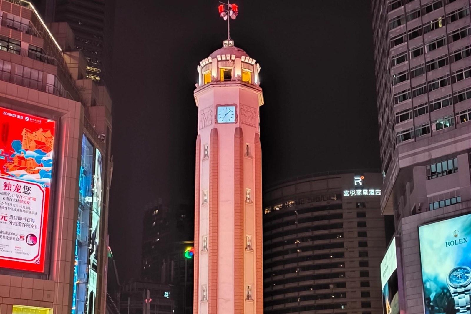
The dates are all on the civic record. Planning began on 12 March 1940, and on 30 December 1941 a wooden tower named 精神堡垒 Jīngshén Bǎolěi, the Spiritual Fortress, was completed to steady public morale in the wartime years. After Japan’s surrender in 1945 the city resolved to build a permanent memorial on the same spot: the Victory Memorial, 抗战胜利纪功碑, completed in 1947 – accounts agree on the year and differ on the month, so the year is the honest figure. On 7 July 1950 the municipal government announced the third name, 人民解放纪念碑, the Monument to the People’s Liberation, inscribed on 1 October in the hand of Liu Bocheng; the public shortened it at once to Jiefangbei. The protection record layers the same way: a provincial listing in 1991, the first municipal batch of 2000 after Chongqing became a directly administered municipality, and the seventh batch of national key protected sites in March 2013.
The building itself repays a close look, because 27.5 metres is doing a great deal of work. By most accounts – reference compilations that agree with the official letters, best read as close rather than exact – it is an octagonal column with a helmet-shaped cap in reinforced concrete, 27.5 metres tall with sides 2.55 metres across, its interior and base forming eight levels joined by a spiral stair to the top, where clocks face the four streets and chime on the hour. The pedestal covers 62 square metres inside a protected zone of 642, the main face turned slightly north of east. The shaft itself is not open to visitors – no public notice of any arrangement for entering it exists – so the monument is read from below: a clock to hear, a silhouette to steer by, the fixed point by which the whole district gives directions.
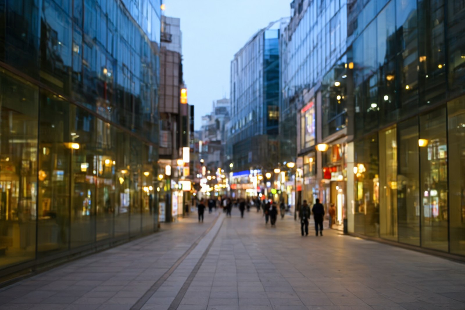
The street carries a first of its own. In 1997 the city and district governments invested some 30 million yuan in closing the roads at the crossing to traffic, and the 22,400 square metres centred on the monument became what is widely credited as China’s first modern commercial pedestrian shopping street; by 2001 the paving had grown to 36,000 square metres, taking in the middle of 八一路 Bāyī Lù, Bayi Road. In 2020 the Ministry of Commerce named it a national demonstration pedestrian street; the crossing is now the core of the city’s central business district. Hongya Cave, a short walk down toward the Jialing bank, is the cliff-side stack of stilt-house fronts whose form belongs to another article on this site – Jiefangbei, by contrast, is a monument around which a whole city learned to shop.
The way to spend time here is a habit rather than a queue: read the column, listen for the hour, then join the street – Bayi Road’s food lane begins a block over, the towers hold the view, the stone holds the centre. Come in the early evening, when the towers light up, or on a weekday morning, when the square belongs to commuters. On major holidays, and above all on New Year’s Eve, the square is extremely crowded and the police may control access, which locals treat as part of the calendar. Whatever the hour, the column does what it has done since 1941: it holds still while everything else on the peninsula is rebuilt around it.
Practicalities
Tickets. There is no ticket: the monument stands in the middle of an open pedestrian street with no fence, no gate and no admission charge. The shaft itself is not open to visitors; no public arrangement for entering it exists. As of October 2026, subject to change.
Opening hours. The crossing is a public space open around the clock and the monument can be seen at any hour; the clocks at the top chime on the hour. The shops keep roughly mid-morning to late-evening hours, and the square is at its best after dark.
Closing day. There is no fixed closing day. The one routine exception is crowd control rather than closure: during major holidays and New Year’s Eve the core area becomes extremely crowded and police may restrict access, so check local notices on the biggest dates.
Getting there. Metro line 2 to 临江门 Línjiāngmén, Linjiangmen, or lines 1 and 2 to 较场口 Jiàochǎngkǒu, Jiaochangkou, both an easy walk from the crossing. From the monument it is about fifteen minutes on foot toward Xinhua Road to the north station of the Yangtze River Cableway.
flowcloud would say that Jiefangbei is one column that has held three names and kept its crossroads through every era that tried to rename it, and that the surest way to read a city is to find the thing in the middle that has never been rebuilt.
Getting there: Jiefangbei, the People’s Liberation Monument, stands at the crossing of Zourong, Minquan and Minzu roads in Yuzhong District, Chongqing, a municipality of southwest China whose central district occupies the peninsula where the Yangtze meets the Jialing River; raised in wood as the Spiritual Fortress in 1941, completed in stone as the Victory Memorial in 1947 and renamed in 1950, it has been a national key protected site since 2013 and is free to see at all hours with no fixed closing day; the 1997 street around it is widely credited as China’s first modern pedestrian shopping street; arrive by metro line 2 to Linjiangmen or lines 1 and 2 to Jiaochangkou (checked October 2026, subject to change).