
The Roof of Tianjin: Jiushanding
京东第一峰头立,一脚踏两省市云 Jīngdōng dì yī fēng tóu lì, yī jiǎo tà liǎng shěng shì yún – Stand on the first peak east of the capital; one step touches the clouds of two provinces
九山顶 Jiǔshāndǐng tops out at 1,078.5 meters in 天津市蓟州区 Tiānjīn Shì Jìzhōu Qū Jizhou District – the highest point in all of Tianjin, a summit ridge on the city’s mountain border where the trailhead villages run homestays and the climb itself runs through oak woods, old quarry paths and chestnut terraces. The peak’s fame is modest and local, which is precisely its charm: this is the mountain Tianjin’s hikers claim, not the one tour buses circle.
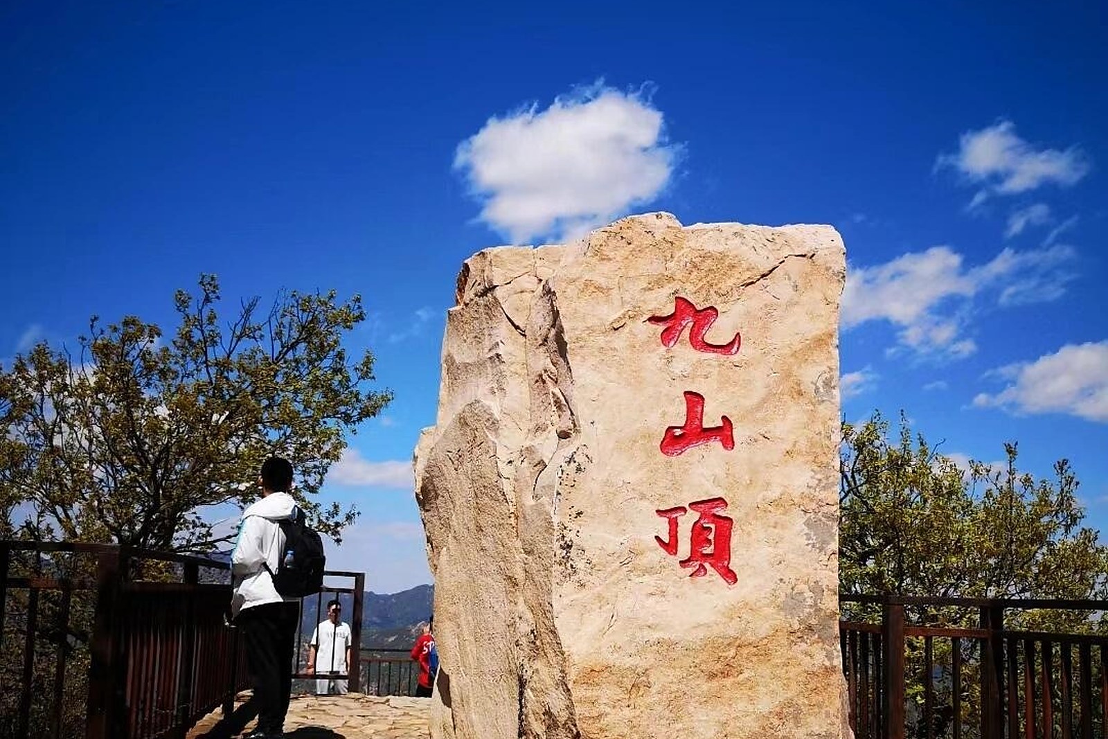
The climb is honest. From the valley hamlet the trail stairs up through shaded forest, crosses the saddle by a radio mast, and makes the last ridge on open stone – about two hours up for a steady walker. The border line runs along the top, so the summit photos come with one foot nominally in Hebei and one in Tianjin.
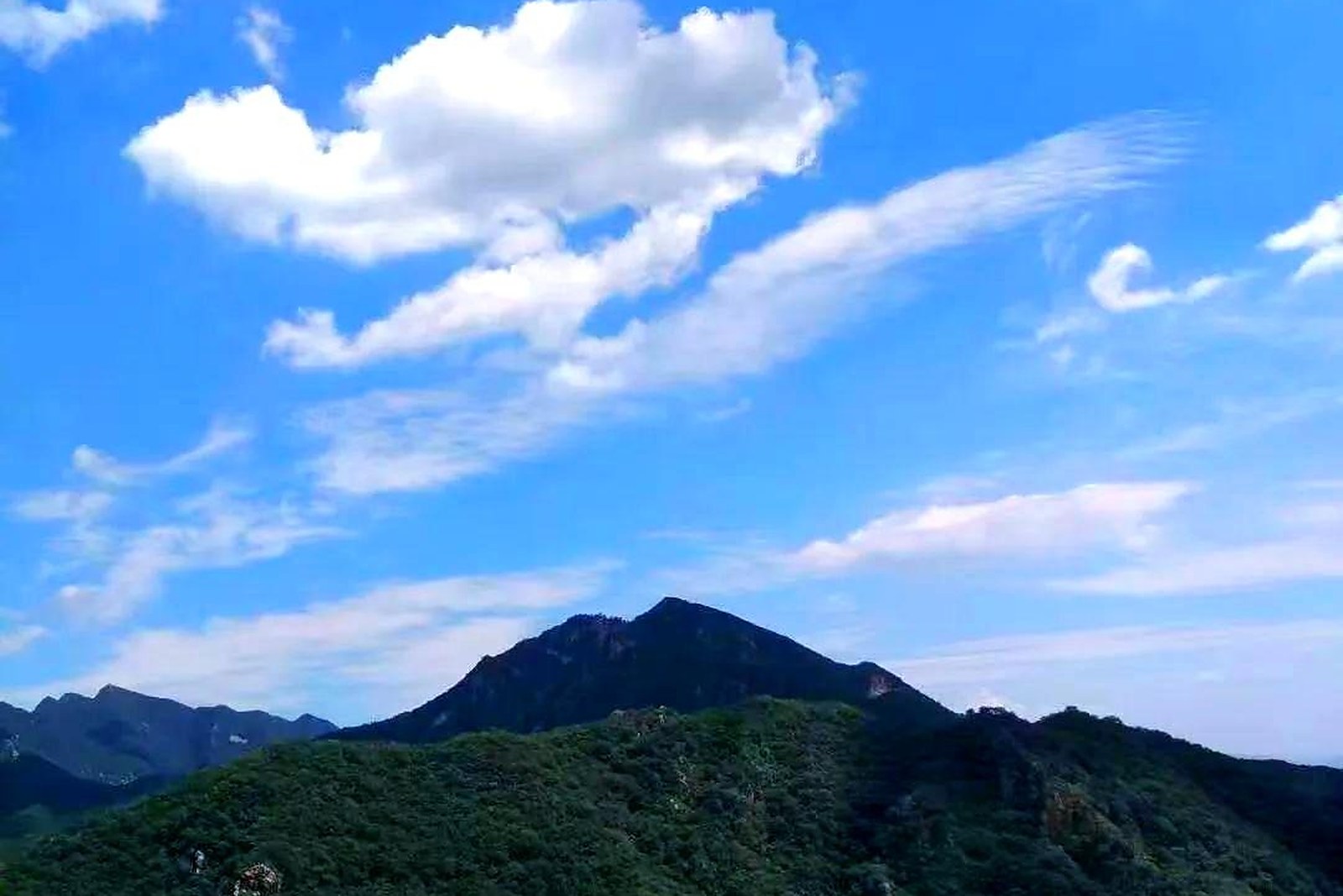
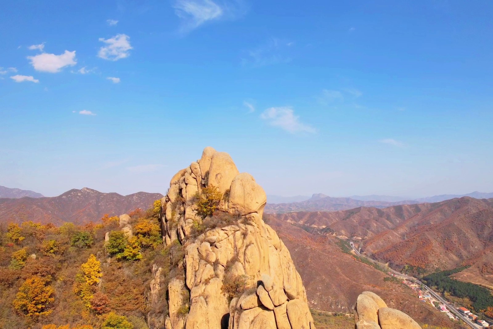
The ridge view is the reward. On clear days the gaze runs north to the wall line, east over the reservoir plain, and down onto the fold of green valleys that hold Jizhou’s farmhouse villages; morning inversion seas fill the valleys like spilled milk on cold autumn starts. The peak’s board explains the geology – the same quartz ridge country as the gorge parks, seen from the top instead of the bottom.
The village at the foot closes the day. Homestay courtyards steam dinner when the descent lands, chestnut groves line the lower path, and the quiet – no cable car, no glass walkway – is the whole point of the climb. Bring layers: the ridge runs ten degrees cooler than the plain, and the wind is a resident.
Practicalities
- The full round trip is four to five hours on foot; there is no cable car – that is the appeal.
- Start by nine in summer for the shade, and pack a wind layer even in July.
- Village homestays at the trailhead take dinner bookings; eat before descending if late.
- The last road stretch to the hamlet is narrow single-lane – drive it slow.
Words and Names
九山顶 Jiǔshāndǐng Jiushanding, the nine-summit ridge; 海拔 hǎibá elevation above sea level; 山脊 shānjǐ the ridge line; 界碑 jièbēi the boundary marker on the crest; 农家院 nóngjiāyuàn the farmhouse lodge at the trailhead. Beyond the peak, the same 天津市蓟州区 Tiānjīn Shì Jìzhōu Qū Jizhou District keeps more places worth the detour: 盘山 Pán Shān the emperor-counted mountain, 黄崖关长城 Huángyáguān Chángchéng the Great Wall’s Jizhou pass, 独乐寺 Dúlè Sì the Liao-dynasty temple, or 梨木台 Límùtái the quartz gorge – four more doors into the same Jizhou District. Once the ridge is behind you, our Jizhou food map fills the table.
flowcloud would say Jiushanding is the city’s roof kept humble: a real stair of a climb, a border-line summit, and a village dinner waiting at the bottom. All checked November 2026.
Getting there: The trailhead hamlet sits beyond Xiaying town – drive about fifty minutes from Jizhou’s seat on the wall-valley road, then the narrow single-lane lane up; village parking sits by the homestay row, and the round-trip climb runs four to five hours on foot. All checked November 2026.