
The Plateau’s Earliest Village: Karuo Site
卡若村头四千年,粟米陶纹证先民 Kǎruò cūntóu sì qiān nián, sùmǐ táowén zhèng xiānmín – Four thousand years by Karuo village; millet grain and pottery patterns testify to the first settlers
卡若遗址 Kǎruò Yízhǐ Karuo Site, in the village of the same name about twelve kilometers south of 西藏自治区昌都市 Xīzàng Zìzhìqū Chāngdū Shì Chamdo, is one of the highest-profile Neolithic settlements on the plateau: a riverside terrace village occupied roughly four to five thousand years ago, excavated in 1978-79 and now protected as a national heritage site. The find reshaped ideas about early life on the Qinghai-Xizang Plateau – farming villages stood in the upper Lancang valley long before written records began.
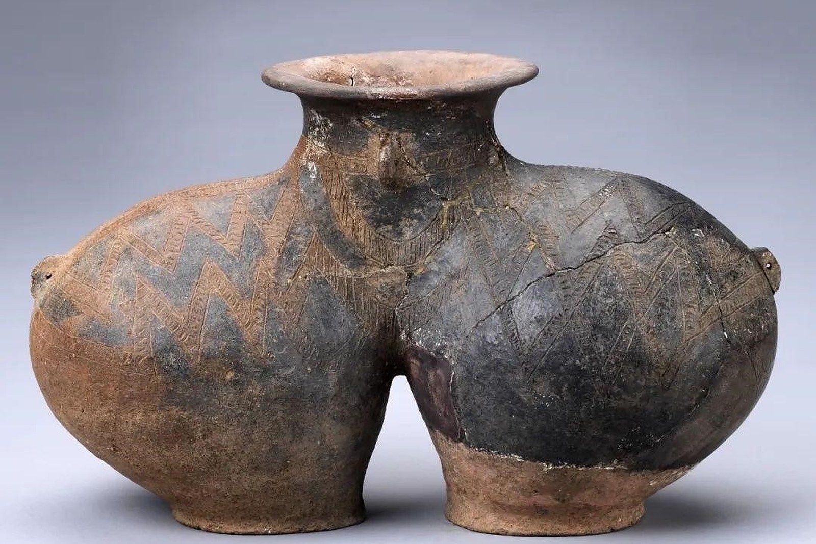
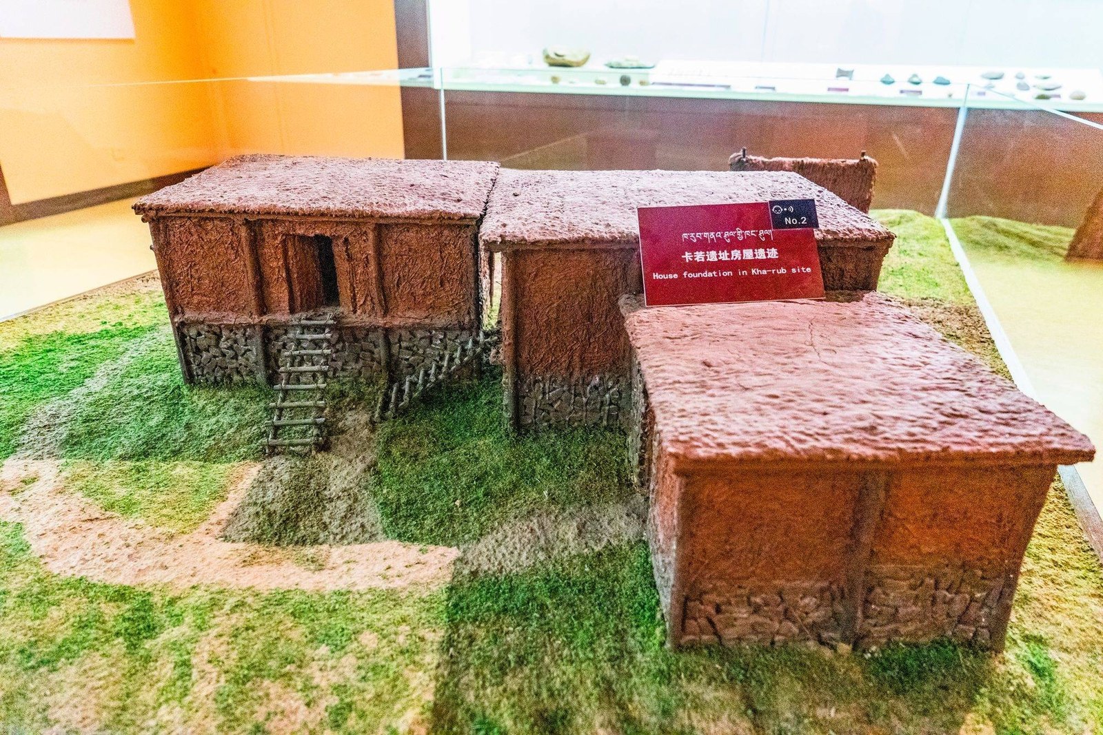
The excavations told a detailed story. Archaeologists uncovered the stone footings of clustered houses – thirty-one building foundations in all, part of them post-and-plank structures raised above ground – together with polished stone tools, bone implements, pottery painted with geometric designs, and the grains of 粟米 sùmǐ millet that prove highland agriculture on a scale nobody had guessed. Animal bones point to herding and hunting beside the crops, and the settlement’s size marks Karuo as a true village, not a camp.
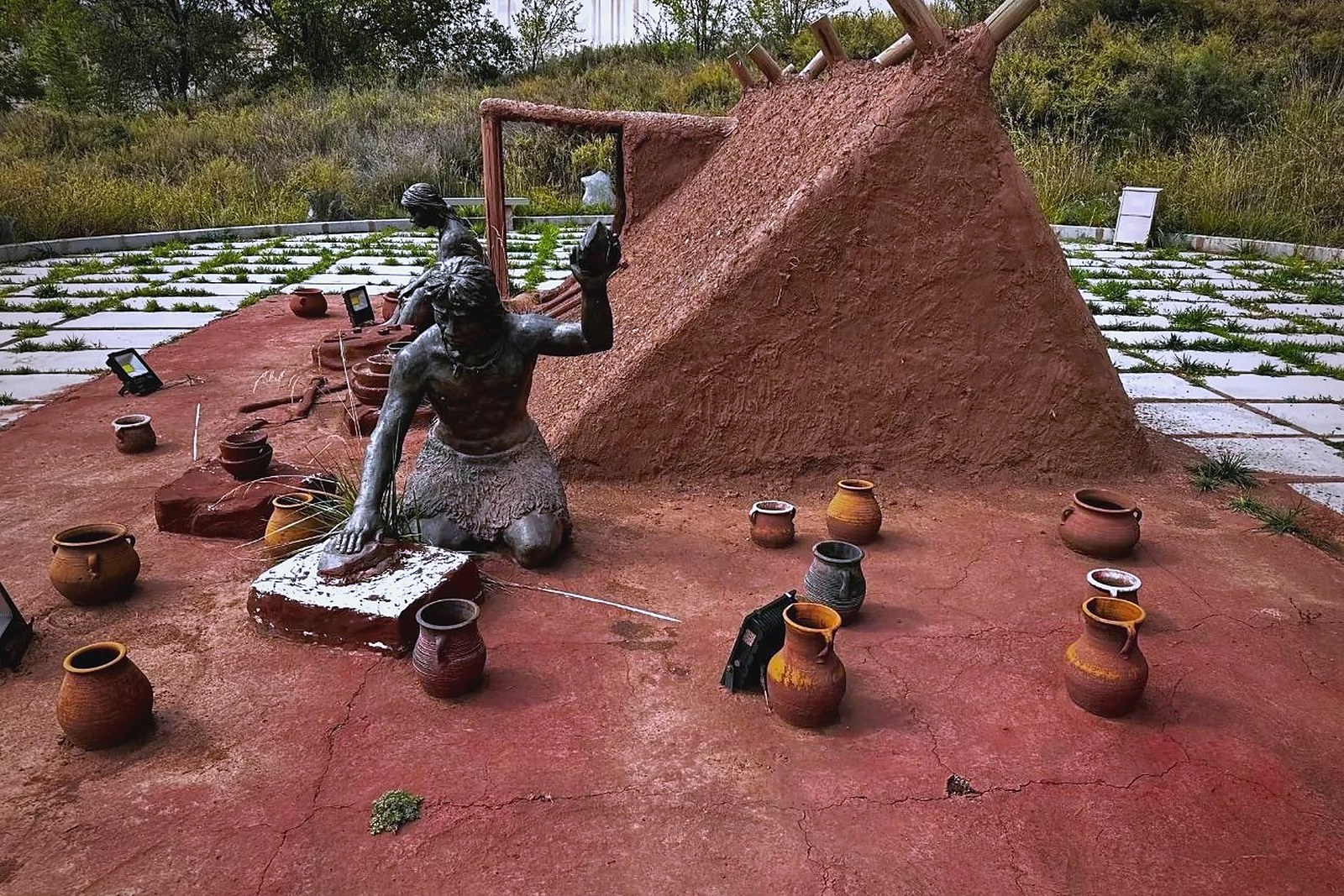
The site today is quiet farmland under broad skies. A small museum by the excavation terraces displays the finds in sequence – the pottery, the tools, the reconstructions of the houses – and outside, the low walls mark where the village stood above the river meadow. The walk between exhibition and excavation ground follows the riverside, and the setting makes the age of the place concrete: the same sky, the same water, five millennia apart.
What Karuo really marks is the plateau’s own deep history. The village sat on one of the natural corridors between the lowlands and the Tibetan interior, and its millet links the upper Lancang to the early farming cultures of the Yellow River basin – evidence that the plateau was never a sealed world. For a traveller bound for the monasteries and lakes, Karuo is the first chapter: the human story at Chamdo begins here, four thousand years before the first gold roof went up.
Practicalities
- The site lies about 12 kilometers south of the city on the G214 toward Lanwen; a taxi makes the round trip in under an hour.
- The site museum keeps daytime hours; pair the visit with the riverside walk on the same afternoon.
- Exhibits are labelled in Chinese and Tibetan – allow an hour for the small hall.
- The excavation terraces are open ground: wear grippy shoes and keep to the marked paths.
Words and Names
卡若遗址 Kǎruò Yízhǐ Karuo Site, the Neolithic village by the Lancang; 卡若文化 Kǎruò Wénhuà the Karuo culture named from the site; 粟米 sùmǐ millet, the grain that proves highland farming; 新石器时代 xīnshíqì shídài the Neolithic era; 全国重点文物保护单位 quánguó zhòngdiǎn wénwù bǎohù dānwèi national key heritage site; 澜沧江 Láncāng Jiāng the Lancang River, the site’s waterway. Beyond the village of the first settlers, the same 西藏自治区昌都市 Xīzàng Zìzhìqū Chāngdū Shì Chamdo keeps more places worth the detour: 强巴林寺 Qiángbālín Sì the gold-roofed Gelug monastery above two rivers, 孜珠寺 Zīzhū Sì the Bon monastery on its six peaks, 然乌湖 Ránwū Hú the glacier lake on the G318, or 盐井古盐田 Yánjǐng Gǔ Yántián the ancient salt terraces of the Lancang – four more doors into the same Chamdo. Once the museum is behind you, our Chamdo food map fills the table.
flowcloud would say Karuo is the city’s oldest address: before the monasteries and the caravan roads, someone planted millet by this river and stayed – and the plateau’s story starts in their kitchen midden. All checked November 2026.
Getting there: The site lies about 12 kilometers south of the city on the G214 toward Lanwen; a taxi makes the round trip in under an hour, and the site museum keeps daytime hours. Combine it with a riverside walk on the same afternoon. All checked November 2026.