
The River That Made the Pear City: the Kongque River Belt at Tiemenguan
一河雪水出天山,两岸梨香入夜阑 Yī hé xuěshuǐ chū Tiānshān, liǎng’àn líxiāng rù yèlán – A river of snowmelt comes down from the Tianshan; pear fragrance settles along its banks as the night comes on
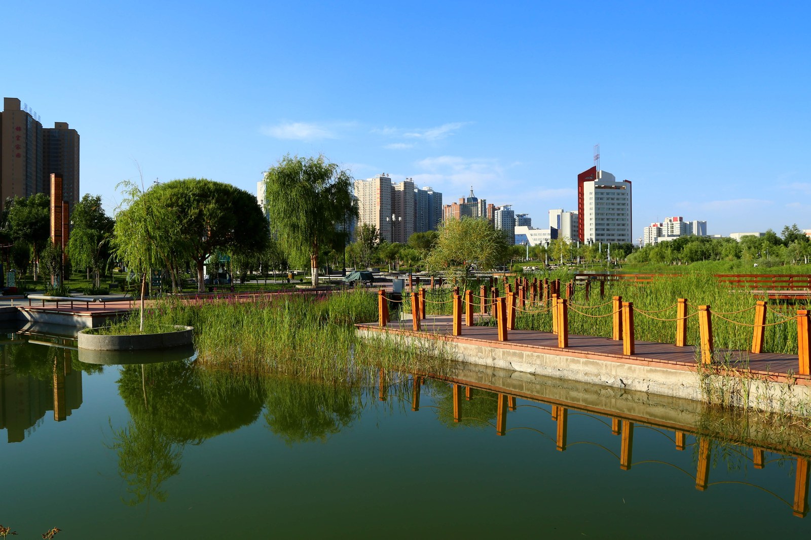
正文:孔雀河风景带 Kǒngquè Hé Fēngjǐngdài the Kongque River Belt is the green spine of the Korla-Tiemenguan twin cities – the Peacock River comes down out of the Iron Gate gorge, threads the whole urban area in willows and poplar promenades, and gives this desert corner its name-claim: a pear city that lives on snowmelt. The walkable belt runs for kilometers through both cities, fountains to footbridges, and on any fine evening it carries the whole population – strollers, skaters, anglers, and in winter the famous whooper swans that overwinter on the open water.
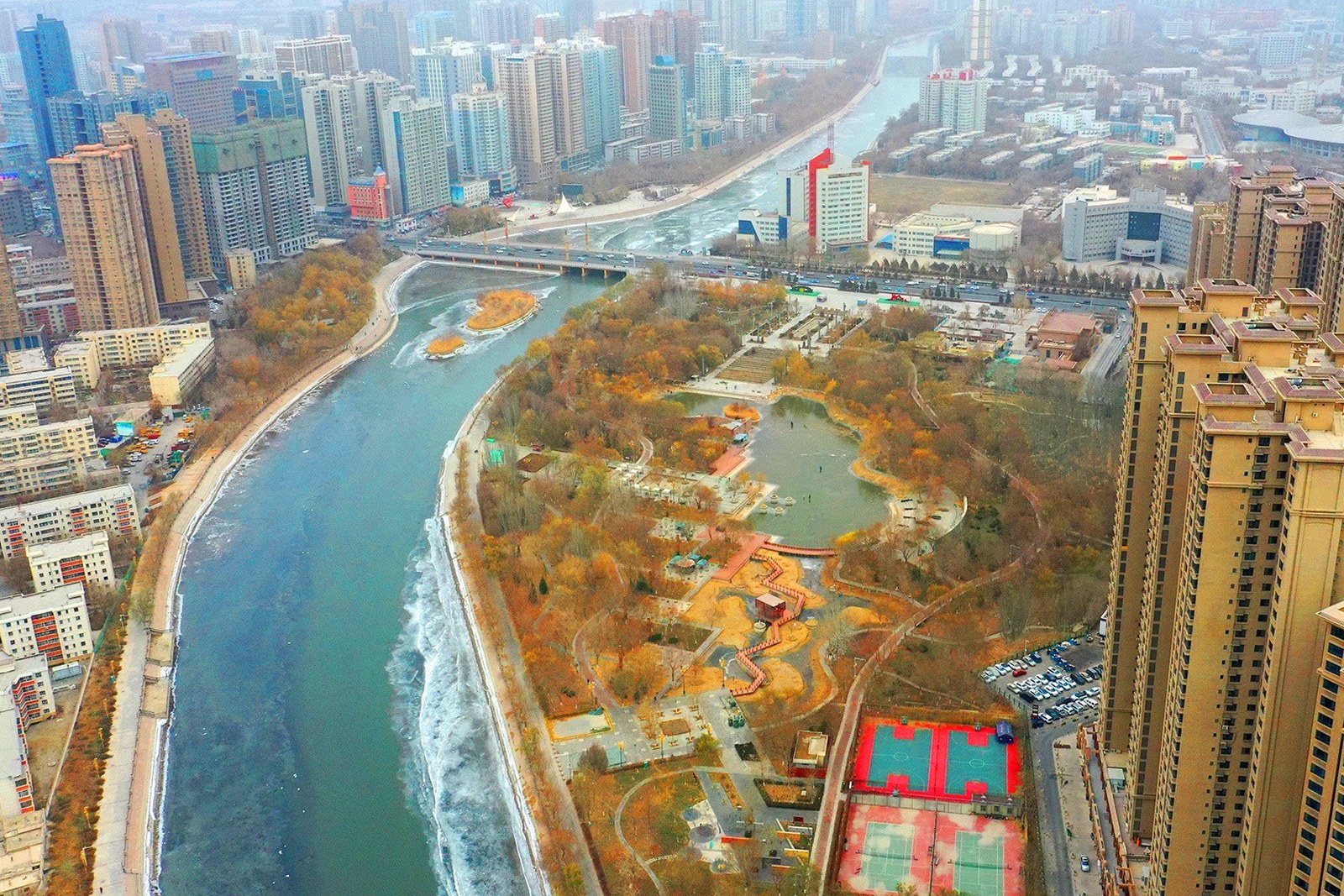
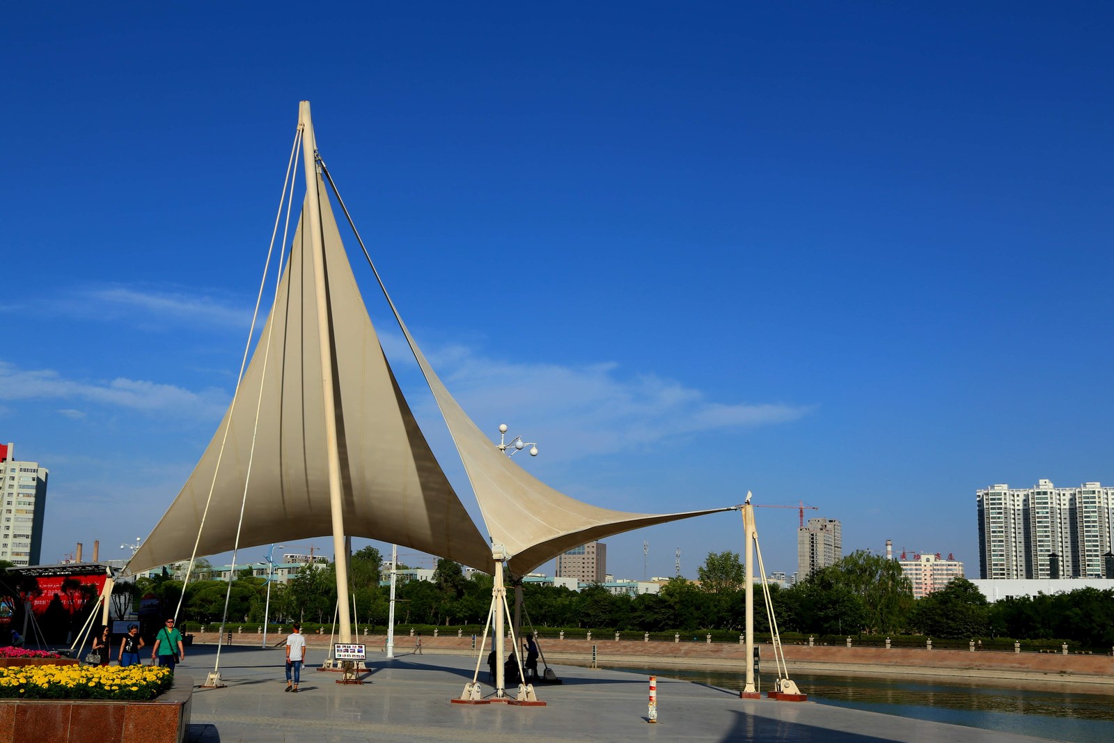
The river’s geography is the story. It escapes the mountains through the Tiemenguan gorge – the “Iron Gate Pass” that gave the young bingtuan city its name – spreads across the oasis in braided channels, and historically fed the pear orchards and farms that made Korla rich. Today the urban reach is engineered for people: stone embankments, stepped waterside plazas, paddle craft in summer, and the sail-canopy plaza that has become the walk’s signature silhouette against the water.
The swans are the winter spectacle. From November the whooper swans that breed on Siberian lakes settle on the open urban water, and the cities treat them as residents – feeding crews, plywood winter shelters on the shallows, and a riverside crowd every morning with cameras and bread crusts. A river at the desert’s edge that grows a wildfowl season is the oasis argument at its most photogenic.
Walk it at dusk for the full effect. The fountains run after sunset in the warm months, the bridge lines light up one by one, and the water takes the last copper light while the desert hills beyond town go violet. Food streets open along the banks, the evening squares fill with dancers, and the whole belt becomes what it is for locals – the longest, greenest living room in southern Xinjiang.
Practicalities
Beyond the river, the same 铁门关市 Tiěménguān Shì Tiemenguan City keeps more places worth the detour: 香梨园 Xiānglí Yuán the fragrant-pear orchards for the September harvest, 棉田 Mián Tián the cotton fields for the great white season, 铁门关城市公园 Tiěménguān Chéngshì Gōngyuán the city parks for the evening squares, or 铁门关新城 Tiěménguān Xīnchéng the new city for the planned-grid streets – four more doors into the same 铁门关市 Tiěménguān Shì Tiemenguan City. Once the river is walked, our Tiemenguan food map fills the day.
Practicalities
Words and Names
flowcloud would say the Kongque River belt is the oasis contract made walkable: snowmelt off the Tianshan turned into willows, fountains and swan water, and a desert city that measures its wealth in riverbank meters. All checked November 2026.
Getting there: The riverfront runs along the shared Korla-Tiemenguan urban area; from Korla railway station it is 15 minutes by taxi and the walkways are flat and stroller-friendly – go at dusk when the fountains start. All checked November 2026.