
The Flat Ocean of Grass: Kurustai’s Wet Meadow Sea in the Tacheng Basin
平川百里草如潮,额敏河弯雁影遥 Píngchuān bǎilǐ cǎo rú cháo, Émǐn hé wān yàn yǐng yáo – A hundred li of plain where grass runs like tide; along the Emin river’s bends, wild geese pass far off.
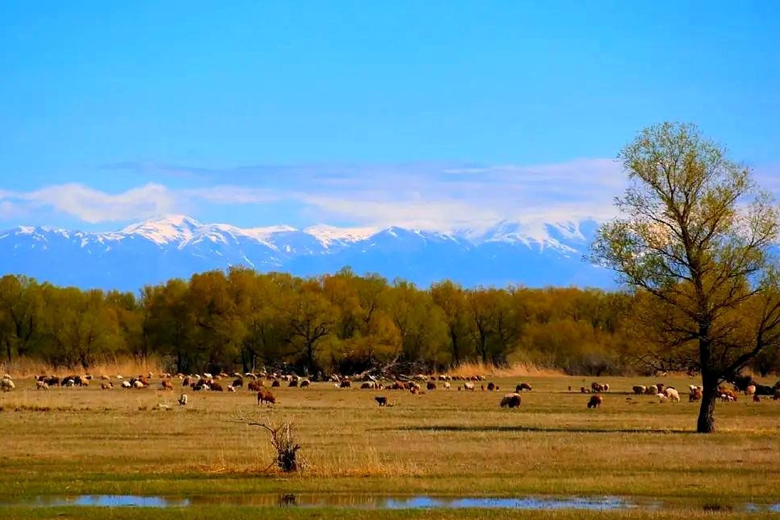
库鲁斯台草原 Kùlúsītái Cǎoyuán the Kurustai grassland fills the floor of the Tacheng basin – one of China’s largest flat meadow steppes, a hundred-plus kilometres of tree-dotted wet grassland watered by the 额敏河 Émǐn hé Emin river and its fan of channels (worth confirming the details for the wetland season, since spring brings waterbirds and flooding grass, while autumn dries the plain to gold). This is grassland without walls: no ticket gates, no cable cars, just grazing cattle, herder tracks and a horizon so level that the mountains read as a drawn line.
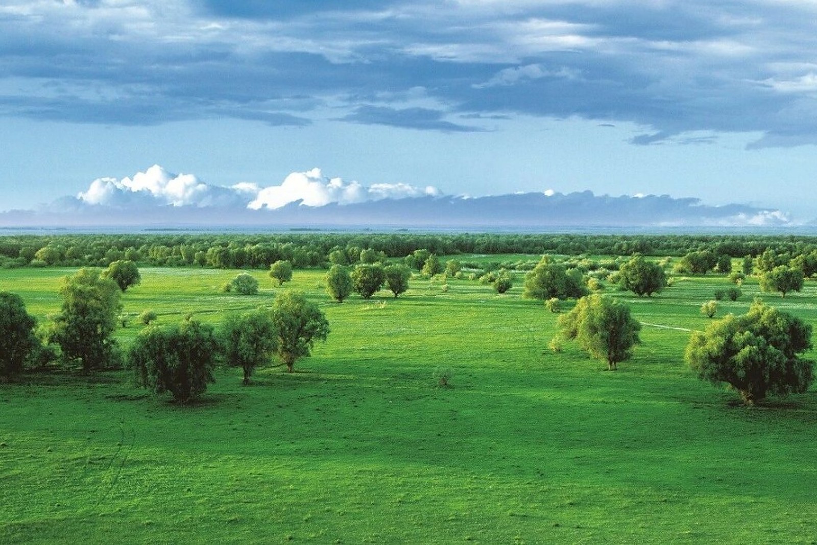
Two plans cover the plain. The first is the drive-through: the highways between Tacheng city, Emin and Yumin all skirt the meadow, and any side track toward the river channels brings you into cattle country within minutes. The second is the slow plan – arrive in late May when the water stands in the hollows, walk the willow groves and watch the geese lift off at dusk, or come at haying time in August when the whole plain smells of cut grass. The stock answer in kind: pick a river bend, park off the track, and let the flatness do its work.
Call it honestly: Kurustai is a place to pass through slowly rather than a destination with a gate photo (worth confirming the details for the wetland protection zones, which close some channels to vehicles in spring). What repays the detour is the mood – the biggest sky in the prefecture, weather you can watch arriving for an hour, and the sense that the grass really does move like water when the wind crosses it.
Practicalities
Nearly everything else on this Tacheng list trades a different mood on the same prefecture: choose 安集海大峡谷 Ānjíhǎi Dàxiágǔ the Anjihai Grand Canyon for the red strata, 塔城红楼 Tǎchéng Hónglóu the Tacheng Red Mansion for the trade-era brick, 巴尔鲁克山 Bā’ěrlǔkè Shān the Barluk mountains for the bloom slopes, or 江格尔文化城 Jiānggé’ěr Wénhuà Chéng the Janger Culture City for the epic halls – four more doors into the same 塔城地区 Tǎchéng Dìqū Tacheng Prefecture. Once the drive is planned, our Tacheng food map fills the eating hours.
Practicalities
Words and Names
flowcloud would say Kurustai is the basin’s slow heartbeat: grass instead of buildings, rivers instead of streets, and the geese keeping the only timetable. All checked November 2026.
Getting there: The meadow begins at the edges of Tacheng city and runs east toward Emin county on basin highways; any fuel stop works as a trailhead, side roads are passable in dry weather, and the river channels are reached on graded tracks to the riverside villages. All checked November 2026.