
Lake Manasarovar — the Sweet Water of the Highest Shrine
圣湖一碧纳木那尼,八功德水洗尘心 Shènghú yī bì Nàmùnàní, bā gōngdé shuǐ xǐ chénxīn – The holy lake lies blue beneath Gurla Mandhata; its water of eight virtues washes the dusty heart
玛旁雍错 Mǎpáng Yōngcuò Lake Manasarovar spreads at about 4,588 meters across the basin south of Mount Kailash – one of the highest freshwater lakes on earth, and by the telling of pilgrims the holiest water of them all. Tradition says its waters were born of the mind of Brahma; Sanskrit and Tibetan sources alike have praised the lake for well over a thousand years, and Indian pilgrims still travel across the Himalaya to bathe in it. The water is famously clear – visibility measured in many meters – and its circle of roughly ninety kilometers passes meadows, beaches and meditation caves that have held hermits since the age of the translators.
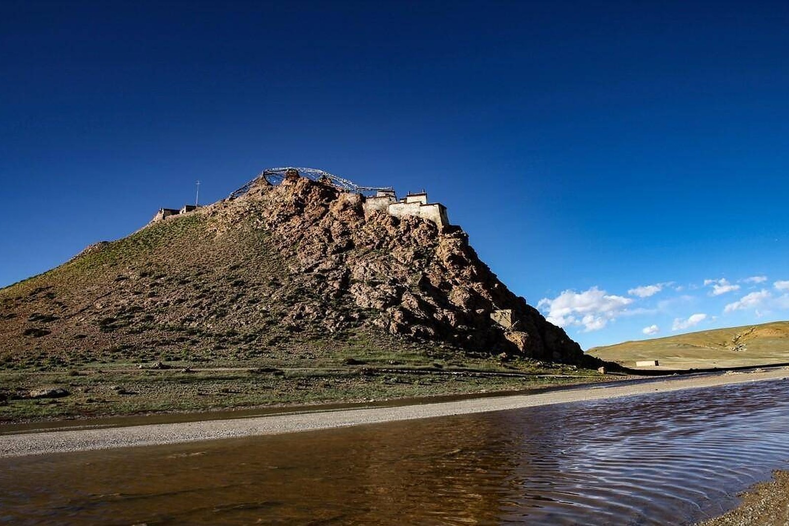
The lake’s great backdrop is 纳木那尼峰 Nàmùnàní Fēng Gurla Mandhata, the 7,694-meter massif of the western Himalaya that rises straight from the southern shore; on still mornings the whole peak stands doubled in the water. On the northwestern shore a small hill carries 吉乌寺 Jíwū Sì Chiu monastery, its white walls and meditation caves overlooking the beach where pilgrims camp and prayer flags run down to the waterline. The view from the ridge – lake, snow mountain, shoreline of flags – is the classic photograph of the far west, and it takes nothing but standing there to earn it.
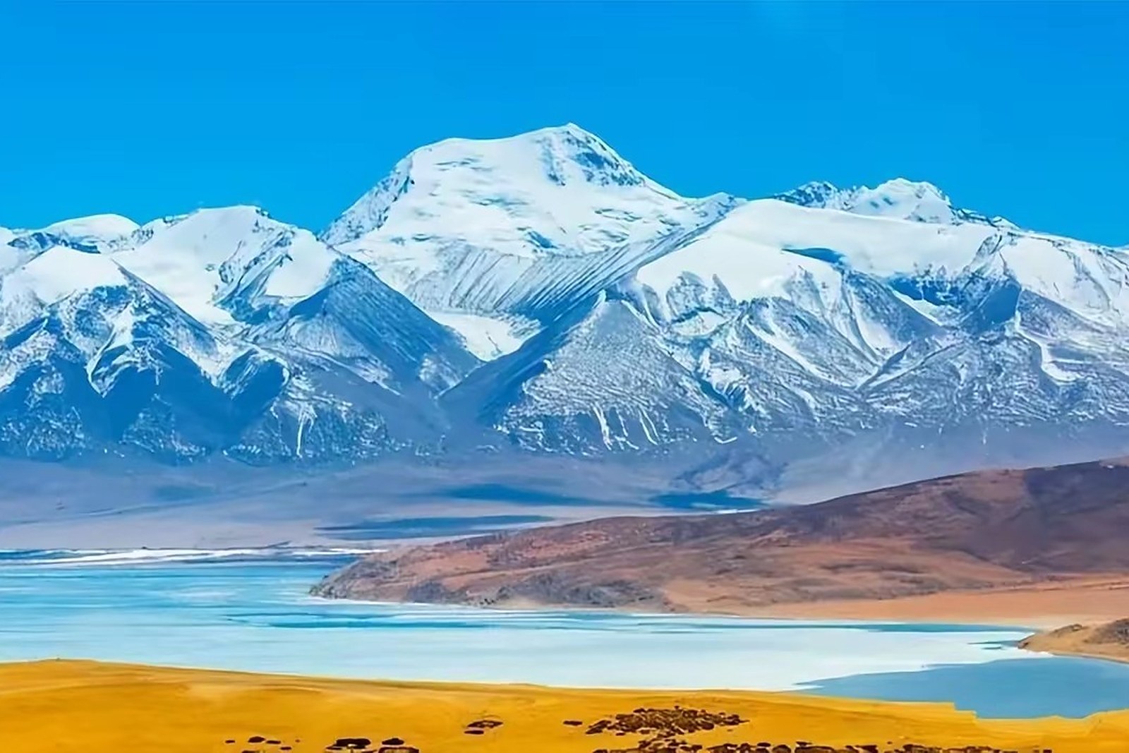
The waters divide two worlds. Just to the west, within sight across a thin strip of land, lies the dark and salty 拉昂错 Lā’áng Cuò Rakshastal, the lake of the demons in folk telling – one basin sweet, its neighbor bitter, and the pilgrim geography reads the pair as a moral. Herders’ tents dot the Manasarovar shore meadows each summer; bar-headed geese and gulls breed on the quiet bays; and the water shifts hour by hour from steel to turquoise as clouds cross the peaks.
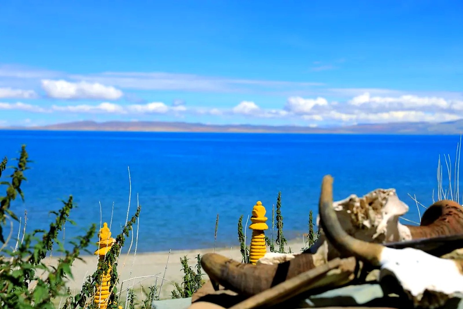
Pilgrims circle the lake in four or five days, bathing at the traditional fords; travelers usually drive the shoreline road, stopping at Chiu and the southern beaches. What Manasarovar offers beyond its views is stillness of a specific kind – the enormous calm of a sacred lake at 4,600 meters, where the wind in the flags is the loudest thing for miles. Sit at the shore toward evening, when the snow peak turns rose above the water, and the reason the lake has drawn pilgrims for a millennium stops being mysterious.
Practicalities
- The lake lies on the main highway north of Purang county town; the Chiu monastery viewpoint is a short drive off the road.
- The circuit walk runs about ninety kilometers over four or five days; the shore road suits travelers with limited time.
- Nights are cold at 4,588 meters in every season; carry layers and sun protection – the altitude makes the sun fierce.
- Lodging is simple guesthouses near Chiu and at Darchen on the lake’s eastern end; book nothing except in pilgrimage season.
Words and Names
玛旁雍错 Mǎpáng Yōngcuò Lake Manasarovar, the holy freshwater lake at 4,588 meters; 纳木那尼峰 Nàmùnàní Fēng Gurla Mandhata, the 7,694-meter peak of the southern shore; 吉乌寺 Jíwū Sì Chiu monastery, the hilltop retreat above the northwest shore; 拉昂错 Lā’áng Cuò Rakshastal, the salty lake of the west; 八功德水 bā gōngdé shuǐ the water of eight virtues, the lake’s scriptural title. Beyond the holy lake, the same 阿里地区 Ālǐ Dìqū Ngari keeps more places worth the detour: 冈仁波齐 Gāngrénbōqí the four-faiths mountain at its head, 古格王朝遗址 Gǔgé Wángcháo Yízhǐ the ruined citadel of Zanda, 札达土林 Zhádá Tǔlín the earth forest of the Sutlej valley, or 班公错 Bāngōng Cuò the long border lake of Rutog – four more doors into the same Ngari. Once the shore is behind you, our Ngari food map fills the table.
flowcloud would say Manasarovar is the plateau holding still – the one lake that has been listened to more than looked at. All checked November 2026.
Getting there: The lake lies north of Purang county town on the main highway – the Chiu monastery viewpoint is a short drive off the road, and Darchen sits at the lake’s eastern end. Most travelers pair it with the Kailash circuit. All checked November 2026.