
湄江国家地质公园 méi jiāng guó jiā dì zhì gōng yuán is the country’s karst laid open along a single river. It lies in the north-west of 涟源市 lián yuán shì in 娄底市 lóu dǐ shì, about forty kilometres from the city, and it is the only national geopark in central 湖南 húnán. The river that names it is the 湄水 méi shuǐ, a second-order tributary of the 湘江 xiāng jiāng, and it has spent its time cutting a gorge through limestone laid down in the Carboniferous and the Permian, so what you walk through is low mountain country of carbonate rock with every karst feature in the textbook: runnels, stone teeth, stone forests, peak clusters, sinkholes, dolines, karst lakes and natural bridges, with underground rivers and caves beneath them. The park is 55.44 square kilometres, a provincial scenic area since 1993 and a national geopark since 2013.
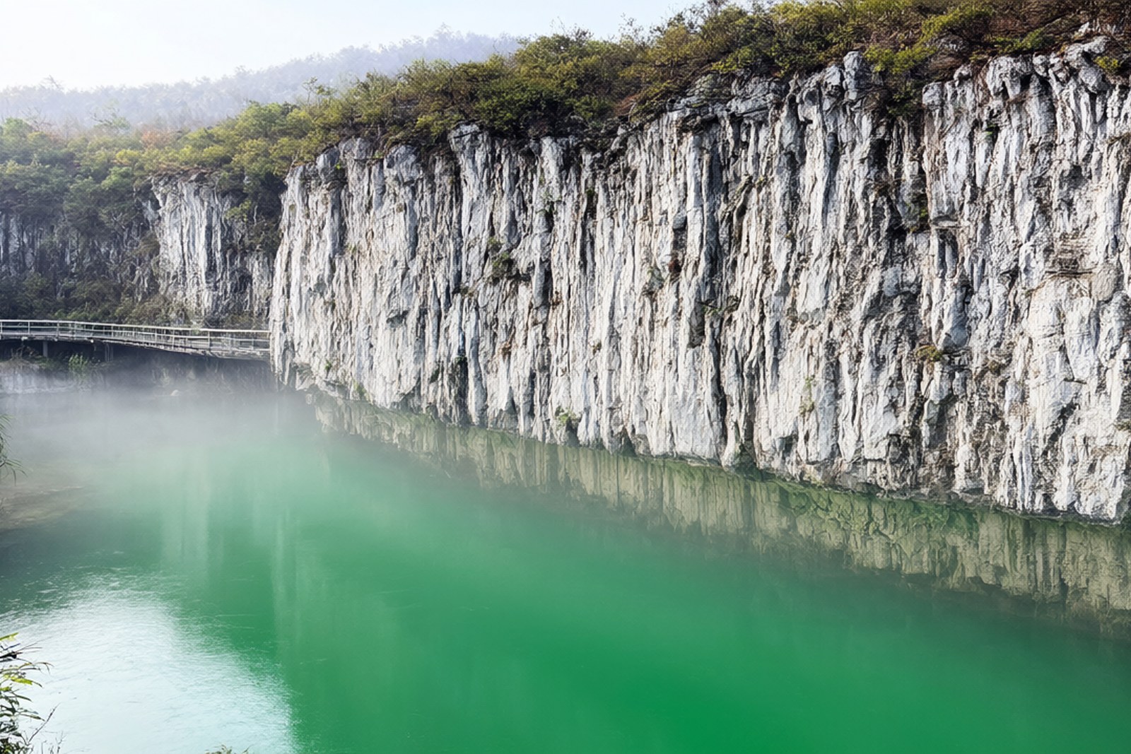
The county’s roll call of the park is written as a counting rhyme – 一代帝陵、二湖秀水、三道岩门、四片绿洲、五座寺庙、六大飞瀑、七里峡谷、八面险景、九曲湄江、十处绝景、百个奇洞、千块巧石、万树腊梅, one imperial tomb, two lakes, three rock gates and so on up to ten thousand plum trees – and behind the rhyme stand four things geologists come for. 观音崖 guān yīn yá sits above 莲花涌泉 lián huā yǒng quán, where five eyes of water boil up side by side out of a fissure in the bedrock and have never stopped, which is rare in a limestone country and the reason the cliff above has been a Buddhist site for centuries. 仙人府 xiān rén fǔ is not one natural bridge but a stack of them, a single arch and a double arch standing beside each other with four storeys of self-grown bridge in the same massif, the largest opening around fifty metres high, cut through thin-bedded limestone with siliceous bands between the beds. 藏君洞 cáng jūn dòng has a stone column sixteen metres high, and 香炉山 xiāng lú shān a boulder one person can rock with a hand and a dozen cannot push over.
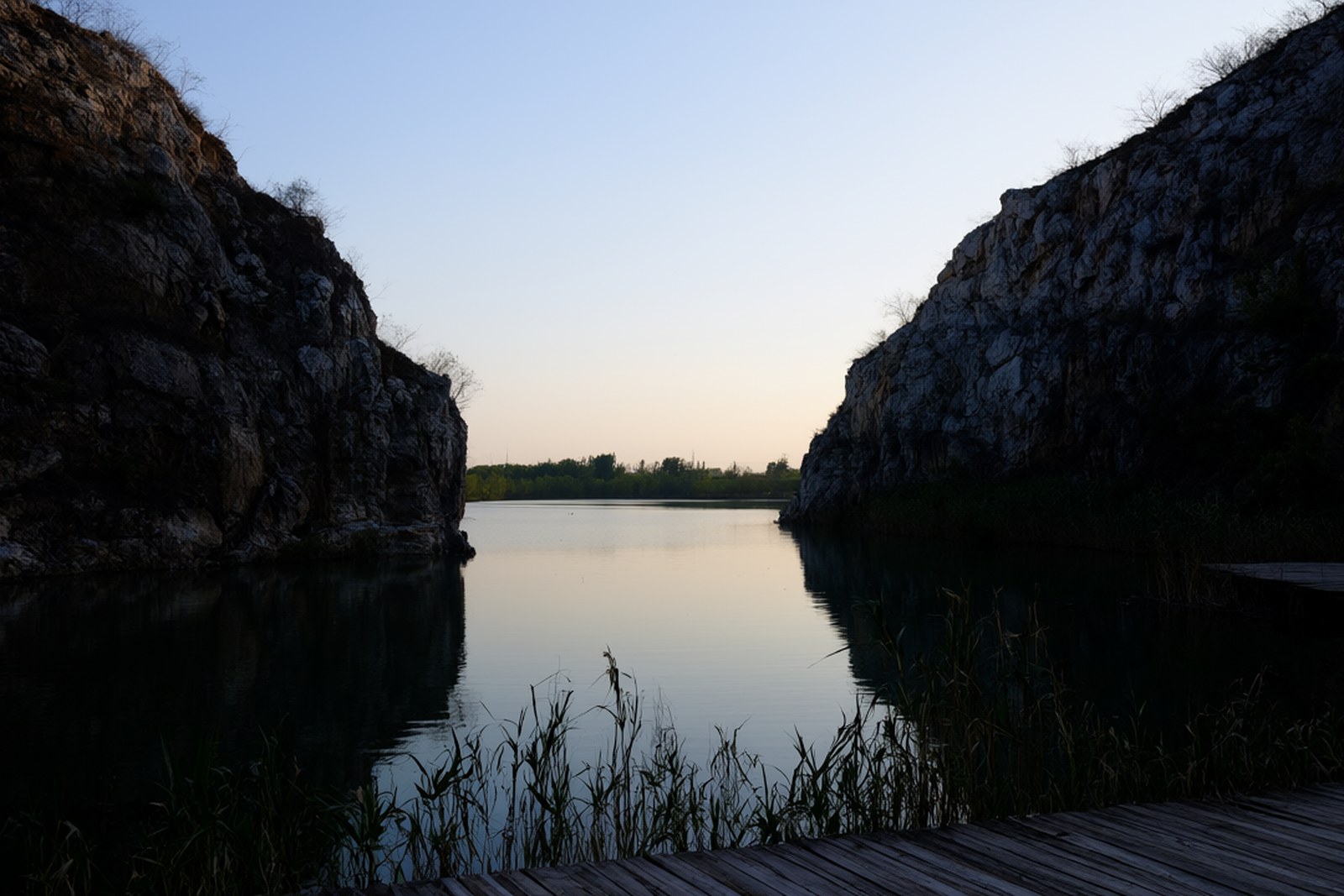
Seeing it properly takes a day and a half, and the shape of the visit is decided by the park being five separate areas strung along one road: 观音崖—藏君洞 at the western end, 仙人府—香炉山 in the middle and 塞海—龙泉峡 to the east, with 大江口 and 仙女寨 beyond. The park’s own shuttle, ten yuan a ride, is what makes a single day possible. Two walks are worth planning around – 揽月古道 lǎn yuè gǔ dào, a 6.5-kilometre ridge path with a glass section above the cliff gallery, and 汀兰步道 tīng lán bù dào, 3.6 flat kilometres along 塞海湖 sài hǎi hú where early mist lies on the water – and the 三道岩门, three gates of rock, stand at the far end of the second.
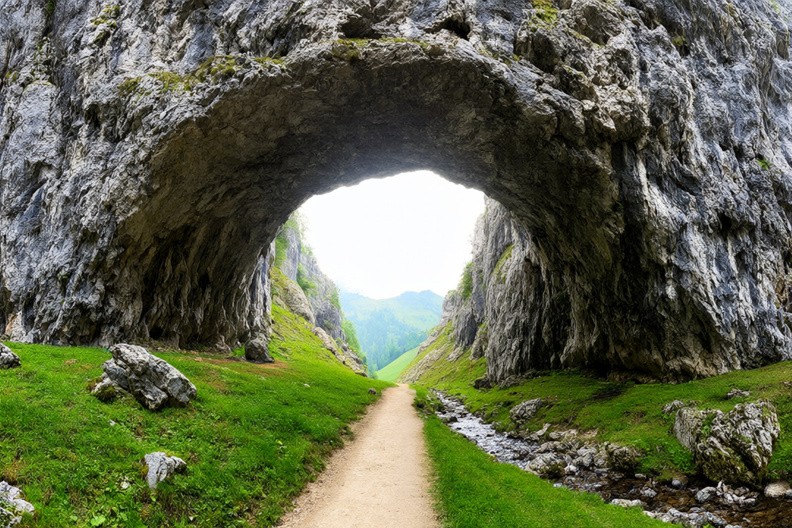
The 十里画壁 shí lǐ huà bì, the ten-li painted wall, is the image the park is sold on: a cliff rising in a single plane for what the local description calls 百丈, a hundred zhang, with the 湄水 running along the bottom of it, a gallery of nearly ten kilometres of unbroken rock. That gets the place compared to 桂林 guì lín and called a small one, and the comparison is worth handling carefully, because 桂林 is a city built round a river between towers of stone and this is a farming valley with one wall of rock and a great deal of green – but the light on the cliff in the last two hours of the afternoon does the work. The seasons are part of the visit: plum blossom and the lakes in late winter, mist on the water in April and May, the clear dry autumn the photographers wait for. There is no closing day to plan around, only a winter timetable that moves the last admission earlier.
Practicalities
Tickets. The park does not sell one ticket to one gate; it sells combinations. The fullest of them, taking in 观音崖, 仙人府, 塞海湖, 藏君洞 and the pedal boats on the lake, runs to the high double figures, and a smaller combination covering one formation, most often 观音崖, is about thirty yuan. The ridge walk of 揽月古道 sits in its own middle-priced ticket and is the one people regret skipping, and the lake boat is charged separately from the road tickets.
Opening hours. The gates open at nine in the low season and at half past eight in summer, and they shut between half past four and half past five depending on the month, with the last admission about an hour before. This is a large area rather than a building, so the hours that matter are those of the shuttle and of the ticket checks inside, and the walk out of 揽月古道 at dusk is longer than most people expect.
Getting there. The geopark is at 湄江镇 méi jiāng zhèn, north-west of 涟源市 lián yuán shì and about forty kilometres from the city on county road 031. By car from 娄底 lóu dǐ, take 娄怀高速 lóu huái gāo sù for about forty kilometres to the 涟源北 lián yuán běi exit and then fifteen kilometres of county road, an hour in all; the car parks at the museum and at 苏家坪 cost ten yuan. By bus, 涟源汽车站 lián yuán qì chē zhàn runs a direct service every thirty minutes from seven until four for about twelve yuan, and shared taxis from 娄底南站 are the quickest way up.
Closing day. There is no weekly closing day and the park opens every day of the year, but the winter timetable bites: from November the last admission moves earlier and the higher paths, including the ridge walk, close for ice. Heavy rain closes the water sections rather than the park, which changes a visit rather than spoiling it, and the guesthouses at the geopark gate are used to people who have come up in the rain and stayed.
flowcloud would say that the county wrote itself a counting rhyme because there is too much here to put in a sentence, and that the piece worth the trip is not the cliff everybody photographs but the five springs under 观音崖 that have been coming out of the same crack in the rock without stopping for as long as anyone has been counting.
Getting there: 湄江国家地质公园 is at 湄江镇 méi jiāng zhèn in 涟源市, 娄底市, about forty kilometres north-west of the city on county road 031; from 娄底 take 娄怀高速 lóu huái gāo sù to the 涟源北 exit and follow the county road for fifteen kilometres, which is roughly an hour, or take the half-hourly bus from 涟源汽车站 lián yuán qì chē zhàn between seven and four. 娄底南站 on the high-speed line is about fifty yuan away by shared taxi, and the museum and the two big car parks are the natural places to leave a car.