
Mount Kailash — the Pyramid of Snow That Four Faiths Circle
冈底斯巅雪作冠,四教同尊一山传 Gāngdǐsī diān xuě zuò guān, sì jiào tóng zūn yī shān chuán – The summit of Kailash wears snow for a crown; four faiths honor the same mountain together
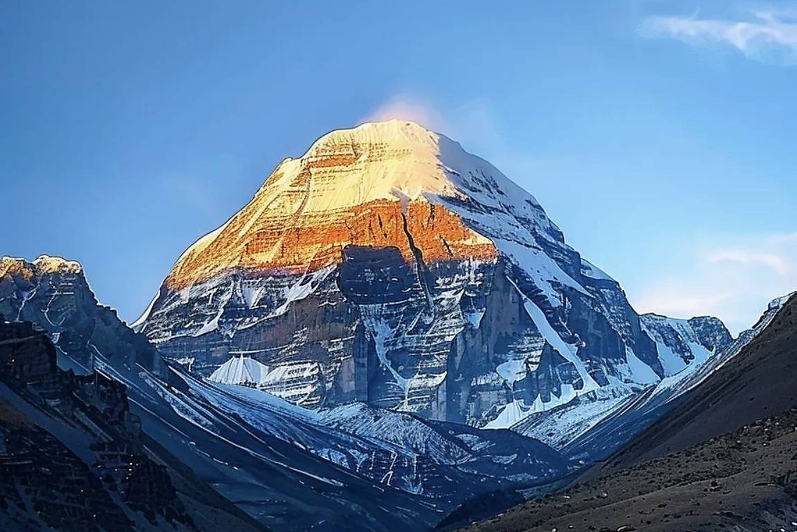
冈仁波齐 Gāngrénbōqí Mount Kailash rises to about 6,656 meters above the grasslands of 普兰县 Pǔlán Xiàn Purang county, a near-perfect pyramid of snow and striped rock that no one has ever climbed – and, by consensus of everyone who reveres it, never should. Buddhists, Hindus, Bon practitioners and Jains all hold it holy; Hindus read it as the earthly form of Mount Meru, the axis of the world; and the pilgrim roads from Lhasa, from India and from every corner of the plateau have converged on its base for well over a thousand years. Few mountains anywhere carry this weight of belief, and fewer still carry it with so perfect a shape: the south face falls in clean couloirs and hanging glaciers, the summit catches first light like a lamp, and the whole massif reads as architecture rather than geology.
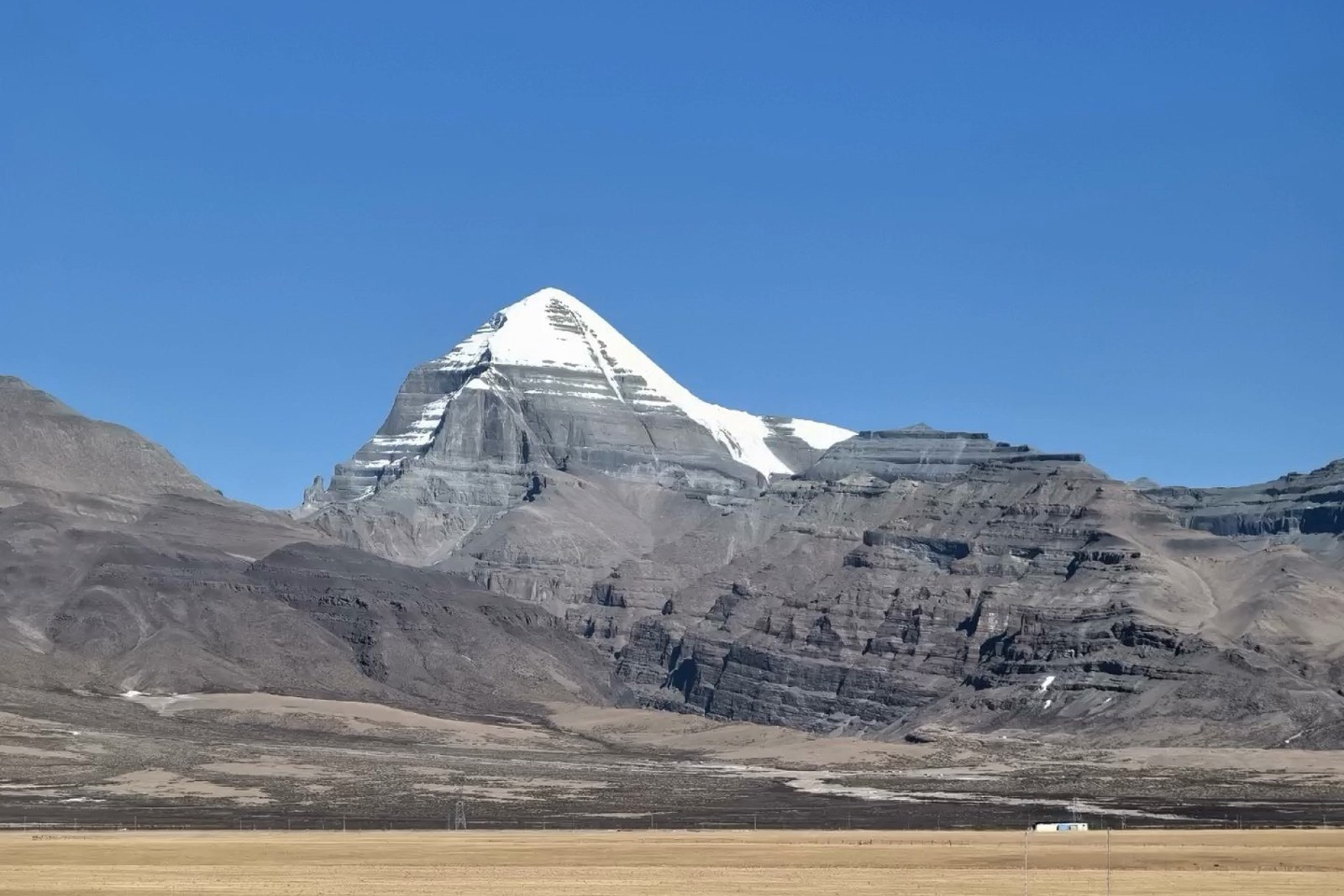
The circuit of the mountain, the 转山 zhuànshān kora, runs roughly fifty-two kilometers over two days, starting from the small town of 塔尔钦 Tǎ’ěrqīn Darchen at its foot. The path climbs past prayer-flag-choked Dirapuk monastery into the shadow of the north face, crosses the 卓玛拉山口 Zhuómǎlā Shānkǒu Dolma La pass at about 5,630 meters among hundreds of stone cairns, and drops down the eastern side to Zutulpuk before closing the loop. Tibetans walk it in a single hard day; pilgrims from the Indian side often prostrate the entire route, measuring the circuit body-length by body-length across days of extreme altitude.
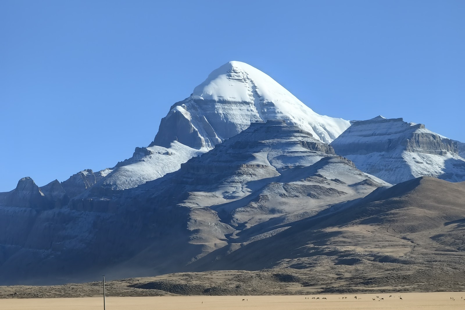
Walk any part of the trail and the procession becomes the landscape: herders driving loaded yaks past mani walls, monks reciting over steaming thermoses, old women from Amdo stepping with walking staves, trekkers from every continent breathing hard in the thin air. The mountain watches all of it with the same white patience. At the Tarboche flagpole on the western side, the great pole is raised fresh each year in the year of the horse – an event so charged that the whole valley fills with families and flags.
What Kailash gives the traveler is a rare thing: a landscape where the geography and the mythology are one subject. Whether you walk the full kora or watch the pilgrims from the tea houses of Darchen, the mountain reorganizes your sense of scale – of what a peak can mean, of how long people have walked toward it, and of how little the modern world has changed the view. Bring warm clothes, walk slowly, and let the circuit do what it has done for pilgrims for centuries.
Practicalities
- The kora starts at Darchen on the highway south of the lake – two days on foot with basic lodging at Dirapuk and Zutulpuk; pack for freezing nights in any month.
- The Dolma La pass sits at about 5,630 meters: acclimatize first, walk slowly, and turn back early for symptoms of altitude sickness.
- The pilgrimage season peaks in the horse year and the sagadawa month; expect crowds then and quiet the rest of the year.
- Darchen has guesthouses, tea houses and equipment shops; arrange yaks or porters through the pilgrim services at the trailhead.
Words and Names
冈仁波齐 Gāngrénbōqí Mount Kailash, the unclimbed holy pyramid of Purang; 转山 zhuànshān the kora, the circuit walk around the mountain; 卓玛拉山口 Zhuómǎlā Shānkǒu the Dolma La, the 5,630-meter pass of the circuit; 塔尔钦 Tǎ’ěrqīn Darchen, the pilgrim town at the trailhead; 经幡 jīngfān prayer flags, the wind-blown banners of the route. Beyond the holy mountain, the same 阿里地区 Ālǐ Dìqū Ngari keeps more places worth the detour: 玛旁雍错 Mǎpáng Yōngcuò the great holy lake at its foot, 古格王朝遗址 Gǔgé Wángcháo Yízhǐ the lost citadel of the Sutlej valley, 札达土林 Zhádá Tǔlín the earth forest around Zanda, or 班公错 Bāngōng Cuò the long blue lake of Rutog – four more doors into the same Ngari. Once the circuit is behind you, our Ngari food map fills the table.
flowcloud would say Kailash is the mountain that answers a question most peaks never hear asked – and it answers with silence and snow. All checked November 2026.
Getting there: From Shiquanhe the highway runs southeast to the Barkha junction, then south into Darchen – a long day’s drive on good road; from Purang county town the approach north is shorter. The kora itself takes two days on foot from Darchen. All checked November 2026.