
Nan’ao’s Lighthouse Bay, the End of the Island Road
The road runs out at the southern end of the island, and what is there is a lighthouse, a rocky shore and open water. 南澳岛 Nán’ào Dǎo is about eleven kilometres off the mainland, roughly twenty-three kilometres long and shaped like a bent bean, and the far south is the part that has been left alone: no beach resort, no car park, just the last stretch of the coast road climbing over a headland and dropping into a bay with a light on the point. On a clear day you can see the mainland coast to the west and, to the east, nothing at all until the horizon. The wind comes straight off the open sea here without any land to break it, and the sound of the swell on the rocks is the loudest thing for some distance.
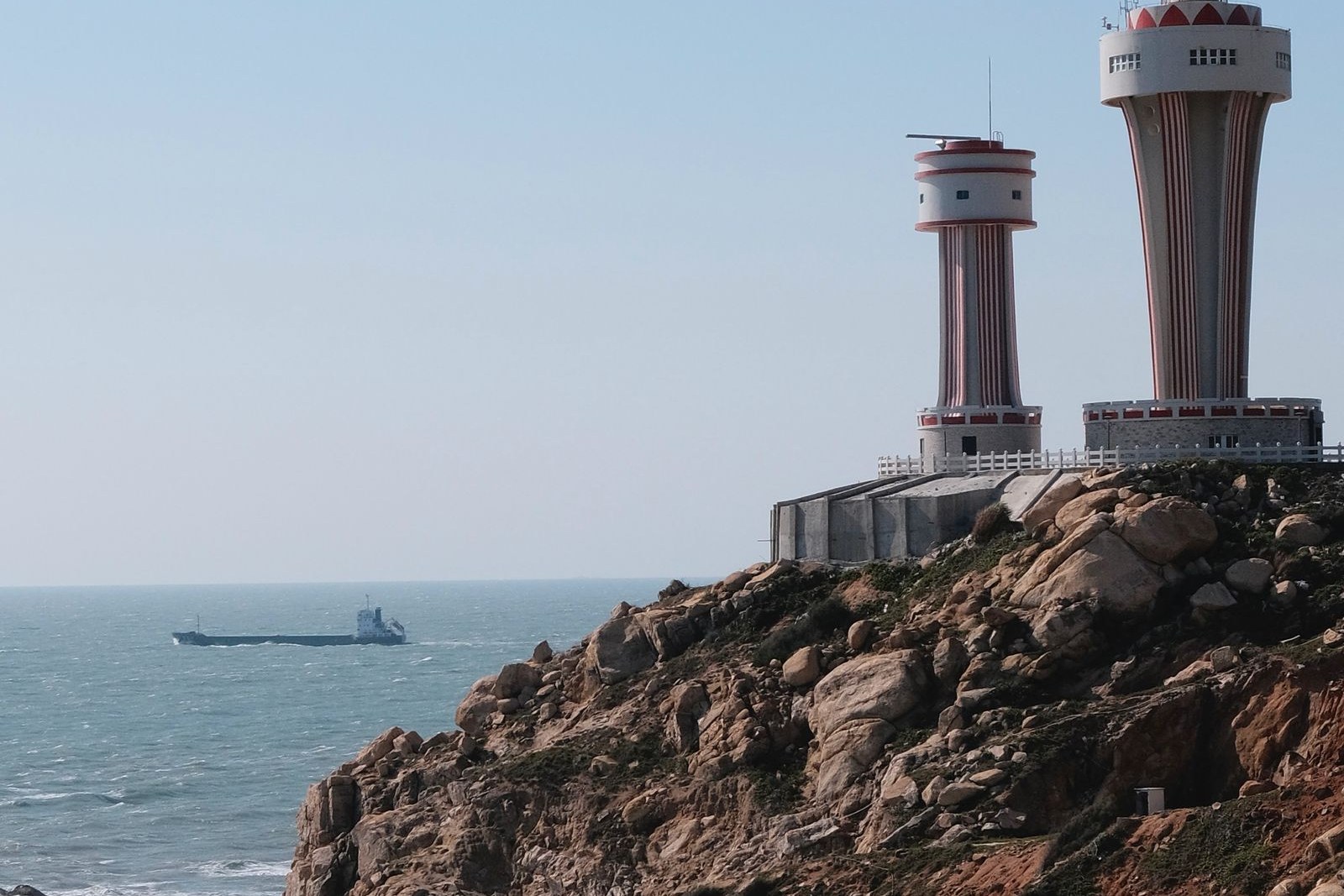
The island has been a navigational problem for as long as anyone has sailed this coast, because it sits across the approaches to the Shantou and Chaozhou harbours and the passage between it and the mainland is narrow and tidal. Lighthouses and beacons have been kept on its points for well over a century, and the present lights are working aids to navigation rather than monuments. The southern end is also where the fishing grounds begin, and small boats work the water off the point through the day, which is the human activity you are most likely to see. The rest is rock, scrub, wind and sea, and the walking is along the shore and up the headland rather than through anything built.
What You Actually See
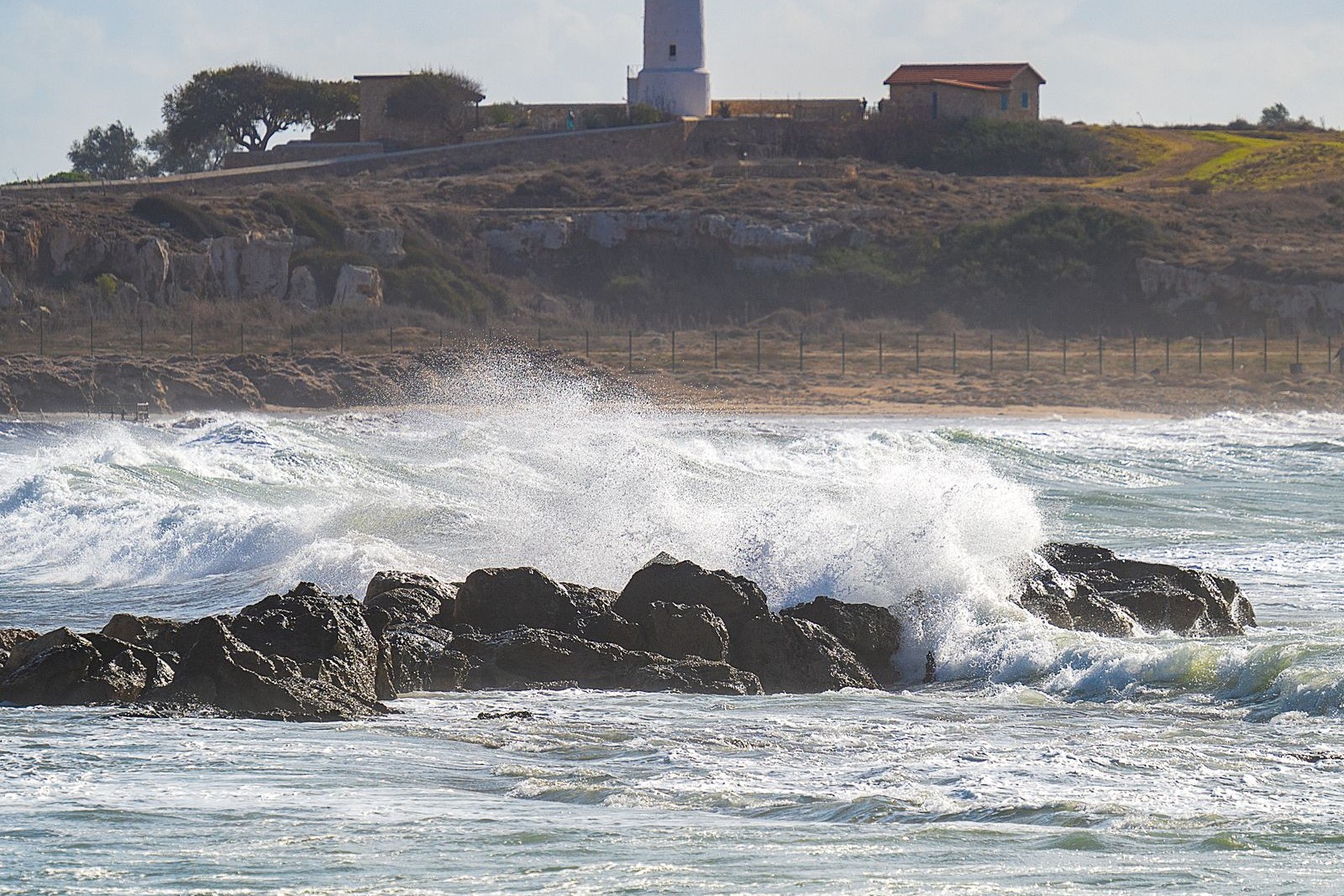
The lighthouse itself is the marker and the view from beneath it takes in the whole southern coast of the island, back along the cliffs and out to the open sea. The rocks below are worth a slow look, because the shore here is a good place to watch the swell and, in the right season, the fishing boats setting out and returning. The short walk over the headland between adjacent bays is the best thing to do on foot, and it is steep enough to feel like a walk and short enough to do without planning.
The road south is a destination in itself, since it runs along the coast for much of its length with repeated views of the water and passes through the island’s other bays and small hamlets on the way. The 南澳岛 Nán’ào Dǎo interior is hilly and wooded, and the road over the middle gives a view of both coasts at once, which is the easiest way to understand how narrow the island is. Plan the southern tip as the end of a half-day loop rather than as an isolated stop, and time it for late afternoon, when the light comes across the water.
Practicalities
Tickets. The southern tip is open coast with no gate and no admission charge, and the lighthouse is viewed from outside rather than entered. The 南澳大桥 Nán’ào Dàqiáo, the bridge from the mainland, charges a toll per vehicle of roughly ¥50 to ¥80, which is the main cost of getting to the island at all. Parking at the southern bays is informal and generally free.
Opening hours. There is no opening or closing time; the coast is accessible at all hours. Daylight is the sensible window, partly for the view and partly because the coast road has no lighting and the wind at night is stronger than it looks. The best light is in the late afternoon, and the drive back to 后宅 Hòuzhái in the dark takes longer than visitors expect.
Closing day. There is no closing day and nothing to close. The road south is occasionally restricted in bad weather, when the bridge and the exposed coastal sections are closed to high-sided vehicles, and typhoon warnings in summer and early autumn can shut the island’s roads altogether for a day or more. Check the forecast before committing to the drive in those months.
Getting there. From 汕头市 Shàntóu Shì the drive across 南澳大桥 Nán’ào Dàqiáo to the island takes about an hour, and the run from 后宅 Hòuzhái, the main town, to the southern tip is another twenty-five to thirty-five minutes along the coast road. Buses serve the island’s main settlements but not the southern headland well, so a car or a hired driver is much more practical. 揭阳潮汕国际机场 Jiēyáng Cháoshàn Guójì Jīchǎng is around an hour and a half away by road, and there is no rail connection to the island at all.
flowcloud would say that the last bay on an island is almost always the honest one, since it is where the road stops being useful to anybody who is not a fisherman or a lighthouse keeper.
Getting there: by car, in the late afternoon, taking the coast road south and stopping at the bays on the way rather than driving straight through. Walk the headland between two of the southern bays rather than only looking from the car park, stay for the light on the water, and leave enough daylight to drive back, because the coast road in the dark is slower than the map suggests.