
Glaciers Above the Spruce Line: A Day in Oytagh Valley Under Seven-Thousand-Metre Peaks
雪峰垂冰川,云杉接牧场 Xuěfēng chuí bīngchuān, yúnshān jiē mùchǎng – Glaciers hang from the snow peaks; spruce forest hands the valley to the pastures
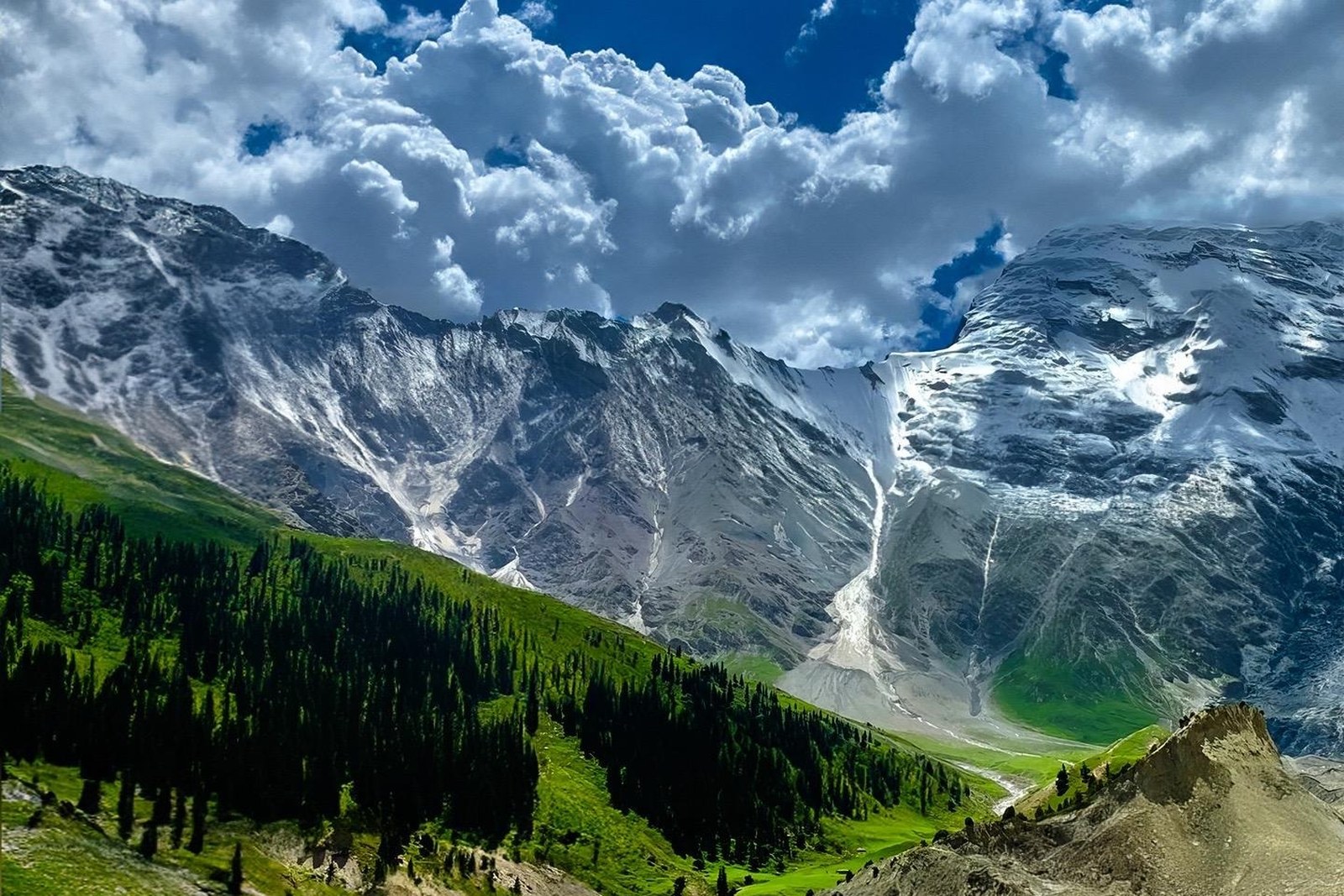
正文:奥依塔克冰川公园 Àoyītǎkè Bīngchuān Gōngyuán Oytagh Glacier Park folds into the mountains about eighty kilometres east of Atush on the G314, where a side valley of the Gez river climbs toward the icefalls of the Kongur massif – peaks above seven thousand metres standing over a green world of spruce, meadow and Kyrgyz summer pasture. The park’s trick is compression: within one afternoon’s walk you move from poplar-lined valley floor through dark spruce forest to moraine slopes at the foot of living ice, an altitude and climate journey that Alpine ranges would spread over days. The valley mouth sits almost on the highway, which makes it the easiest glacier encounter in all of Xinjiang.
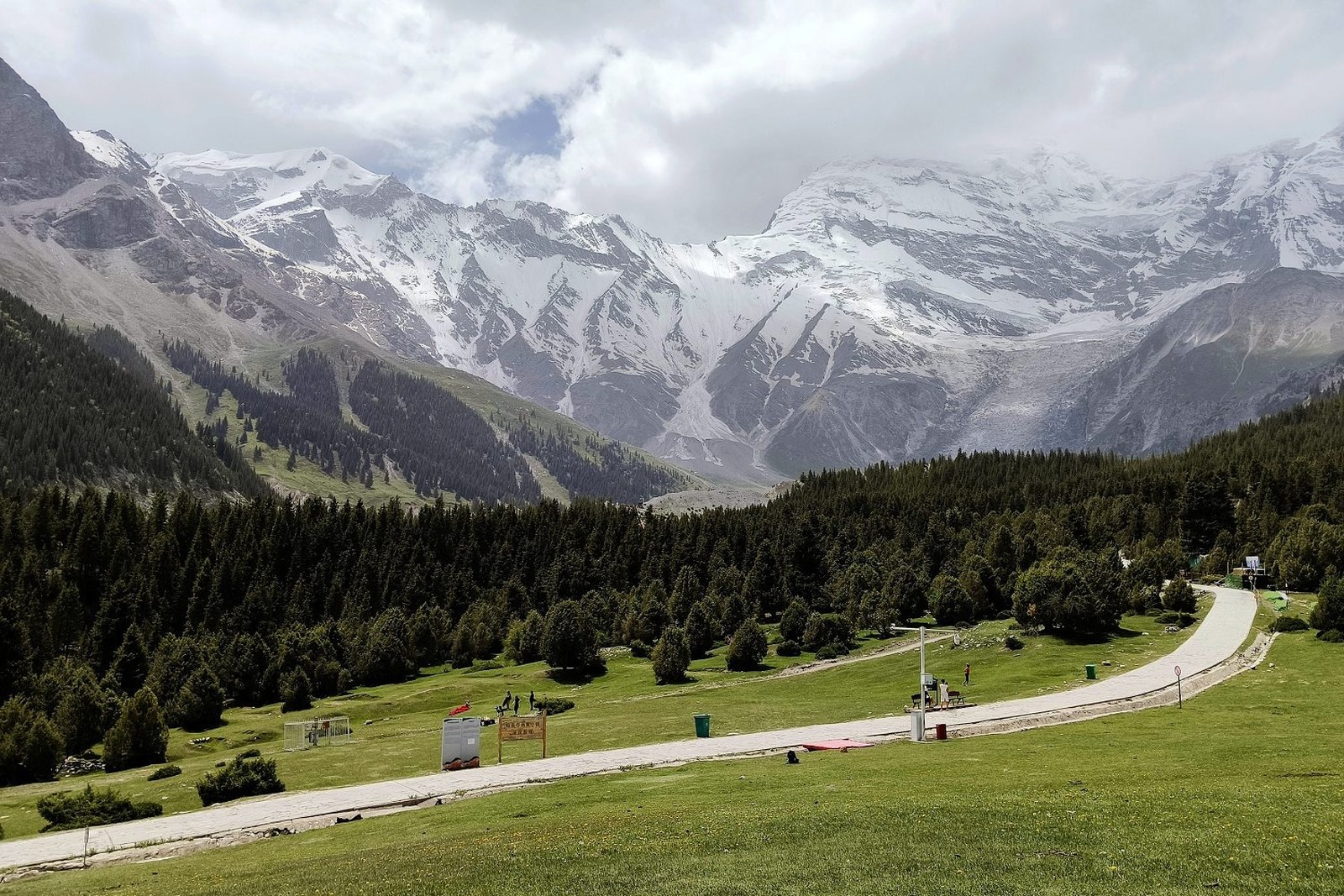
The drive up the valley sets the tone. The road follows grey meltwater, crosses it on simple bridges, and passes Kyrgyz settlements whose stone-and-turf enclosures have grazed these meadows for centuries. Yaks and sheep work the slopes; children wave at passing cars with the confidence of people who live inside a postcard. At the road end a trail continues on foot – gentle at first, then steeper through the terminal moraine, where the sound of the river gives way to the creak and drip of moving ice. On clear days the main icefall hangs above the trail’s end like a frozen waterfall poured down the mountain’s flank.
Wildflowers are the park’s second headline. From June into August the meadows run wave after wave – gentians and edelweiss high on the scree, thick lupine and wild allium in the pasture grass – and herders’ yurts pitch among them, smoke rising at dusk as the herds come in for milking. Travellers who arrive for the glaciers often leave talking about the flowers instead. Autumn reverses the palette: the spruce stays black-green while the valley’s birch and scrub go gold, and the first snows dust the higher moraines into a black-and-white photograph that needs no filter.
The name “Oytagh” is usually glossed as “high mountain” in Kyrgyz, and the valley earns it on both ends – the walls rise over three thousand metres from floor to ridgeline. What surprises most visitors is the forest: spruce is expected in the Tianshan, less so here on the Pamir’s eastern edge, and the stands in the middle valley are old enough that their shade keeps snow into June. Birdwatchers get their own rewards – choughs ride the thermals around the icefall, and the scrub margins hold warblers and rosefinches through the short summer.
Practicalities inside the valley. The park gate stands just off the G314, tickets are modest, and private cars may drive partway up the valley road in season; shared taxis from Atush and Ulugqat both stop at the gate. Wear layers – the valley runs fifteen degrees cooler than the highway – and carry rain gear, since afternoon clouds build against the icefall most days. Trails are unmarked in places; the herder paths that look confident usually are, and asking at the yurt camps settles every route question faster than any map.
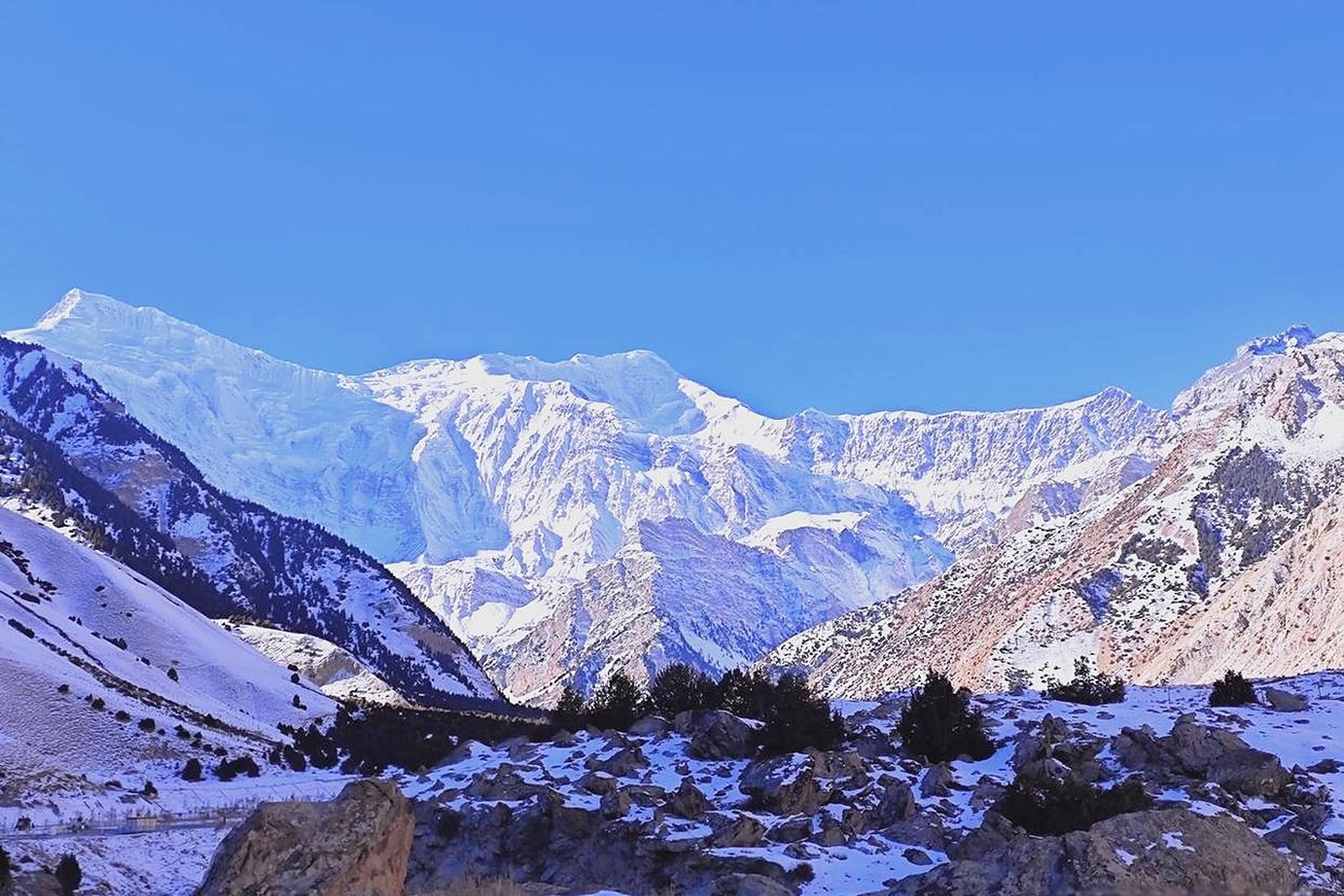
For photographers the schedule writes itself: morning for reflections in the meltwater channels, midday for the forest and meadows, evening for alpenglow on the icefall – a daily rotation that repeat visitors happily repeat. Accommodation in the valley ranges from wood-cabin guesthouses to yurt camps, and sleeping inside the park converts the trip from excursion to immersion: the river runs all night, the stars over the Kongur ridgeline are absurd, and breakfast comes with the first light hitting the summit ice.
Combine Oytagh with the Karakoram highway journey and the logic is clear – it is the green pause between the Atush plain and the white desert of White Sand Lake, close enough to Atush for supplies, far enough to leave the city behind entirely. Hikers who want more than a day can link valley trails toward the high pastures with a local guide; everyone else should simply walk as far as the moraine viewpoint, sit down, and watch the icefall do nothing at all, magnificently, for an afternoon.
Practicalities
East of the ice, the same 克孜勒苏柯尔克孜自治州 Kèzīlèsū Kē’ěrkèzī Zìzhìzhōu Kizilsu Kirghiz Autonomous Prefecture keeps more places worth the detour: 阿图什天门 Ātúshí Tiānmén Atush Tianmen for the giant arch, 白沙湖 Báishā Hú White Sand Lake for the dune shore, 阿合奇猎鹰 Āhéqí Lièyīng Aheqi Falconry for the eagle festivals, or 西陲第一哨 Xīchuí Dìyī Shào the West Frontier First Outpost for the last-light village – four more doors into the same 克孜勒苏柯尔克孜自治州 Kèzīlèsū Kē’ěrkèzī Zìzhìzhōu Kizilsu Kirghiz Autonomous Prefecture. Once the glacier is seen, our Kizilsu food map fills the day.
Practicalities
Words and Names
flowcloud would say Oytagh is a cheat code for high-mountain scenery: spruce forest, wildflower pasture and a live icefall packed into one valley you can reach for the price of a bus ticket. All checked November 2026.
Getting there: Oytagh is about eighty kilometres east of Atush on the G314 toward Kashgar, call it ninety minutes by car; the park gate sits just off the highway at the valley mouth, and private cars can drive partway up the valley road to the trailheads. Shared taxis from Atush and Ulugqat both stop at the gate in season. All checked November 2026.