
Pangong Lake — the Blue Ribbon of the Border Country
一水长弯碧接天,鸥群起落草湖边 Yī shuǐ cháng wān bì jiē tiān, ōuqún qǐluò cǎo hú biān – One long ribbon of blue reaches the sky; gulls rise and settle by the grassy shore
班公错 Bāngōng Cuò Pangong Tso is a ribbon of water unlike any other lake of the plateau: a single basin that runs for well over a hundred kilometers along the high valleys of 日土县 Rìtǔ Xiàn Rutog county, narrow enough at points to see both shores at once, long enough to hold a dozen moods of weather at the same time. Its Chinese section lies at about 4,242 meters, reached by the highway out of Shiquanhe; the road runs along the shore so close that the first sight of the lake is simply there – blue-green water, bare apricot and violet mountains, and not a building in frame.
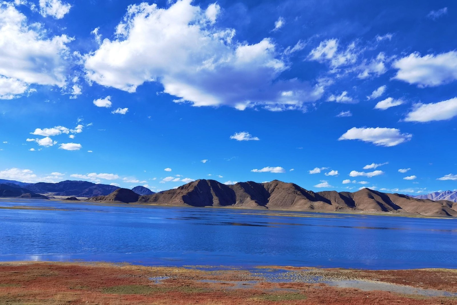
The lake’s famous oddity is its split character: the eastern reaches, the ones in Rutog, are fresh enough for fish, reeds and birds, while far to the west the water turns progressively brackish – one lake, two chemistries, and the boundary sits quietly in the middle. The fresh eastern bays are why the birds are here: low grassy islands near the eastern end become bird cliffs each summer, packed with 斑头雁 bāntóu yàn bar-headed geese and brown-headed gulls among the highest breeding colonies of their kind anywhere on earth.
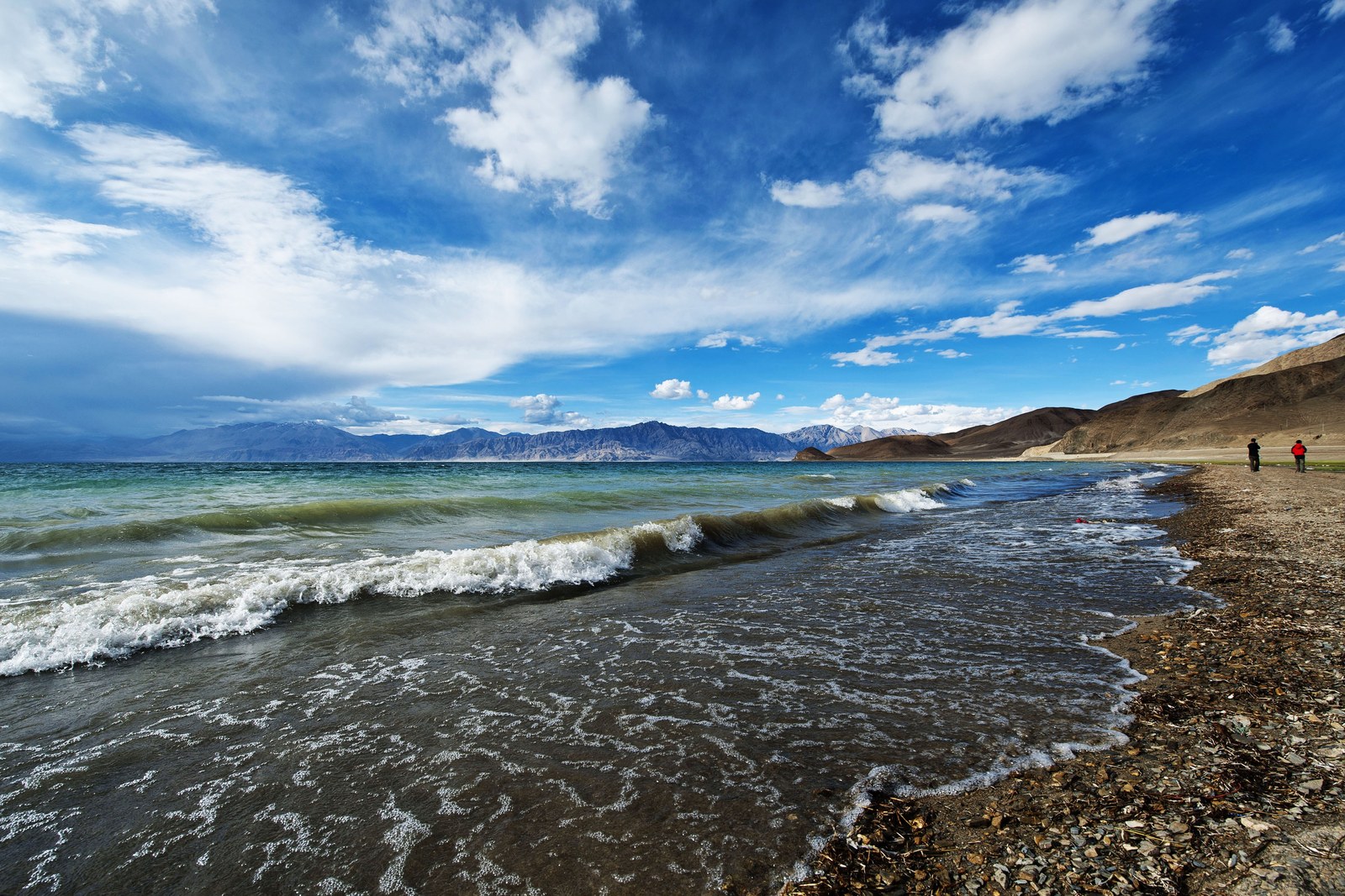
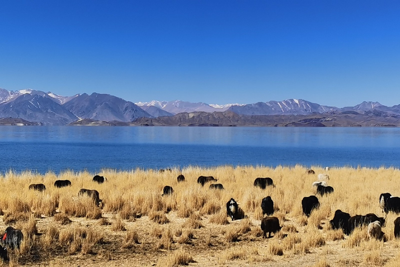
Driving the shore road is the visit. The highway leaves the water and returns to it in long arcs; herder tents stand on the shore meadows where sheep and goats graze to the waterline; and the color of the lake changes by the hour – pewter under cloud, then a green that has no name in plain speech, then deep blue where the depth begins. Viewpoints along the eastern shore need no detour; the road is the tour, and the further tracks beyond the main overlook see almost no one at all.
What Pangong gives the far west is a finale: the last great water of the plateau before the passes rise toward the Karakoram. Morning at the shore, with geese calling over the reeds and the snow-dusted ridges catching first light, is as pure as the region gets; evening brings wind and long shadows and a cold that reminds you the lake sits at four thousand meters and more. Bring everything you need from Rutog’s county town, take the road slowly, and give the ribbon its hours – the lake repays patience with color that cameras only approximate.
Practicalities
- The lake shore lies a short drive north of Rutog county town; from Shiquanhe count roughly three hours northeast on the highway.
- Bird season runs May to August on the eastern islands; distances and access follow the shore road – keep to marked viewpoints.
- No facilities stand at the shore; carry food, water and fuel from Rutog or Shiquanhe.
- Altitude on the shore is above 4,200 meters with constant wind; layers matter even in summer.
Words and Names
班公错 Bāngōng Cuò Pangong Tso, the long border lake at 4,242 meters; 日土县 Rìtǔ Xiàn Rutog county, the gateway town of the eastern shore; 斑头雁 bāntóu yàn the bar-headed goose, signature breeder of the bird islands; 东淡西咸 dōng dàn xī xián fresh east, brackish west – the lake’s split character; 鸟岛 niǎodǎo the bird islands, the summer colonies of the eastern bays. Beyond the long lake, the same 阿里地区 Ālǐ Dìqū Ngari keeps more places worth the detour: 冈仁波齐 Gāngrénbōqí the holy mountain of Purang, 玛旁雍错 Mǎpáng Yōngcuò the great sacred lake, 古格王朝遗址 Gǔgé Wángcháo Yízhǐ the citadel of Zanda, or 札达土林 Zhádá Tǔlín the earth forest country – four more doors into the same Ngari. Once the ribbon is behind you, our Ngari food map fills the table.
flowcloud would say Pangong is the plateau’s last word in blue – a lake that got the length of a valley and the patience to use it. All checked November 2026.
Getting there: From Rutog county town the lake shore lies a short drive north on the highway; from Shiquanhe count roughly three hours northeast. Viewpoints along the eastern shore need no detour – the road is the tour. All checked November 2026.