
The Mirror of the Glacier: Ranwu Lake
冰川融雪入湖来,一面明镜照雪山 Bīngchuān róngxuě rù hú lái, yī miàn míngjìng zhào xuěshān – Meltwater comes down from the glacier; a bright mirror holds the snow mountains
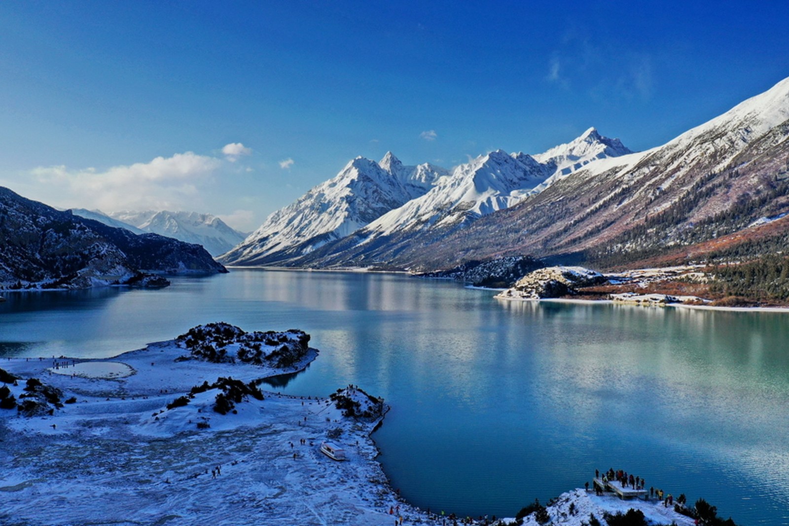
然乌湖 Ránwū Hú Ranwu Lake, beside the Sichuan-Xizang highway at Ranwu town in Baxoi county of 西藏自治区昌都市 Xīzàng Zìzhìqū Chāngdū Shì Chamdo, is a long glacier-fed lake whose cold blue-green water mirrors snow ridges rising straight from the shore. Dammed ages ago by glacial debris, it stretches more than twenty kilometers along the valley in three stepped sections, and it feeds the 帕隆藏布 Pàlóng Zàngbù Palung Tsangpo, the great eastern branch of the Yarlung Tsangpo. For overland travelers it is the signature sight of the western G318.
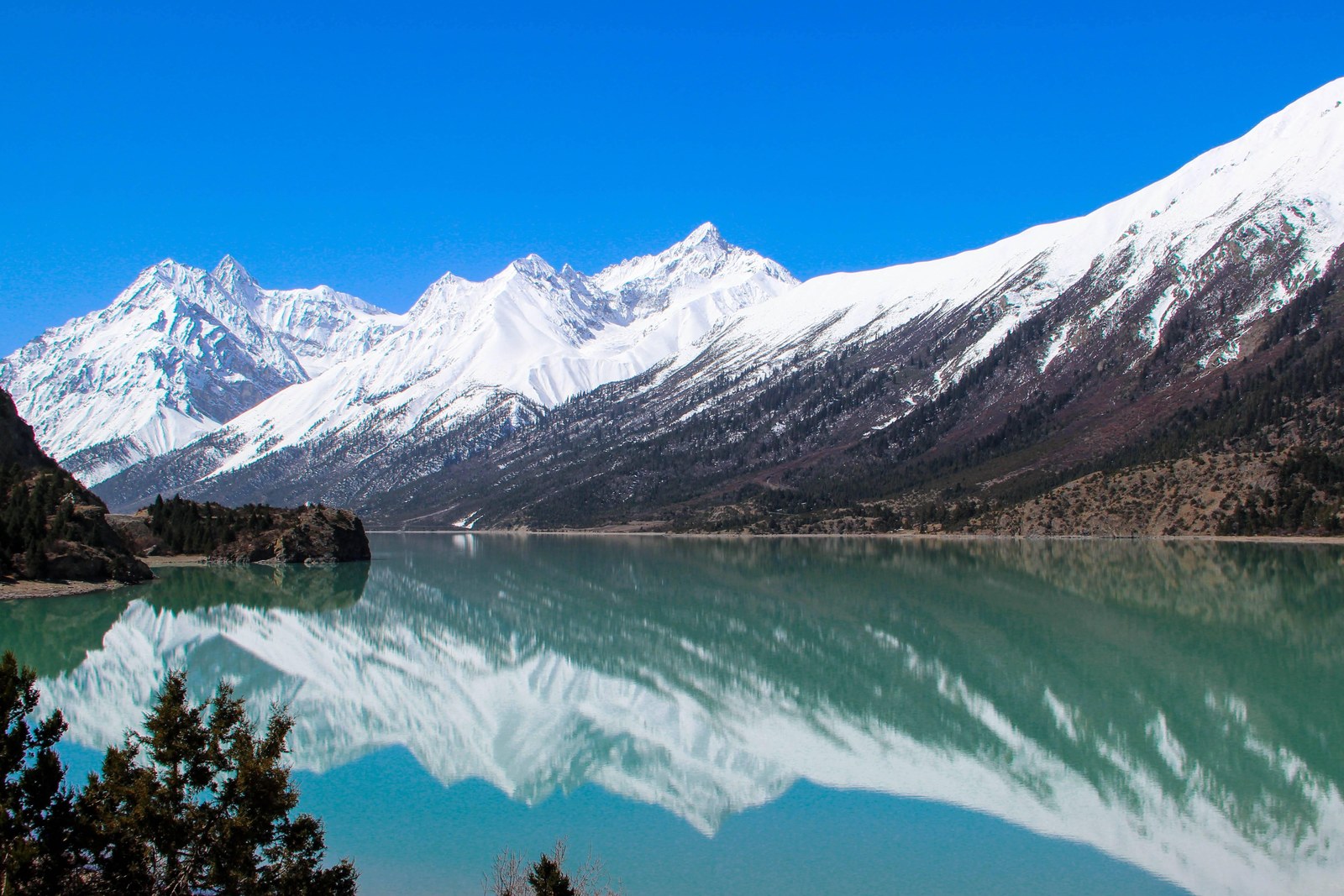
The lake changes hour by hour. Dawn is the hour of mirror calm, when peaks and clouds double themselves in the water and the shore gravel shines; by afternoon the wind streaks the surface and clouds often close over the pass. The colors run from deep turquoise to milky grey-green with the glacier load, and in late autumn the clear water and the first snows give the combinations photographers wait whole seasons for.
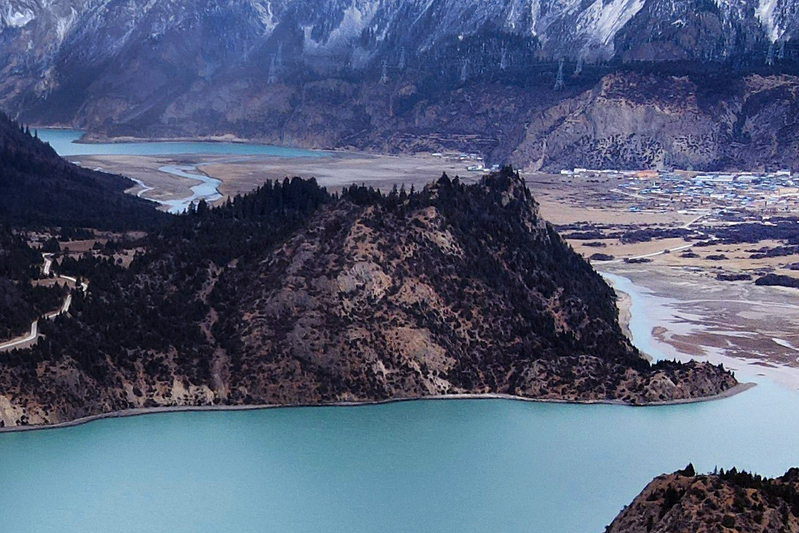
The glacier is the lake’s silent partner. Across the northern arm stands the ice wall of the 来古冰川 Láigǔ Bīngchuān Laigu Glacier, whose meltwater keeps the lake full; viewpoint tracks run up the valley toward the ice, and village homestays at Laigu put guests under the glacier’s snout for the night. On the lakeside itself, gravel beaches, forested slopes and a scatter of stone villages complete the classic composition – a highland fjord built by ice.
What Ranwu really means is the rhythm of the road. Every overland traveler between the lowlands of Nyingchi and the high towns of Chamdo stops here, and the lake sets the plan: an early start for the calm water, a slow morning along the shore, then the climb toward the passes with the whole basin still in view in the mirrors behind. It is the one sight on this stretch of the G318 that nobody skips, and the one that makes the long drive feel earned.
Practicalities
- Ranwu town sits on the G318 between Baxoi and Bomi – overland from Chamdo counts a long day eastbound, while from Bomi or Nyingchi it is the first big lake of the route.
- Dawn and dusk give the calm-water reflections; winds pick up from late morning.
- The lakeshore road has marked viewpoints; stay on them in wet weather, when the gravel softens.
- Nights are cold at 3,850 meters even in summer – book heated rooms in the town in advance for the season.
Words and Names
然乌湖 Ránwū Hú Ranwu Lake, the glacier mirror of the G318; 帕隆藏布 Pàlóng Zàngbù the Palung Tsangpo river the lake feeds; 来古冰川 Láigǔ Bīngchuān the Laigu Glacier across the northern arm; 堰塞湖 yànsè hú a landslide-dammed lake, Ranwu’s type; 八宿 Bāsù Baxoi, the county that holds the lake; 冈日嘎布 Gāngrì Gābù the Gangdise-slope range guarding the south shore. Beyond the glacier mirror, the same 西藏自治区昌都市 Xīzàng Zìzhìqū Chāngdū Shì Chamdo keeps more places worth the detour: 强巴林寺 Qiángbālín Sì the gold-roofed Gelug monastery above two rivers, 卡若遗址 Kǎruò Yízhǐ the Neolithic village site south of town, 孜珠寺 Zīzhū Sì the Bon monastery on its six peaks, or 盐井古盐田 Yánjǐng Gǔ Yántián the ancient salt terraces of the Lancang – four more doors into the same Chamdo. Once the lake is behind you, our Chamdo food map fills the table.
flowcloud would say Ranwu is the G318’s mirror-check: every driver stops, every phone comes out, and the lake doubles the snow mountains so neatly that the drive’s fatigue vanishes for an hour. All checked November 2026.
Getting there: Ranwu town sits on the G318 between Baxoi and Bomi; overland from Chamdo counts a long day eastbound, while from Bomi or Nyingchi it is the first big lake of the Chuanzang line. Dawn and dusk give the calm-water reflections. All checked November 2026.