
竹楼临碧水,渔火共长天。Zhúlóu lín bì shuǐ, yúhuǒ gòng cháng tiān – Bamboo houses face the green water; fishing fires share the endless sky.
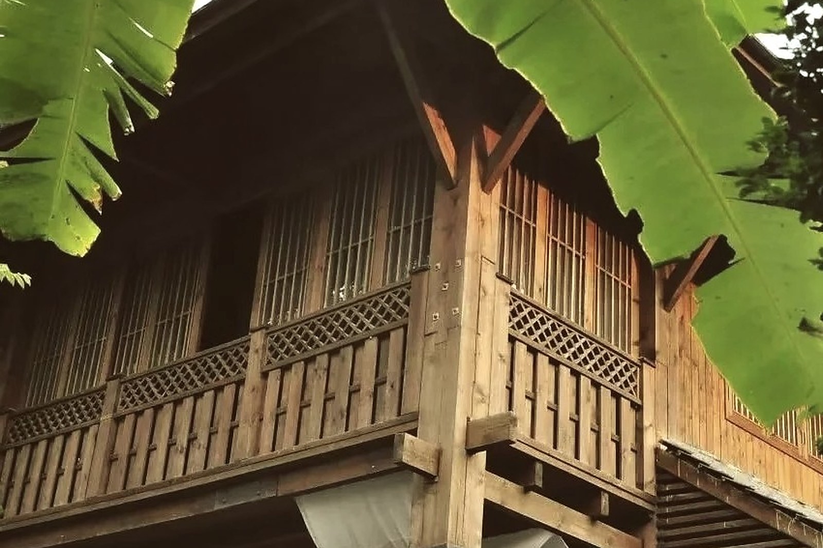
瑞丽江 Ruìlì Jiāng the Ruili River is the water that gives the border city its name – a 伊洛瓦底江 Yīluòwǎdǐ Jiāng Irrawaddy tributary that rises in the 高黎贡山 Gāolígòng Shān Gaoligong Mountains, loops down through 瑞丽 Ruìlì and then turns to form the international boundary with 缅甸 Miǎndiàn Myanmar for a long, lazy stretch. There is no single “gate” to the river: it is a 江岸 jiāng’àn riverine corridor of sandy bars, 傣族 Dǎizú Dai 竹楼 zhúlóu bamboo houses on stilts, and wet-rice fields, stitched together as part of the 瑞丽江—大盈江 Ruìlì Jiāng–Dàyíngjiāng Ruili River–Daying River national 风景名胜区 fēngjǐng míngshèngqū scenic area (a nationally designated landscape, not a fenced ticket booth). The river’s human face is the string of Dai villages along its banks – 喊沙 Hǎnshā Hansha, the best-known, a tidy 村寨 cūnzhài hamlet of gold-tipped 佛寺 fó sì temples and open 奘房 zhuàngfáng village monasteries where you can watch the evening 赶摆 gǎnbǎi market and the slow 打歌舞 dǎgēwǔ circle dances without buying a thing.
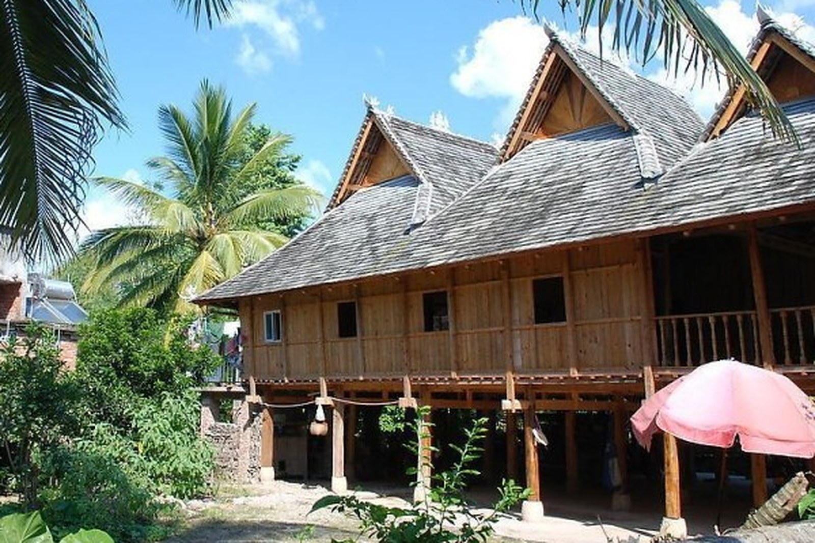
The honest rating is “a free corridor, not a paid sight,” which is exactly its strength. The 瑞丽江—大盈江 Ruìlì Jiāng–Dàyíngjiāng scenic area is a national-level designated landscape, but the river road and the village lanes are open to drive or cycle, and the money is in the villages and the boats, not a turnstile (worth confirming that no new gated river “ecopark” has been tacked on since – border counties love a new gate). Getting here is the Ruili loop itself: from 芒市 Mǎngshì about 1.5 hours east, from 莫里 Mòlǐ a short hop north, and inside 瑞丽 Ruìlì the 江岸 jiāng’àn bank is ten yuan by taxi or e-scooter. A 竹筏 zhúfá bamboo raft or a small 渔船 yúchuán fishing boat can sometimes be hired at the bars for a sunset glide (worth confirming the operator and price; the informal ones are cash and handshake), and the fishing – 撒网 sāwǎng cast-net work at dawn and dusk – is the river’s oldest show.
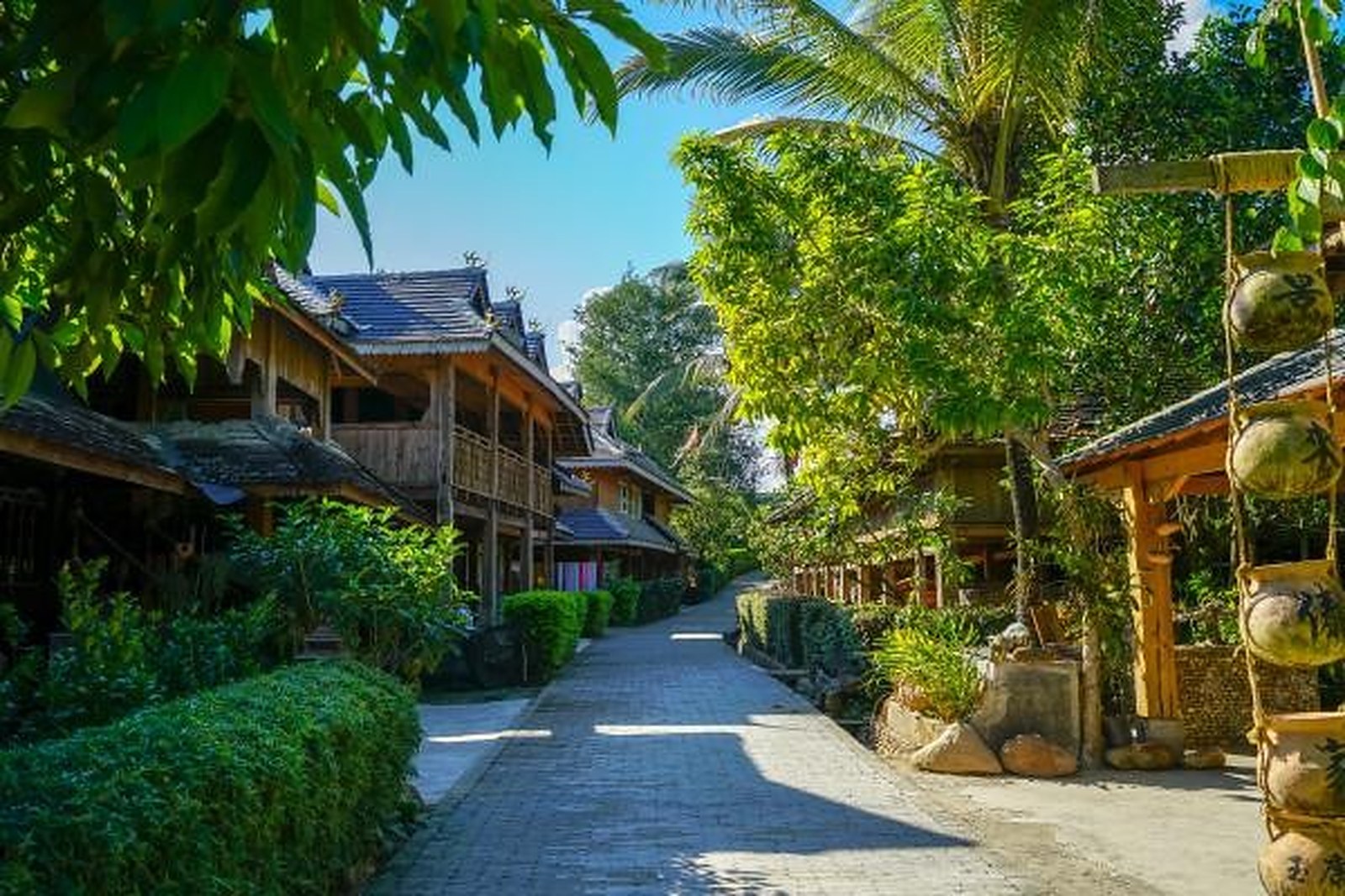
The wry take is that the Ruili River is the prefecture’s most relaxing view precisely because nobody is selling it hard, and the move is to skip any “river cruise” pitch and simply drive the bank at golden hour. What is overrated is the idea of a packaged attraction; what is worth it is 喊沙 Hǎnshā Hansha at dusk, the 竹楼 zhúlóu silhouettes, and the slow 渔火 yúhuǒ fishing-fire light on the water. Season is the dry November-to-April run, when the bars are wide and the light is clean; the rains shrink the view behind cloud and lift the river to brown. Border discipline is non-negotiable here: the far bank is Myanmar, so do not photograph the opposite shore, the 姐告 Jiěgào bridge or any installation, keep your ID ready, and expect your phone to latch onto 缅甸 Miǎndiàn networks – switch off data roaming before you stand on the water. Carry repellent for the river mosquitoes, and treat the evening as the point, not the morning.
Practicalities
- Rating: An open riverine corridor and Dai-village landscape, part of the 瑞丽江—大盈江 Ruìlì Jiāng–Dàyíngjiāng national scenic area; not a fenced, ticketed sight in itself (worth confirming no new gated river ecopark has been added).
- Tickets: Free to drive or cycle the 江岸 jiāng’àn bank and the village lanes; boat or raft hire is informal and cash (worth confirming operator and price); the 喊沙 Hǎnshā Hansha village is free to walk.
- Address: The 瑞丽江 Ruìlì Jiāng bank south and west of Ruili town, Dehong – about 1.5 hours east of 芒市 Mǎngshì; the 喊沙 Hǎnshā Hansha Dai village is the main river-side stop, reachable by taxi or e-scooter from Ruili.
- Time needed: Half a day for the bank drive and a village dusk; a full evening if you linger at 喊沙 Hǎnshā for the market and the dance.
Words and Names
瑞丽江 Ruìlì Jiāng Ruili River · the Irrawaddy tributary and border water that names the city 瑞丽江—大盈江 Ruìlì Jiāng–Dàyíngjiāng Ruili–Daying River scenic area · the national-level designated landscape the river belongs to 喊沙 Hǎnshā Hansha · the best-known Dai riverside village, free to walk at dusk 竹楼 zhúlóu bamboo house · the stilt dwellings lining the river bank 傣族 Dǎizú Dai people · the riverside ethnic group whose villages define the corridor 佛寺 fó sì temple · the gold-tipped Dai temples of the river villages 奘房 zhuàngfáng village monastery · the open Dai monastic hall of the hamlets 打歌舞 dǎgēwǔ circle dance · the evening Dai dance in the village squares 伊洛瓦底江 Yīluòwǎdǐ Jiāng Irrawaddy River · the great river the Ruili feeds 渔火 yúhuǒ fishing fire · the dusk light of the river’s cast-net boats 姐告 Jiěgào Jiégāo · the Ruili port and bridge not to be photographed from the bank
flowcloud would say that 瑞丽江 Ruìlì Jiāng is 德宏 Déhóng’s most relaxing view because nobody sells it – a free 江岸 jiāng’àn corridor of 傣族 Dǎizú 竹楼 zhúlóu and 喊沙 Hǎnshā at dusk – and that the honest move is to drive the bank at golden hour and skip the “river cruise” pitch, because the far shore is Myanmar, the phone will grab 缅甸 Miǎndiàn signal, and the 渔火 yúhuǒ is the whole point. All checked October 2026.
Getting there: 瑞丽市 Ruìlì west and south, where the 瑞丽江 Ruìlì Jiāng forms the border – the riverside Dai villages of 喊沙 Hǎnshā and 弄岛 Nòngdǎo are about 15-25 km from the city by taxi or the county bus (worth confirming the boat or raft hire and any new gated ecopark); the honest view is the dusk over the water from the 喊沙 Hǎnshā temple lane, because none of the stock shots actually show the river. All checked October 2026.