
Sayram Lake: The Last Place the Atlantic’s Damp Winds Reach, Blue in a Way the World Should Not Own
雪山环抱一湖蓝 Xuěshān huánbào yī hú lán – Snow peaks cradle one blue lake
Sayram Lake Sàilǐmù Hú sits in a high mountain basin of 博尔塔拉蒙古自治州 Bó’ěrtǎlā Měnggǔ Zìzhìzhōu Bortala Mongol Autonomous Prefecture at 2,071 metres – Xinjiang’s highest and largest alpine lake. The Atlantic’s moist winds cross a continent eastward and end here, which is why people call it 「the last teardrop of the Atlantic」. The teardrop is unreasonably blue: on clear days the surface runs a gemstone blue close to unreal, the shallows along shore grade into pale mint, snow-peak reflections lie across the middle of the water, and when a cloud moves, the whole lake changes its blue.
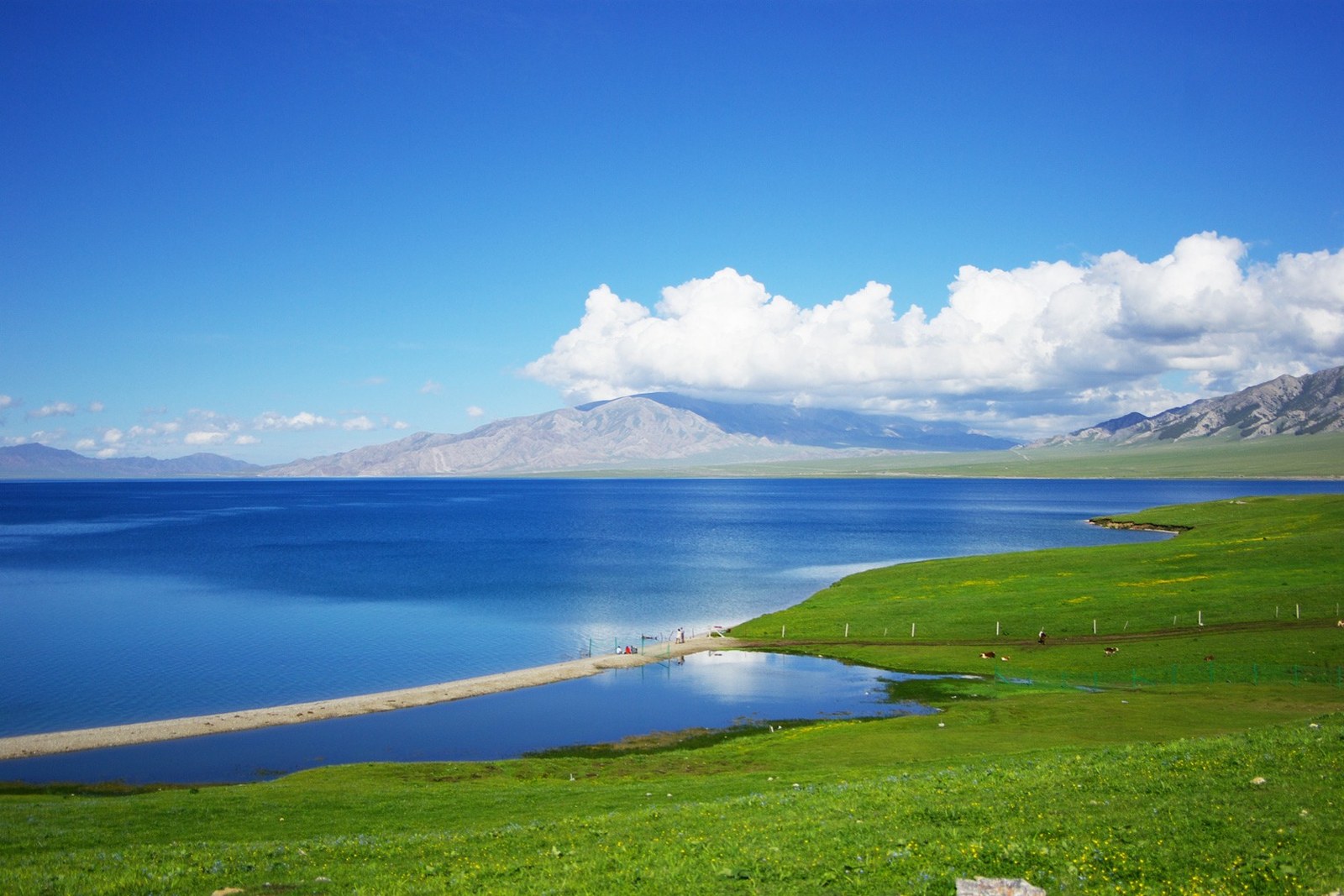
Arriving from the Ili side over Guozigou bridge is the most theatrical approach: the deck hangs above the valley, one turn and the lake spreads unannounced into the windshield, and every car involuntarily says 「wow」. The bridge is a landmark in itself – Xinjiang’s first cable-stayed span, steel towers tall in clouds that stream beneath the deck – and many travelers budget half an hour at the head-of-bridge viewing platform before driving on.
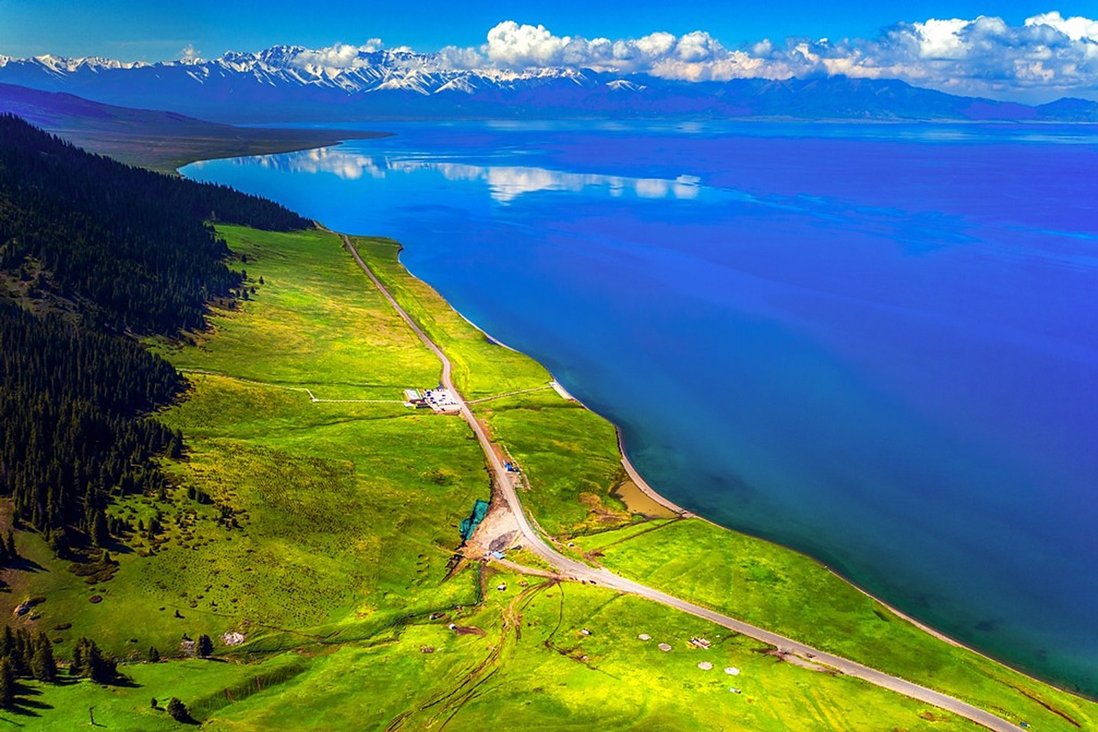
The lake loop runs just over ninety kilometers, with the G30 expressway brushing the south shore, so drivers can duck into lakeside viewpoints at will. From May into June the western meadows fill with wildflowers – gold lotus in yellow, iris in purple – and herders’ yurts pitch between flower sea and water, sheep scattered like snow crumbs on a green carpet. After July the bloom fades while the water deepens; by October the peaks wear snow again and the lake turns a cold, cutting blue-green – a different animal entirely.
The ecology deserves its own chapter: this was once a cold-water fish trial ground, and researchers spent twenty-odd years building a natural population of peled whitefish here, which now supports the winter fishing festival, the lake’s winter headliner. On the lakeside steppe stand rows of aobao cairns and prayer flags – Mongol herders sacrifice to the lake spirit every summer. For locals this water is not scenery; it is a way of life.
The color changes several rounds a day: blue-grey at dawn, textbook gemstone blue at noon, then a gold-red sheen toward sunset. Local photographers keep a 「blue-chasing formula」 – the higher the sun, the bluer the lake; the lighter the wind, the truer the reflection. The only way to collect every shade in one visit is to sleep at the lake and slide slowly along the shore from first light to last.
Winter is Sayram’s quietest setting: the surface freezes, and blue ice and bubble ice glow like a vast sheet of frosted glass, visitors scarce, wind the only sound. On a clear day the blue ice under snow peaks makes a screensaver of every casual shutter. The altitude and wind show no tenderness – even in summer, pack a heavy jacket for mornings and evenings.
Practicalities first: entrance ticket and shuttle are priced separately; in the off season private cars may drive the loop road themselves, while in high season parking is at the visitor center with shuttle transfer. The wind is strong enough to lean a tripod – wear a down jacket for sunrise shoots. Food inside the scenic area is limited and pricey, so stock provisions in Bole or Yining before entering. And carry spare camera batteries: cold drains them fast, and the scenery does not wait.
Across the lake, a track climbs the Keguqin Shan side; from above, the lake’s outline reads as a blue teardrop cupped in snow hands. The slopes are Kazakh summer pasture – horses grazed across the gentle gradients, herders waving from the roadside – people long since accustomed to living with a lake.
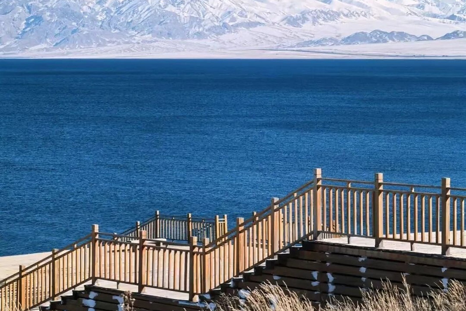
With time to spare, split the loop into two days: clockwise along the south and west lines for bays and flower meadows on day one, then the north and east lines for boulder shores and sunrise points on day two. Fuel and supplies are sparse on the circuit – start with a full tank and ample water – and phone signal flickers on the east and west shores, where an offline map beats the live one.
Every June the lakeshore hosts a Naadam-style steppe festival: horse racing, wrestling, and the girls’ chase in rotation, herders converging until the yurts form a white city. Festival visitors get the full Mongolian protocol – toasting songs, horsehead fiddle, long song, one after another. On ordinary days herders offer horseback rides along the shore; the perspective shift from road to saddle gives the blue a new depth. Do not sleep on the drive back to Bole: Guozigou’s sunset, the pass’s evening clouds, and the gobi’s last gold are all closing this lake trip for you.
Even the name has layers: 「Sayram」 is a Kazakh transcription, while Mongol herders say 「Sayram Nur」, 「the lake on the spine of the mountains」. The Qing stationed banner farms on the shore, and Republican-era maps labeled it 「Santai Haizi」 – today’s Santai tourist town inherits the old post-station name. Soundings have exceeded ninety metres, and the underwater world remains unmapped – springs, hidden channels, and ancient shorelines behind the blue curtain, one more filter of mystery on this lake.
Practicalities
Beyond the lake, the same 博尔塔拉蒙古自治州 Bó’ěrtǎlā Měnggǔ Zìzhìzhōu Bortala Mongol Autonomous Prefecture holds other sights: 怪石峪 Guàishíyù Guaishiyu, 阿拉山口国门 Ālāshānkǒu guómén the Alashankou gate, 哈日图热格 Hārìtùrègé Hazireteg, and 圣泉景区 Shèngquán jǐngqū the Sacred Spring scenic area – four more doors into the same 博尔塔拉蒙古自治州 Bó’ěrtǎlā Měnggǔ Zìzhìzhōu Bortala Mongol Autonomous Prefecture. With the lake light seen, our Bortala food map fills the eating hours.
Practicalities
Words and Names
flowcloud would say Sayram Lake is the ceiling of Xinjiang’s loop roads: one lake, ninety kilometres, a dozen viewpoints, and every pull-off frames a postcard.All checked November 2026.
Getting there: The lake lies about ninety kilometres west of Bole on the G30 expressway, which has a dedicated lake exit; self-drive is easiest and the shoreline road links a dozen viewpoints, while seasonal buses from Bole and the Ili side stop at the Santai tourist town – the lakeshore sits high and windy, so carry a warm layer even in summer. All checked November 2026.