
石笋山 Shísǔn Shān, the Shisun Mountains, present a striking karst landscape in 永川区 Yǒngchuān Qū, Yongchuan District, where limestone pillars and peaks rise abruptly from a flat valley floor like a stone forest grown out of the ground. Between the formations lie caves, sinkholes and stretches of underground river, and the rocks themselves carry fossils of ancient marine life laid down millions of years ago; the hiking trails connect the principal peaks, and the viewpoint platforms take in the farmland below and, on clear days, the distant ranges beyond. This page is the pillars, the caves and the quiet that sets the place apart.
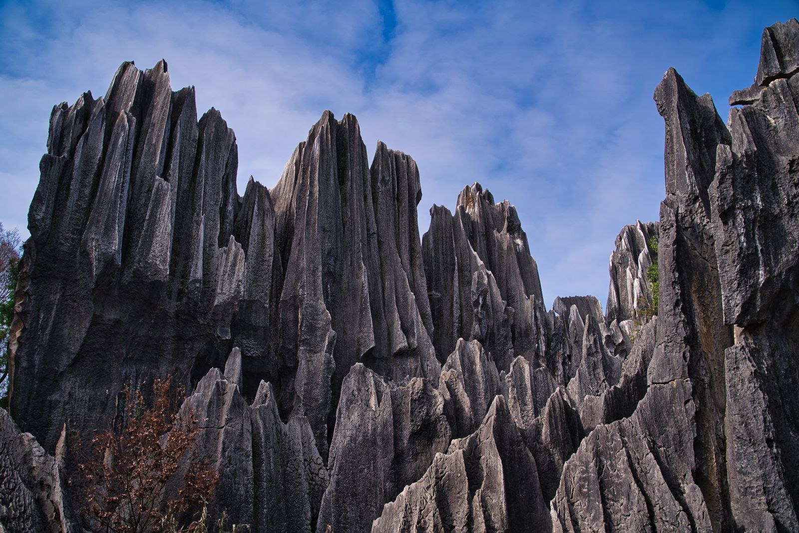
The pillars are the mountain’s argument, and they read as geology before they read as scenery. The limestone here was sea floor once, and the fossils embedded in the rock are the record of that older ocean – the district’s own note is that the formations preserve ancient marine life in the stone. Weather and water did the rest over millions of years, leaving the tall bamboo-shoot shapes the name 石笋 (stone bamboo-shoot) describes, standing in clusters where the valley floor should be flat. The first sight of a pillar field from the trail is the visit’s hinge: the ground goes from field to forest of stone without warning, and the scale only lands when a walker stands at the base and the rock goes up out of frame.
The caves are the mountain’s second half, and the boardwalks make them walkable. The developed caves carry lighting and pathways through chambers of stalactite and stalagmite, the underground river audible in the dark before it is seen, and the walkways let a visitor stand inside the geology rather than only beneath it. The hiking trails run the ridgelines between the peaks and link the viewpoint platforms, each one a different read of the farmland and the folded ranges; on a clear day the distant ranges show on the horizon, and the local tourism board has set interpretive displays along the routes explaining the processes that built the landscape. What the record supports is the karst pillar landscape, the caves and underground river, the marine fossils in the limestone, the connecting trails, the viewpoint platforms and the interpretive signage; what it does not support is any ticket figure, any posted hours table or any founding date, and none is invented here – the gate posts its own rate and season, and the page leaves the reader to them rather than quoting a number it does not have.
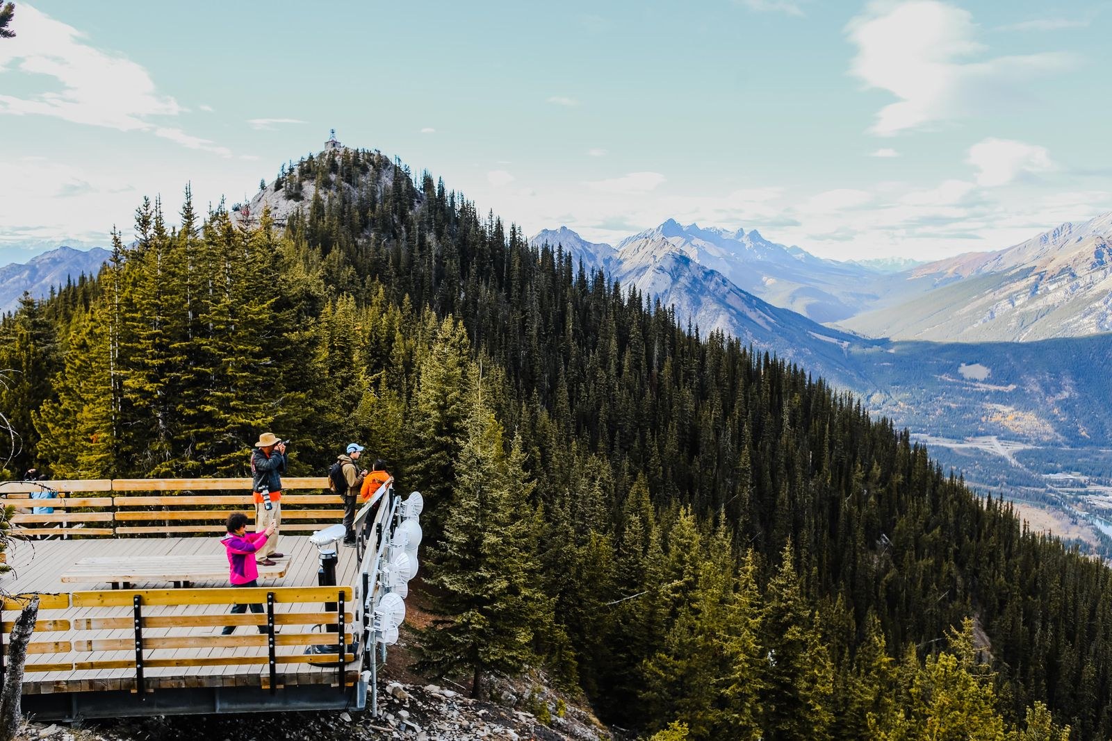
The viewpoint platforms are the mountain’s payoff and its best argument for the slow walker. From the rail at a summit the whole karst country opens – the pillar fields below, the farmland in patches between them, the folded green ranges stepping back into haze – and the photographic read is the one the interpretive signs are written to explain. The trails between the platforms are the day’s work, and the honest pace is the one that stops at each rail; the mountain is quieter than the famous karst landscapes further north in Guizhou, and that quiet is the thing the district is selling, a geology walk without the coach-load crowds.
Give the mountain the half day or the full day the trails ask for, and let the caves take the warm hours. The developed walkways keep the underground safe and lit, the ridgeline trails keep to the daylight; the mountain keeps no gated secret beyond its own gate, and the only thing the record does not carry is a figure worth quoting for entry or a posted hours table, both of which the page declines to invent. The honest shape is the qualitative one – a karst landscape of this rank with its rate card at the gate and its own daylight clock – and the visit that suits it is the uncrowded one, because the quiet is the mountain’s whole point and the Guizhou crowds are the comparison it is happy to avoid.
Words and Names
石笋山 Shísǔn Shān, the Shisun Mountains, in 永川区 Yǒngchuān Qū, Yongchuan District: a karst landscape of limestone pillars and peaks rising from a flat valley floor, with caves, sinkholes and an underground river, the limestone carrying fossils of ancient marine life, the principal peaks linked by hiking trails and viewpoint platforms overlooking the farmland and, on clear days, the distant ranges. No ticket figure, posted hours table or founding date is on the record consulted, and none is invented here; the gate posts its own rate and season.
What the Locals Know
The local knowledge is the haze and the crowd. The cool mornings lay haze between the pillars and make the stone forest photograph, and the locals climb early for exactly that window before the day visitors arrive; the clear days that reveal the distant Wuling Mountains are the rarer prize, and the viewpoint platforms belong to whoever times the ridge walk to them. The caves keep their own lit hours and the trails keep to daylight, and the page declines to quote any timetable it does not have. The mountain’s whole advantage is its quiet against the famous karst further north, and the local’s move is the off-peak one – a weekday ridge walk beats a weekend pillar field every time.
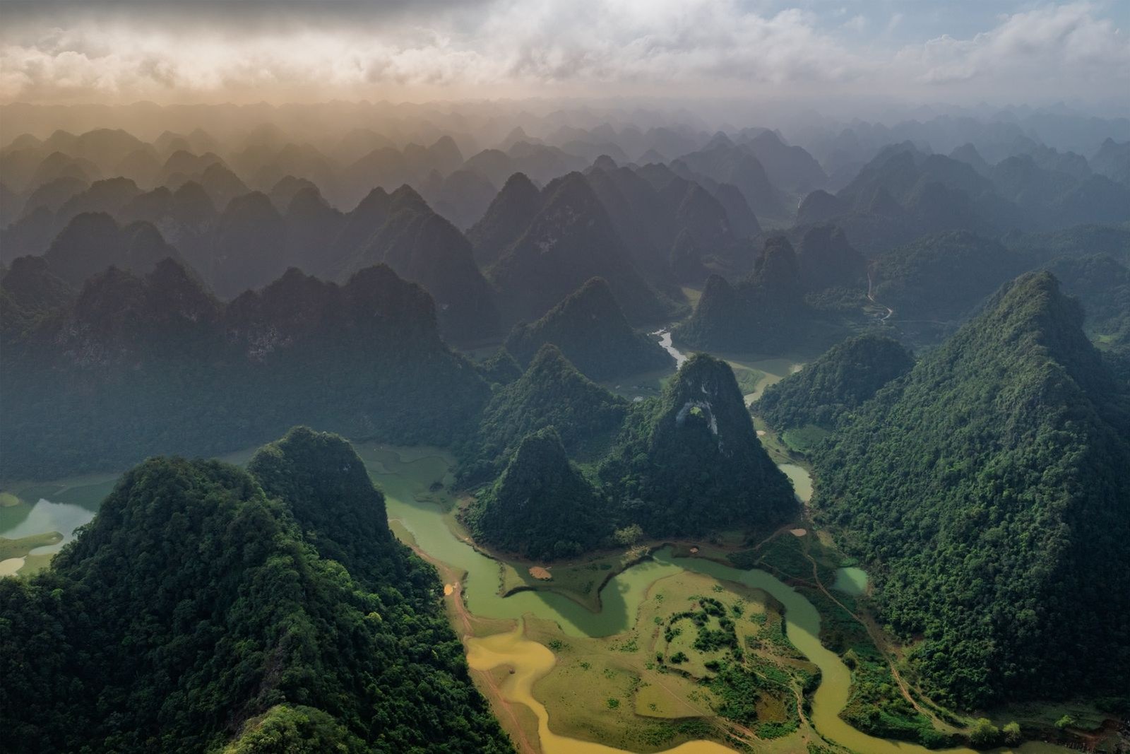
flowcloud would say that the Shisun Mountains are the district’s quiet geology – limestone pillars rising from a flat valley floor, caves and an underground river beneath them, marine fossils in the stone and viewpoint platforms over the farmland – and that the correct visit is the uncrowded one, because the mountain’s whole point is the quiet it keeps against the famous karst crowds further north. All checked October 2026.
Practicalities
Tickets: The mountain is a gated karst landscape; the gate posts its own rate and season, and no ticket figure is on the record consulted, so the page declines to quote one. The trails and viewpoint platforms are inside that gate. Opening hours: Daylight as the working norm – the ridgeline trails keep to the sun and the developed caves keep their own lit hours. No posted hours table is on the record consulted; the honest clock is the daylight’s, with the cool mornings that lay haze between the pillars the hours the page recommends. Closing day: None posted – a karst landscape of this rank does not close its weeks, and no published rest day is on the record consulted. The only variable is the weather: heavy rain closes the boardwalks for safety, which is a postponed walk rather than a cancelled one.
Getting there: the mountains lie in the karst countryside of 永川区 Yǒngchuān Qū, Yongchuan District, reached by road from the district seat with the trailheads and cave entrances signed from the approaches; no ticket figure, posted hours table or founding date is on the record consulted, so none is invented here. Pair this page with the yongchuan-city-hotels page in the stay column for the base in the district seat, and the teabamboo-mountain page for the district’s green headline.