
五桂山 Wǔguì shān is the only true mountain system 中山市 owns, and the city is built around the fact: a single range across the centre-south, twenty-six kilometres wide at its north end and fifteen at its south, roughly 300 square kilometres of folded green holding named peaks like 卓旗山 Zhuó qí shān, 大尖山 Dà jiān shān and 南台山 Nán tái shān. The main peak stands 531 metres – the highest point in the city, with the television mast on top – and before 1925 the whole city was called something else, and it took that name from this mountain: the county founded here in 1152 was 香山 Xiāng shān, the Fragrant Hills, renamed Zhongshan in the year of Sun Yat-sen’s death.
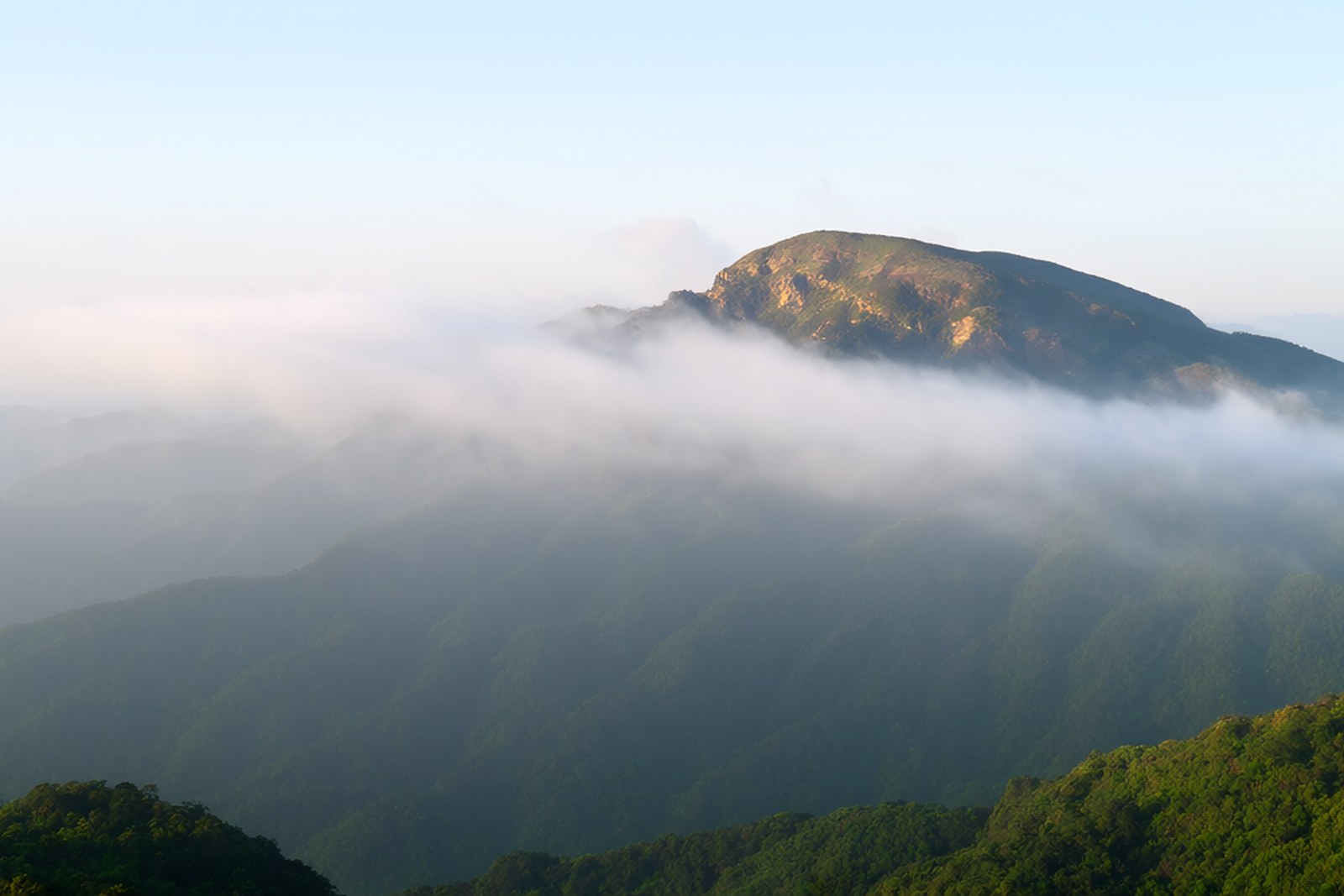
Why “fragrant” has two answers, and the mountain keeps both. The official one is what the city archives print, from the Song geography Taiping Huanyu Ji: “the Xiangshan of Dongguan county lies three hundred li south across the sea; the land has many immortal flowers, and so it is called Fragrant Hills” – an island in the Lingding estuary, its hills crowded with flowering plants out of legend, and the county of 1152 taking its name from the mountain the island was. The popular one is perfume of a tradeable kind: one account holds the hills were named for the incense tree, the agarwood that grew here in quantity and travelled as tribute in the Song dynasty; by that account more than half the country’s wild agarwood grows in these three hundred square kilometres, and the name ran on down the coast – the incense settlement, Xiangzhou, and the fragrant harbour that became Hong Kong. The archives keep a polite distance from the second version, and both belong in the visitor’s head, because the mountain smells of both.
The ecology and the history stack in the same hills. Zhongshan became a national forest city in 2018, and the Wugui area carries its densest woodland – more than 160 recorded plant species including enkianthus, azaleas and black tree ferns, sixteen nationally protected plants, ten forest parks and one provincial nature reserve in the wider zone, figures from promotional summaries, to be read as such. The red history is on firmer ground: guerrillas opened a base in these mountains in 1942, a county administration was set up at Shiyingqiao village in 1944, and in January 1945 the first detachment of the Pearl River Column made its headquarters in the Gu family ancestral hall below 槟榔山 Bīng láng shān – the hall stands at the edge of the Free-and-Easy valley today, with a martyrs’ memorial in front of the village. The peak itself entered the local canon long ago: Five Gui Peak is one of the ten classic views of Zhongshan, a title from a local selection rather than a national award.
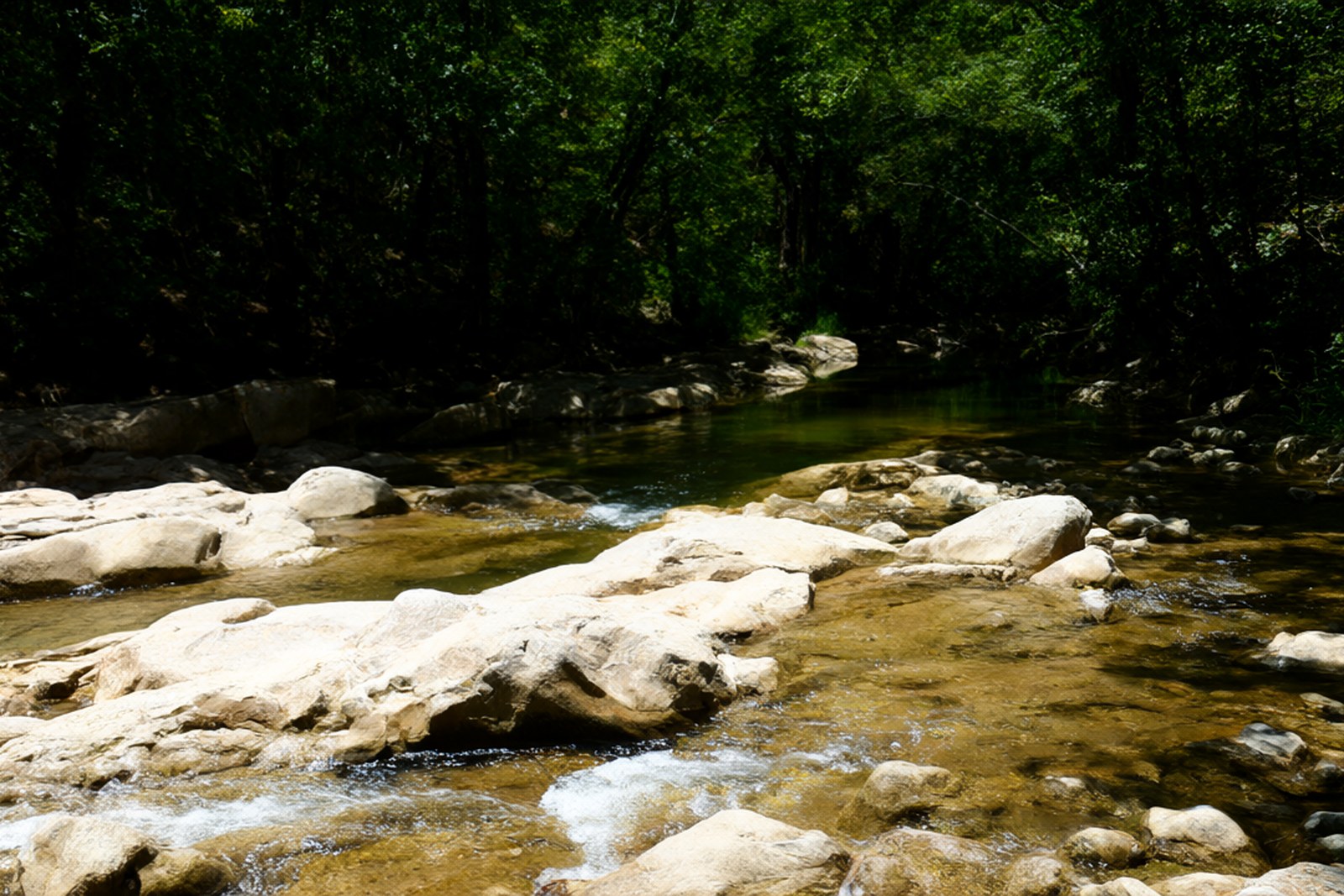
Three walks cover most visits. 逍遥谷 Xiāoyáo gǔ, the Free-and-Easy valley on the Binglang mountain road, is the paid one – a 35-yuan forest park with a silver-stone stream trail, spring-fed pools, a mean temperature about five degrees below the city’s and more than 610 recorded plant species; the platform rating hovers at three and a half stars, which is fair: it is a low-cost country forest walk, not a spectacle, with the Pearl River Column hall at its edge. 田心公园 Tián xīn gōngyuán, free, open eight in the morning to midnight, circles the Tianxin reservoir on a greenway through secondary forest and is the locals’ evening constitutional. The main peak needs no ticket: the climb runs up a cement road, under two hours at a stroll with pauses, to the mast and a view over the whole estuary plain – and 大尖山 park on the range’s flank is the city’s favourite formal climb.
The incense trade is a living one, whatever the antiquity of its claims: the range holds more than 10,000 wild agarwood trees today, the valley of 石井坑 Shí jǐng kēng keeps the largest known wild agarwood population in the country, some four million more have been planted, and in 2011 the city was titled China’s home of agarwood. Walkers meet the tree without knowing it – a grey-barked evergreen of the middle slopes, unremarkable until you learn that the resin the old trade priced is the tree’s answer to a wound.
Practicalities
Tickets. The mountain itself is free, and so is Tianxin Park. Xiaoyao Valley lists 35 yuan for adults – a three-person ticket at 105 on the platform – with children under 1.2 m, visitors over 65, serving military and disabled visitors free; older guides quoting 20 yuan describe an earlier price. Checked September 2026; floating, and the ticket phone is 0760-23378988.
Opening hours. Xiaoyao Valley opens 8:30 to 17:30; Tianxin Park keeps 08:00 to 24:00; the main-peak road is a public way best walked in daylight. None of the three is staffed late, and the valley’s pools close with the ticket window.
Closing day. No closing day is reported for any of the three. What closes the mountain is weather – after heavy rain the streams swell and the trails slick, and in the summer wet season a morning can be written off to cloud without warning.
Getting there. The distances are short – about 12.8 km from the city centre to the Wugui area, 11.5 to Xiaoyao Valley and 15.5 to Tianxin Park – but buses into the mountains are sparse, so self-driving or a taxi is the practical way; the road in runs off the city’s south outer ring. Cuiheng and the Sun Yat-sen museum lie thirty to forty minutes east on a map estimate, which makes a two-stop day workable.
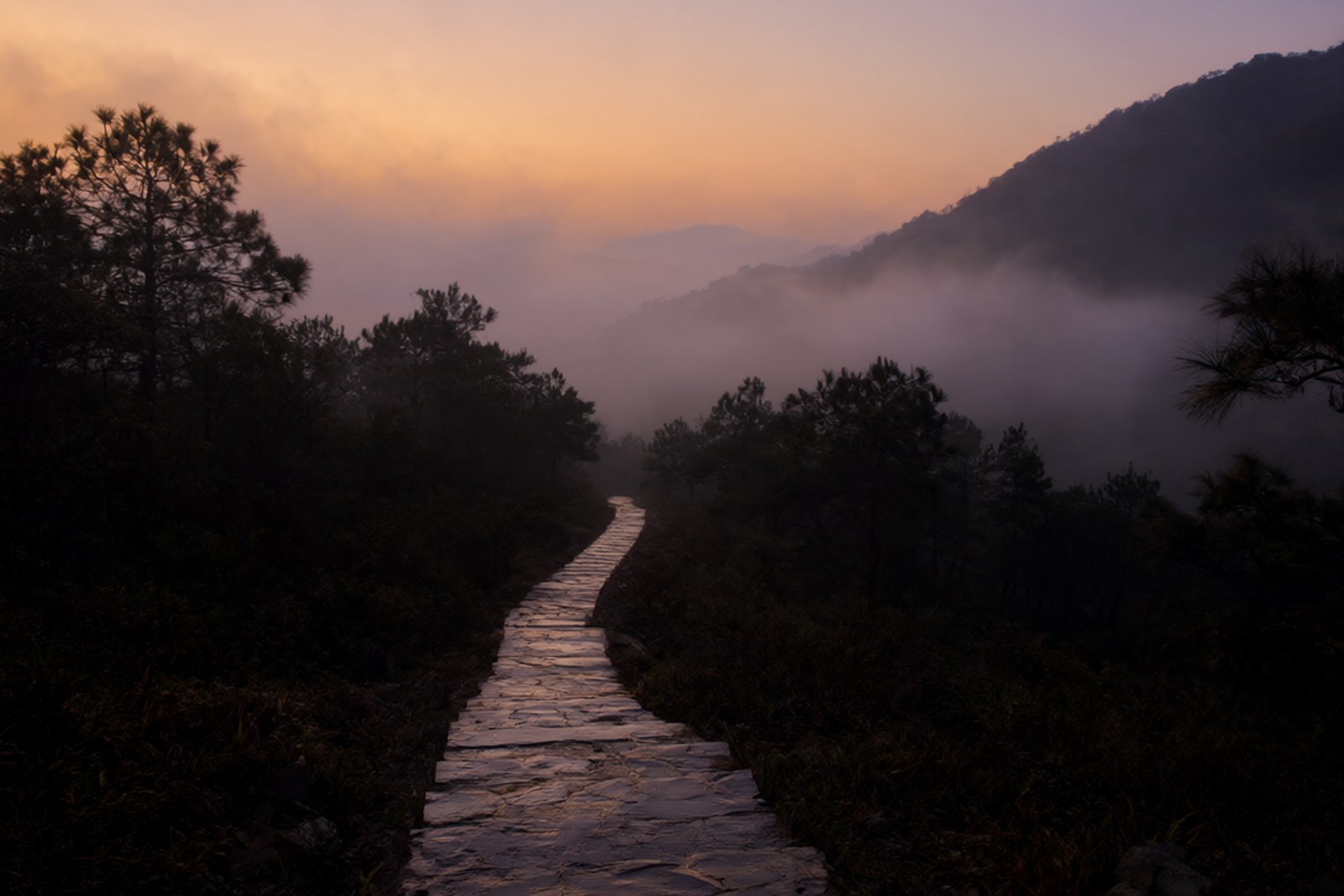
flowcloud would say that a city which took its name from flowers on a mountain and then grew a manufacturing belt around it has left the mountain precisely as an excuse – five hundred and thirty-one metres of it in the middle of everything, free to climb, holding the country’s biggest known wild incense grove in one fold and a guerrilla headquarters in another – and that any city with an excuse like that inside half an hour of its ring road should be climbed more often than it is.
Getting there: 五桂山 runs across the centre-south of 中山市, about 12.8 km from the city centre with Xiaoyao Valley at 11.5 km and Tianxin Park at 15.5 km; Xiaoyao Valley lists 35 yuan and opens 8:30 to 17:30, Tianxin Park is free from 08:00 to 24:00, and the main peak is a free climb of under two hours, with no closing day reported for any of them (checked September 2026); buses are sparse in the hills, so self-driving or a taxi is the practical way, and Cuiheng lies thirty to forty minutes east on a map estimate.