
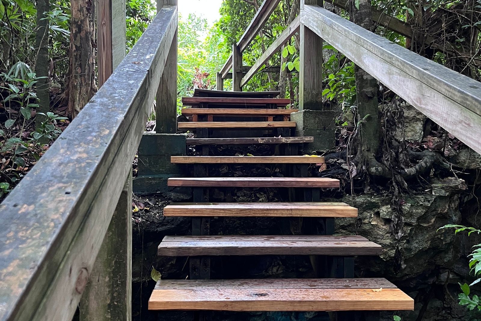
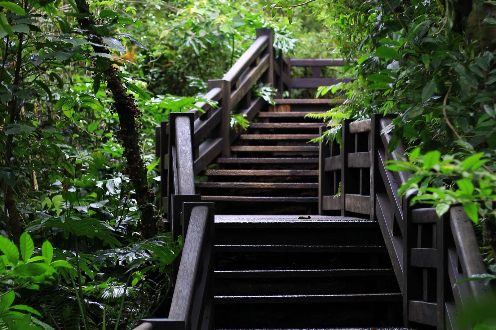
The staircase starts as timber and gets steeper. It is cut into a slope that is already inside cloud, so the light is flat and green, the steps are slick with the rain of two days ago, and the handrail is a rope threaded through iron eyes set into the rock. There are roots crossing the treads and there are 桫椤 suōluó, tree ferns, standing on both sides of the path with their fronds opening above head height, which is a plant that was already old when the dinosaurs were young. Nobody talks much on the way up. An hour in, you stop sweating, because you have climbed into the layer of the mountain where the air is permanently damp and about eight degrees cooler than the town below, and you notice that the cloud is no longer above you but level with you, drifting through the trees in ribbons. Then the staircase stops, the forest opens, and there is nothing but white in every direction. This is the summit ridge of 五指山 Wǔzhǐshān — the Five-Finger Mountain — and at 1,867 metres above sea level, its second peak is the highest point in Hainan.
The mountain is five peaks in a row, running south-west to north-east over about fifteen kilometres, close enough together at the top to look from a distance like a hand held up. The first peak is a pyramid of about 1,780 metres; the second, immediately behind it, is the true summit at 1,867 metres and stands up like a rock column. Beyond it the third, fourth and fifth peaks sit along the ridge at roughly 1,560 metres each, and between the second and third there is a gorge with no route through it, which is why the classic traverse follows the ridge instead of the gaps. The climb from the first peak to the second is made over a rounded boulder the locals call 天桥 tiānqiáo, the sky bridge, and it is the part of the mountain that asks for hands as well as feet. From the second summit on a clear morning you are supposed to be able to see the South China Sea, which is a claim worth treating with the same caution as any other summit view, though the island does narrow sharply to the south-east and on the right day the line of haze where the sea begins is unmistakable.
Practicalities
Before the real mountain, there is an easier version of it. The 水满河热带雨林风景区 Shuǐmǎnhé rèdài yǔlín fēngjǐngqū, the rainforest scenic area on the mountain’s northern flank, is built around a three-kilometre boardwalk through primary forest with a viewing platform that faces all five peaks head-on, and it is where the photographers go. The boardwalk passes a stand of tree ferns, the woven basket-plants locals call 空中花篮 kōngzhōng huālán, a lychee tree said to be a thousand years old, and a granite outcrop shaped like a turtle with a folk story attached. This is a walk of an hour at an easy pace and it does not require fitness. The summit climb is a different undertaking altogether and should be treated as one.
Tickets. The scenic area charges ¥50 in the high season from 1 October to 30 April and ¥42 from 1 May to 30 September, with half-price tickets for students and seniors; a shuttle inside the area costs a little extra. Climbing the mountain itself is arranged at the 五指山国家级自然保护区 Wǔzhǐshān guójiājí zìrán bǎohùqū entrance in 水满乡 Shuǐmǎn Xiāng, and transport up the access road is part of the arrangement.
Opening hours. The scenic area runs roughly 08:30 to 17:00 and the gate closes firmly, since the boardwalk is unlit and the mountain has no lighting at all. Anyone heading for the summit should be at the trailhead by first light, and the standard advice is to be off the ridge by mid-afternoon, because cloud in the afternoon on this mountain is not a mood, it is a navigational problem.
Closing day. There is no closing day. The mountain is open year round and closes only for typhoon warnings and, occasionally, for heavy rain that makes the upper staircase unsafe. The dry, cooler months from November to April give the best chance of a view; the wet months from May to October give you the rainforest at full volume and almost no visibility.
Getting there. 五指山 Wǔzhǐshān is about twenty kilometres and forty minutes by car above 五指山市 Wǔzhǐshān Shì, on the road to 水满 Shuǐmǎn; from 三亚 Sānyà the drive is roughly ninety-five kilometres, and from 海口 Hǎikǒu about two hundred and fifteen. There is no bus to the trailhead and no taxi waiting at the top, so either drive or book a return.
flowcloud would say that Hainan’s highest point is the least beach-like place on Hainan, and that anyone who comes up here expecting a view has misunderstood what a cloud forest is for.
Getting there: wear shoes with tread, carry water and a rain shell even in the dry season, start early, and give yourself the option of turning back. Most people who fail to reach the second peak do so because they started at ten o’clock and met the cloud coming up the other way.