
灯楼角 Dēng lóu jiǎo is the southernmost point of the Chinese mainland, a low headland at the end of a narrow spit in 角尾乡 Jiǎo wěi xiāng, 徐闻县 Xúwén xiàn, and it is the place where the 琼州海峡 Qióngzhōu hǎi xiá and the 北部湾 Běibù Wān meet. What that means on the ground is a line of disturbed water. The strait runs on the east side of the point and the gulf on the west, the two flow in different directions and at different rates, and where they come together off the headland they stand against each other in a visible seam with a change of colour across it, which the county calls the 合水线 hé shuǐ xiàn, the line where the waters join.
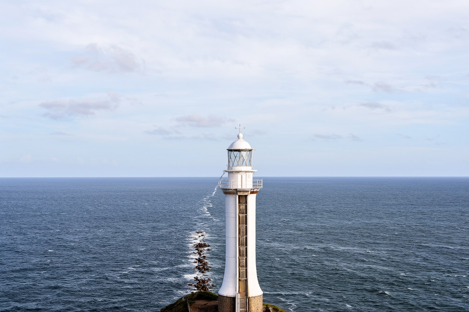
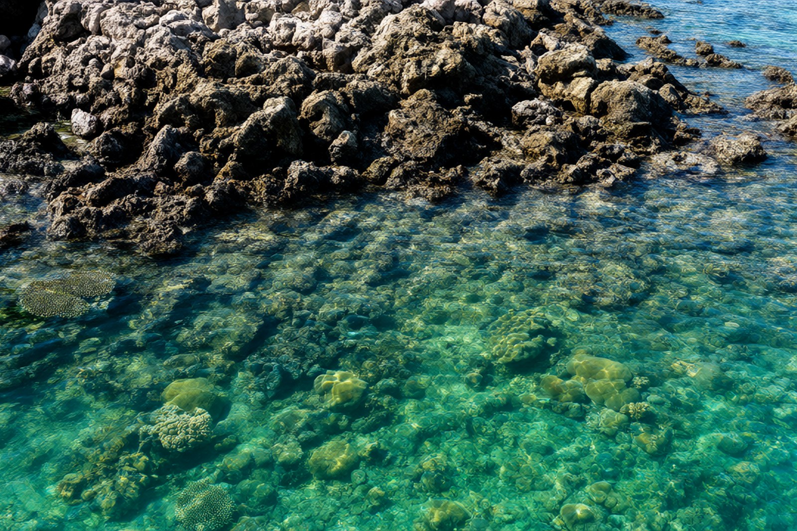
The point itself is dark rock with a lighthouse above it, and the tower there now is a modern one standing where an earlier light was kept, above a beach of coral rubble rather than sand, because this whole coast is reef. 徐闻 has the largest fringing coral community on the mainland shore, protected since 2003 as the 徐闻珊瑚礁国家级自然保护区 Xúwén shān hú jiāo guó jiā jí zì rán bǎo hù qū, a hundred and forty-odd square kilometres of reef with dozens of coral species in it, and low tide on the point is as good a place as any to see what a reef looks like with the water off it. The county has built the end of the peninsula up as 南极村 Nán jí cūn, the South Pole Village: guesthouses in the old fishing houses, a marker at the point with the latitude on it, and the lighthouse painted red and white for the photographs. It is a small place and it works because of what is around it rather than for anything on it.
The other half of the story is historical and it is the more surprising. A few kilometres back up the coast at 五里 Wǔ lǐ and 二桥 Èr qiáo are the 大汉三墩 Dà hàn sān dūn, three small islands in a shallow bay which the county identifies with the 徐闻古港 Xúwén gǔ gǎng, the old port of 徐闻. In the Han dynasty this was one of the departure points of the maritime route to the southern seas: the 汉书 Hàn shū records an embassy that sailed from 徐闻 and 合浦 with ships, interpreters and trade goods for the countries of the south, the earliest documented sea route out of China, and the archaeologists have since found Han pottery, coins and building foundations in the bay. The site is now a park with a causeway out to the islets, a reconstruction of a Han harbour, a museum and the three mounds themselves, and it is about half an hour from the lighthouse by road, which makes a natural pair with it.
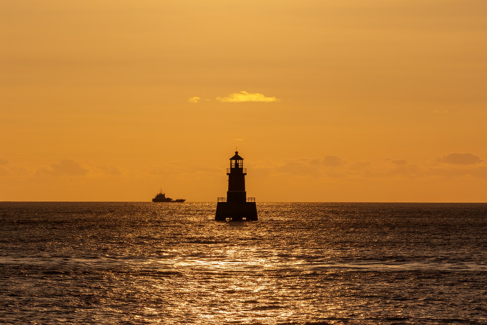
The rest of what surrounds it is the county. North of the point the road runs up through 曲界 Qūjiè and the 菠萝的海 bō luó de hǎi, the sea of pineapples, an hour away, and then to the old prefecture town of 雷州 an hour beyond that; between them are the salt pans, the belts of casuarina planted to hold the drifting sand, and the 北运菜 fields whose vegetables leave for the northern cities by truck. The point is a place to arrive at the end of a day rather than the start of one, because the light is the reason for it: the sun goes down over the gulf on the western side while the strait on the eastern side is still bright, so that for half an hour the two halves of the horizon are different colours. Come at low tide and you can walk out onto the flat and off the end of the country, with 海南 somewhere over the water to the south.
Practicalities
Tickets. The headland, the lighthouse and the 合水线 are free. The 大汉三墩 park and its Han harbour reconstruction charge about ¥30, and boat trips out to the reef are ¥80 to ¥200 a person depending on the boat and the length of the run.
Opening hours. The headland is open all day and all night, and the best light is in the hour either side of sunset. The 大汉三墩 site keeps roughly 08:00 to 18:00 and the museum inside it roughly 09:00 to 17:00. Half a day covers the point and the Han site together; a full day covers them with the coral and the fields.
Getting there. 徐闻站 Xúwén zhàn on the 深湛 high-speed line is at the north of the county, and 灯楼角 is about an hour and a half south of it by road, with 徐闻港 Xú wén gǎng and the ferry to 海口 between the two. There is no bus to the point worth relying on, so a car or a hired taxi is the practical way; 湛江市 is about two and a half hours north and 雷州 about an hour. The last stretch is a single-lane road along the spit with water on both sides of it.
Closing day. There is no closing day. The headland is open every day of the year and is at its busiest over the October week and the Spring Festival, when the guesthouses at 南极村 fill; the museum at the Han site closes on Mondays.
flowcloud would say that a country’s southernmost point, with nothing on it but a lighthouse, a line in the water and three small islands that were once a harbour, is a good illustration of how much of a place’s importance is decided by the century you happen to look at it in.
Getting there: 灯楼角 is at the end of a single-lane spit road in 角尾乡, 徐闻县, about an hour and a half south of 徐闻站 on the 深湛 high-speed line and two and a half hours from 湛江市; the 大汉三墩 Han harbour site is half an hour back up the coast on the same road.