
The Yarlung Tsangpo Grand Canyon — the Deepest Gorge on Earth
一江劈山万仞深,雪峰回抱大拐弯 Yī jiāng pī shān wàn rèn shēn, xuěfēng huí bào dà guǎi wān – One river cleaves the mountains five kilometers deep; snow peaks embrace its great horseshoe bend
雅鲁藏布大峡谷 Yǎlǔzàngbù Dà Xiágǔ The Yarlung Tsangpo Grand Canyon announces itself quietly. From the road above 派镇 Pàizhèn Pai town the great river looks like any broad highland stream, braiding across gravel bars with willows and barley fields along its banks; then the valley walls begin to close, and the water turns from pale green to a deep, urgent teal as the river gathers itself for the descent into the deepest gorge on earth.
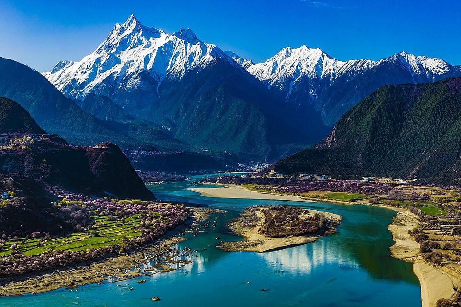
The gorge wraps around the massif of 南迦巴瓦峰 Nánjiābāwǎ Fēng Namcha Barwa in the great bend that maps of Asia draw with a circled arrow. What follows is the greatest vertical drop of any river on the planet: over the length of the gorge the water falls through a gap measured not in hundreds but in thousands of meters, slicing between the eastern Himalaya and its northern ranges and compressing alpine meadow, conifer forest and subtropical ravine into a few kilometers of horizontal distance.
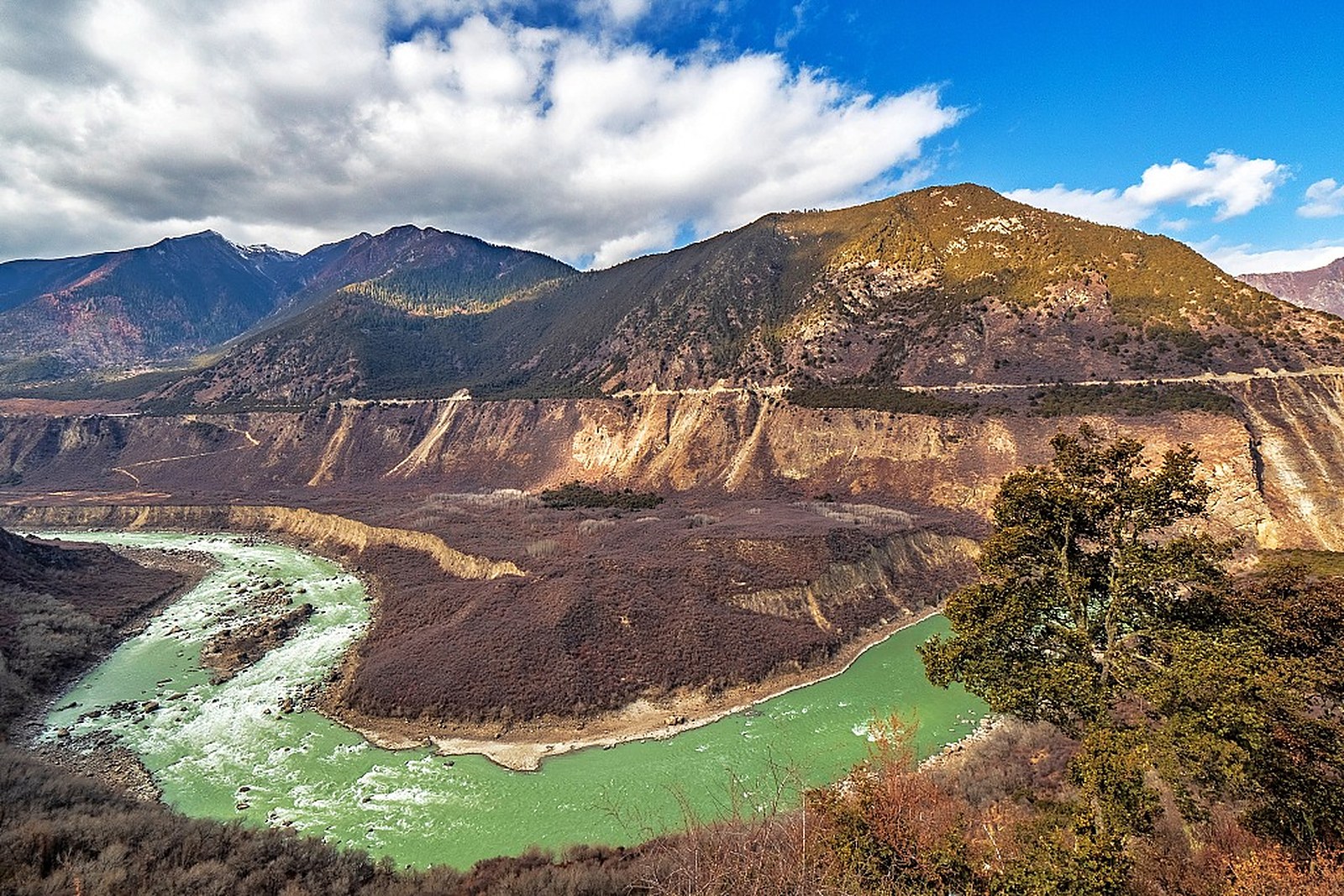
Travelers see the canyon on its terms. The scenic area runs from the gate near Pai along the lower gorge, where shuttle roads and 观景台 guānjǐngtái viewpoints trace the river through stretches of pine, sandbar and steep-walled village terraces; private cars stop at the gate, and the slow pace is part of the point. Between overlooks the canyon reveals itself in layers – a folded wall of rock here, a hanging glacier there, a suspension bridge over a side stream, barley fields held by stone walls on slopes that look impossible to farm.
The numbers behind the scenery are what make it singular. The gorge reaches depths of more than five kilometers from peak to river – several times deeper than the Grand Canyon – and its funnel shape channels Indian Ocean moisture northward, so that tropical species grow at latitudes where glaciers hang on the next ridge. Botanists call it one of the world’s great vertical nature museums; travelers simply call it the single most celebrated landscape of the 林芝市 Línzhī Shì Nyingchi region.
Practicalities
- The scenic-area gate sits near Pai town; tickets include the shuttle road along the lower gorge, and a full visit takes most of a day.
- The lower gorge is warm and dry – bring sun protection and water, a contrast to the cool passes behind you.
- Combine the canyon with a night at 索松村 Suǒsōng Cūn Sosong village for the classic dawn view over the fields.
- Private vehicles are restricted beyond the gate; drone rules are strict in the reserve, so check locally before flying.
Words and Names
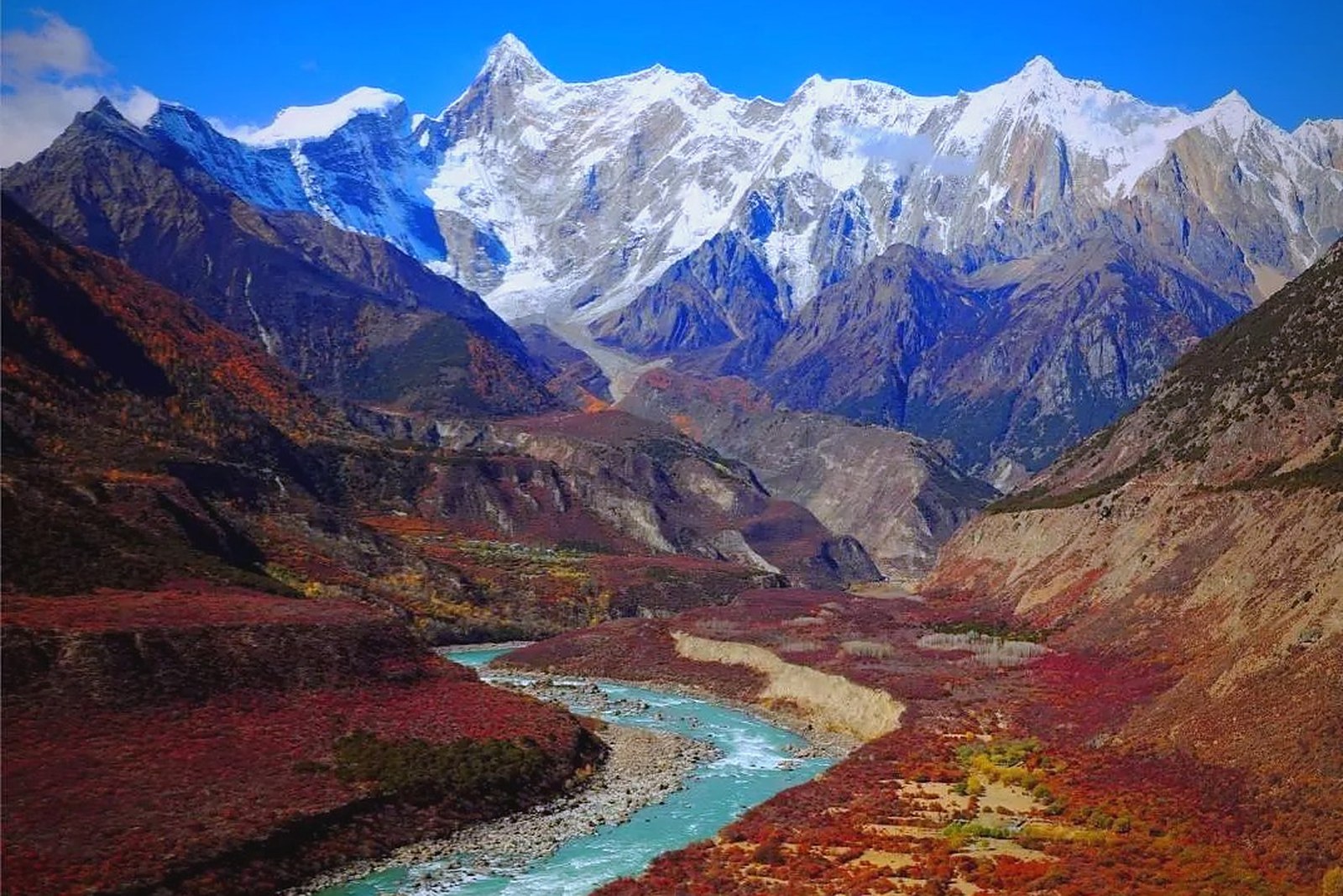
雅鲁藏布大峡谷 Yǎlǔzàngbù Dà Xiágǔ the Yarlung Tsangpo Grand Canyon, the deepest river gorge on earth; 雅鲁藏布江 Yǎlǔzàngbù Jiāng the Yarlung Tsangpo, upper Brahmaputra and the highest major river in the world; 派镇 Pàizhèn Pai town, the gateway settlement at the canyon entrance; 大拐弯 dà guǎiwān the Great Bend around Namcha Barwa; 索松村 Suǒsōng Cūn the barley-terrace village facing the peak. Beyond the canyon, the same 林芝市 Línzhī Shì Nyingchi keeps more places worth the detour: 南迦巴瓦峰 Nánjiābāwǎ Fēng the shy peak of the eastern Himalaya, 巴松措 Bāsōngcuò the green lake with its island monastery, 鲁朗林海 Lǔlǎng Línhǎi the forest sea below the pass, or 米堆冰川 Mǐduī Bīngchuān the glacier that comes down to the farm fields – four more doors into the same Nyingchi. Once the gorge is behind you, our Nyingchi food map fills the table.
flowcloud would say the canyon is the Himalaya showing its math homework – five vertical kilometers of it, with a river doing the arithmetic. All checked November 2026.
Getting there: From Bayi town the road to Pai runs south about two hours; the scenic-area gate at Pai issues tickets and shuttle buses along the canyon rim, with private vehicles restricted beyond. Full visits take a long day from the city or overnight at Sosong village. All checked November 2026.