
Zanda Earth Forest — the Valley That Eroded into Cities
象泉河谷立土城,风雨千年刻万峰 Xiàngquán Hé gǔ lì tǔ chéng, fēngyǔ qiānnián kè wàn fēng – Earth cities stand in the Sutlej valley; a thousand years of wind and rain carved ten thousand peaks
札达土林 Zhádá Tǔlín the Zanda earth forest fills the valley of the 象泉河 Xiàngquán Hé Sutlej river in Zanda county – hundreds of square kilometers of eroded towers, gullies and battlements cut from the sediment of an ancient lake bed. Where the road crests the ridges on the way in, the formation appears all at once: a whole country of earth pyramids, avenues and ruined-city walls stretching to the snowline, violet in shadow and gold in sun. Geologists read the terraces as the record of the Himalaya’s own rise – lake sediments laid down as the mountains lifted, then cut open and carved as the valley drained – and travelers simply read it as the strangest, most beautiful approach to any county town on the plateau.
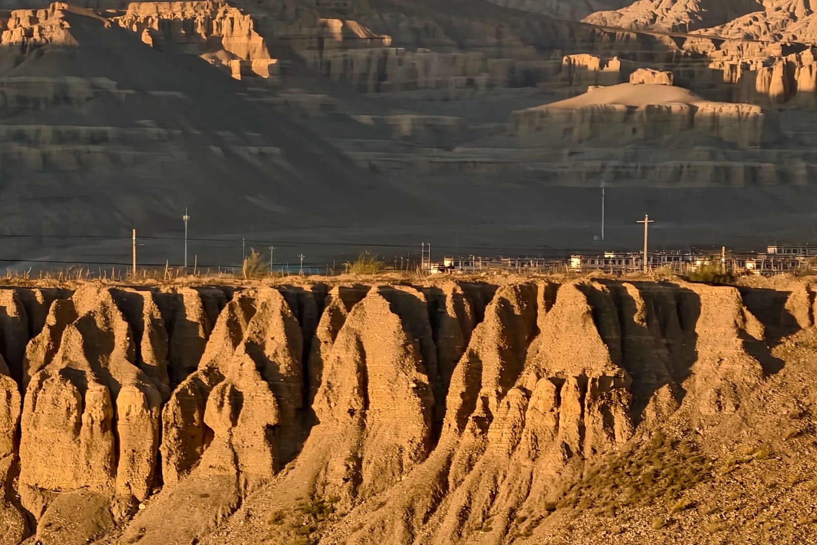
The formations change with every hour of light. Morning turns the canyon walls rose and amber with long shadows between the towers; afternoon sharpens every ridge into relief; after rain the colors saturate and the clay gleams like glazed ceramic. The road to Zanda county town threads directly through the formations, descending from the rim through walls several hundred meters deep – the drive itself is the museum, and pullouts appear where the geometry is at its wildest.
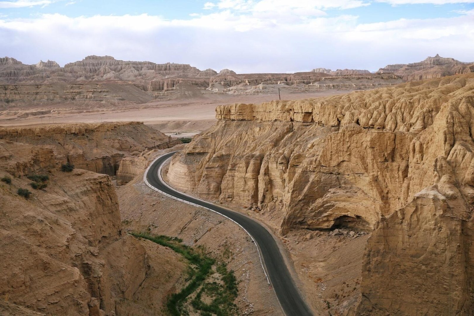
Down by the river the valley softens: fields and orchards line the bottom lands, villages sit under the towers, and cave mouths puncture the cliff faces where hermits and villagers made homes in the soft rock. The combination of fertile valley floor and impossible walls gives Zanda a character unique in the far west – a green ribbon under yellow citadels, with the ruins of Guge itself rising from one of the formation’s own hills across the water.
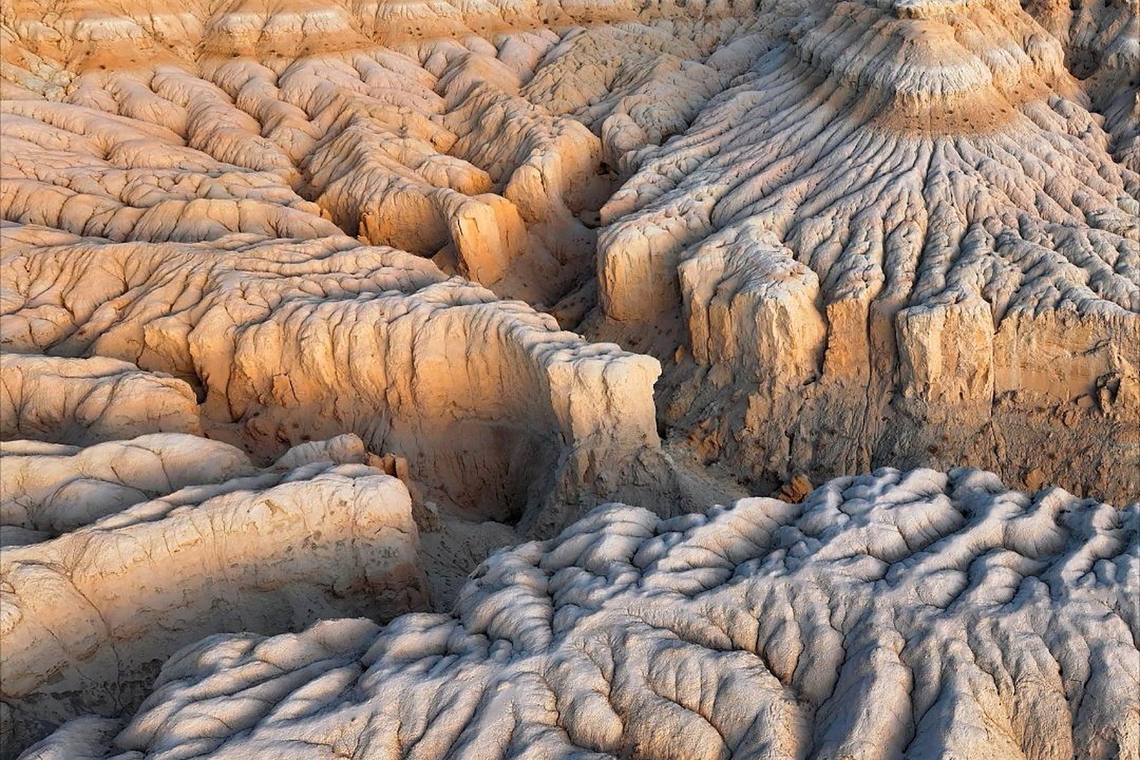
Side valleys carry the display further. The 霞义沟 Xiáyì Gōu Xiayigou branch northwest of town holds some of the finest and most fragile towers, their banded walls showing every layer of the ancient lake; the canyon roads beyond run to abandoned fort sites and viewpoints where the formation runs unbroken to the horizon. Walk a short way into any gully and the sound changes – wind through dry channels, gravel ticking downslope, the deep quiet of a landscape still being made. The earth forest is not a site to visit; it is a country to drive through slowly, twice if you can.
Practicalities
- The formations begin at the rim roads before Zanda county town; the descent through the canyon is the signature drive – take it in daylight.
- The Xiayigou side valleys lie northwest of town on unsealed roads best driven in dry weather.
- Dust is constant at the valley floor; carry windproof layers, water and sun protection.
- Best light is early and late; the canyon runs east-west, so afternoon lights the towers’ faces from the rim road.
Words and Names
札达土林 Zhádá Tǔlín the Zanda earth forest, the eroded lake-bed country of the Sutlej; 象泉河 Xiàngquán Hé the Sutlej, the river that carved the valley; 霞义沟 Xiáyì Gōu Xiayigou, the side valley of the finest towers; 土林 tǔlín earth forest, the general term for the eroded towers; 湖相沉积 húxiàng chénjī lacustrine sediments, the ancient lake bed the towers are cut from. Beyond the earth towers, the same 阿里地区 Ālǐ Dìqū Ngari keeps more places worth the detour: 古格王朝遗址 Gǔgé Wángcháo Yízhǐ the citadel above the valley, 冈仁波齐 Gāngrénbōqí the holy mountain of Purang, 玛旁雍错 Mǎpáng Yōngcuò the sacred lake, or 班公错 Bāngōng Cuò the long lake of Rutog – four more doors into the same Ngari. Once the canyon is behind you, our Ngari food map fills the table.
flowcloud would say the earth forest is what the plateau dreams in – towers it sculpts for nobody, perfect anyway. All checked November 2026.
Getting there: The formations begin at the edges of Zanda county town itself – the descent into the valley is the drive through them; the Xiayigou side valleys lie northwest of town on unsealed roads best taken in dry weather. All checked November 2026.