
China’s First Beach and the Windbreak Behind It
中国第一滩 Zhōng guó dì yī tān translates as China’s First Beach, and the name is an ambition rather than a description. It belongs to a stretch of the 南海半岛 Nán hǎi bàn dǎo, the peninsula that closes the 水东湾 Shuǐ dōng wān on its seaward side, in the 电白区 Diàn bái qū district of 茂名市 Mào míng shì. The beach itself is a long shallow curve of fine grey-white sand facing south-east into open water, and the thing that made it famous is not the sand at all but what stands behind it: a belt of casuarina and eucalyptus that runs for twenty kilometres along the back of the dunes and has been doing so since the 1950s. It was the first coastal shelter belt in the country to be successfully planted, and for sixty years it has been doing the job it was planted for, which is to hold the sand down and take the wind out of the typhoons that come ashore here.
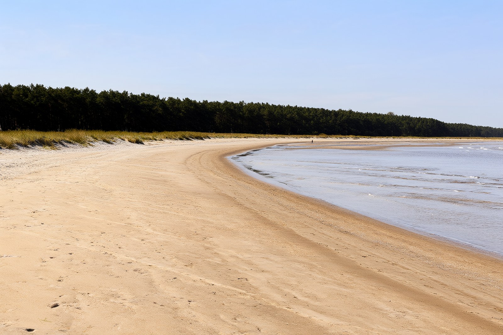
The belt is the reason the place entered the national imagination. In 1973 the painter 关山月 Guān Shān yuè made a large picture of exactly this forest seen from the sea and called it 绿色长城 Lǜ sè cháng chéng, the Green Great Wall, and the painting was hung in the Guangdong room of the Great Hall of the People in Beijing, where it still is. The phrase stuck to the trees. It is not a poetic invention: the 博贺 Bó hè shelter belt and its neighbours were planted because the sand was moving, burying fields and roads, and the planting was done by hand by the villages along the coast over several years. The belt is now a protected strip of woodland about a kilometre deep in places, with tracks and paths through it, and the experience of arriving is genuinely odd in a good way – you come through dark, close-packed woodland and the sea appears all at once at the far end of it.
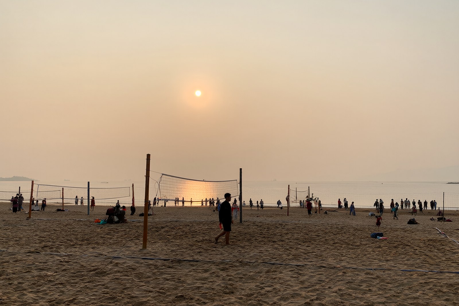
The beach was developed from 1993 and is now a national 4A-level scenic area. The peninsula’s own figure for the main strand is twelve kilometres long and around three hundred metres wide, which makes it large enough to hold a reported hundred thousand people without anyone feeling crowded, and the district has used it accordingly: it is one of the country’s beach-volleyball training bases, and it has hosted the national beach volleyball championships, Asian beach volleyball tournaments and a world women’s beach volleyball open. The sea is warm enough for swimming from about May to October, the water is shallow for a long way out, and the surf is normally modest. Along the back of the beach there are the usual facilities – changing rooms, showers, seafood restaurants, stalls – and behind the trees there is a golf course and a scattering of hotels.
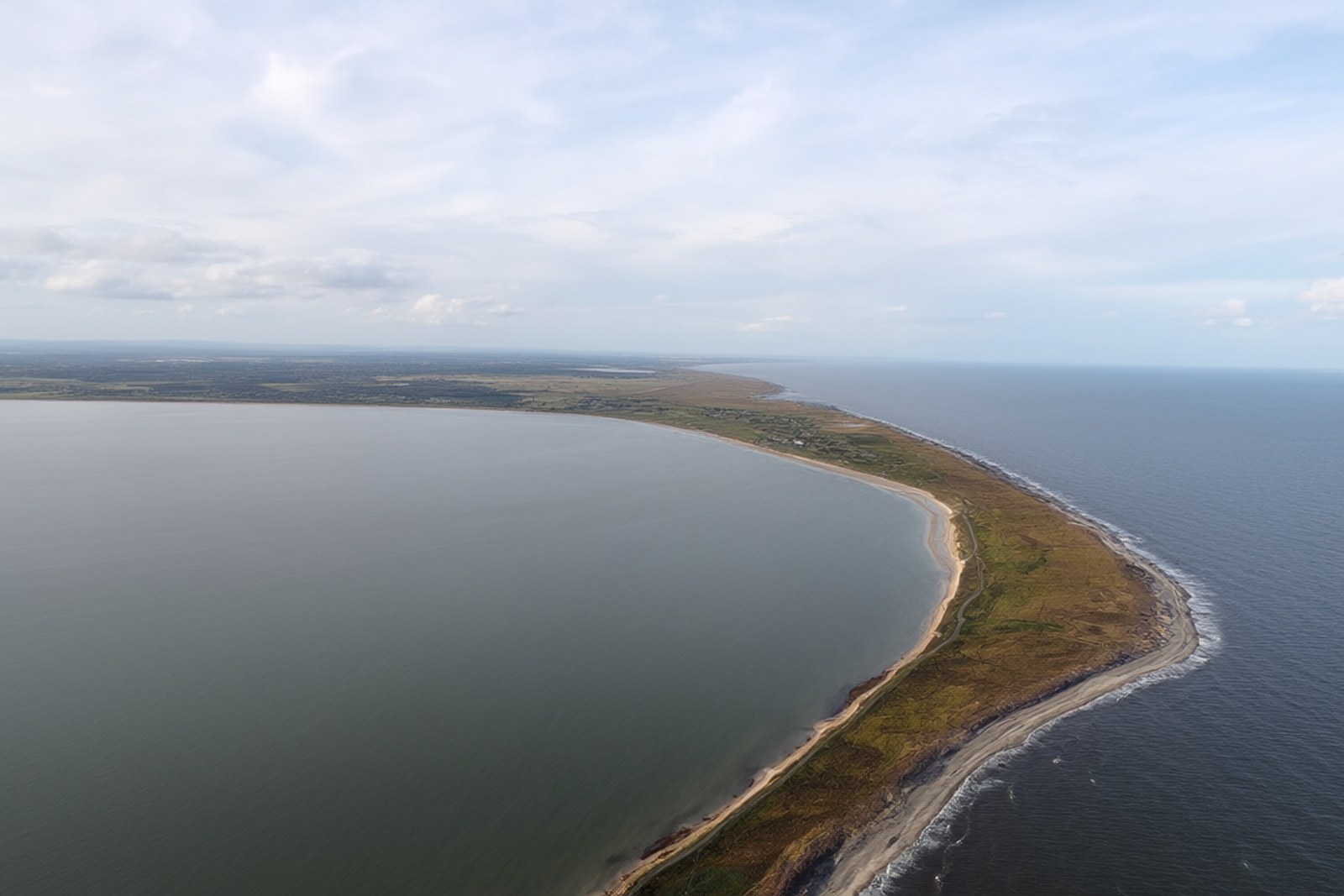
The peninsula has more than the one strand. 虎头山 Hǔ tóu shān, Tiger Head Hill, sits at the western end with sand on both sides of it, and 晏镜岭 Yàn jìng lǐng is the headland at the other end of the same stretch, a bare rocky ridge rising four hundred-odd metres out of the coastal plain with a view along the whole bay; it has picked up the nickname 小垦丁 xiǎo Kěn dīng by comparison with the Taiwanese headland, and the last hour before sunset is when people go up it. Between them 童子湾 Tóng zǐ wān, also called 澳内海 Ào nèi hǎi, is a fishing village and a shallow cove twenty-five kilometres from the centre of 茂名 where the boats come in and the seafood is cooked on the quay. The other half of the peninsula faces the inner bay, the 水东湾, and the 水东湾大桥 Shuǐ dōng wān dà qiáo crosses the mouth of it, which means you can drive a loop around the whole peninsula and the bay in an afternoon.
Practicalities
Tickets. The beach area itself is open and free; what is charged for is the use of facilities, the parking, and the water sports, which run from a few tens of yuan for a jet-ski ride to several hundred for a package. Anything with a gate on it inside the peninsula – the resort hotels, the golf course – prices its own services separately.
Opening hours. The beach is open at all hours and is at its best in the late afternoon; swimming is supervised in the main season but there are no lifeguards out of it, and the tidal range on this coast is significant, so the waterline moves a long way between tides. Two hours is enough for the beach and the belt of trees; half a day if you add 晏镜岭 and the sunset.
Getting there. The peninsula is in 电白区 in 茂名市, about forty minutes by road from 茂名站 Mào míng zhàn on the 深湛 railway and roughly twenty-five kilometres from the city centre; the beach addresses on the peninsula are along 海滨二路 and 一港大道, and the coast road runs on round to 博贺 and the resort strip. There is no airport in the city, so arrivals come through 湛江 or 广州 and continue by rail.
Closing day. There is no closing day; the beach and the shelter belt are open all year and the only days that shut anything are typhoon days, when the district closes the water and sometimes the access roads. The seafood restaurants along the shore keep their own hours and several close for part of the winter, and the water sports operators pack up outside the summer season, so a visit between November and March is a walk rather than a swim.
flowcloud would say that the most famous beach in this province is famous not for its sand but for a line of trees planted by hand to stop the sand moving, and that a painter who came to look at the trees ended up hanging the answer to a coastal erosion problem in the Great Hall of the People.
Getting there: 中国第一滩 is on the 南海半岛 in 电白区, 茂名市, reached by road from the city centre in about forty minutes and from 茂名站 Mào míng zhàn on the 深湛 railway in a similar time; the beach is signposted off 海滨二路 and there is parking behind the trees, and the same coast road continues east to 博贺 and west to the fishing village at 童子湾.